Showers Arriving This Afternoon
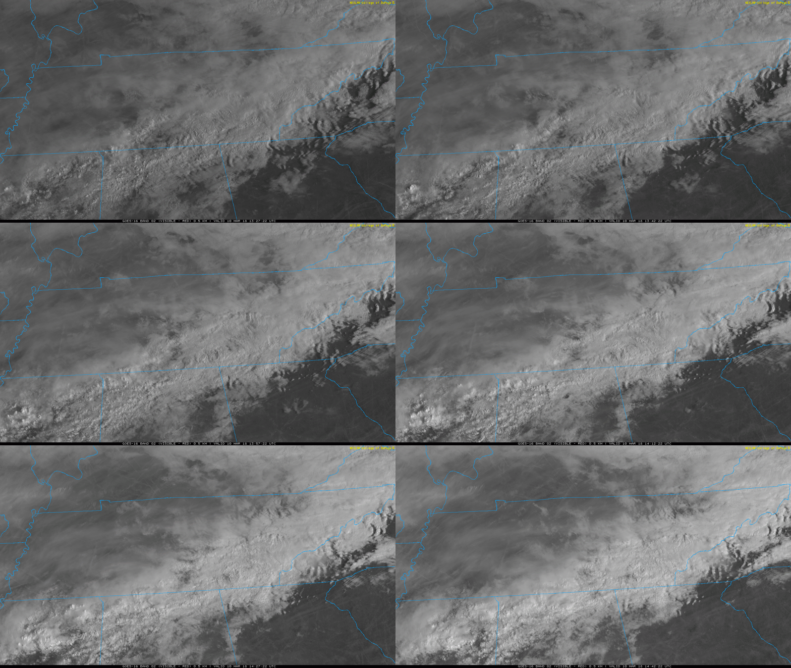
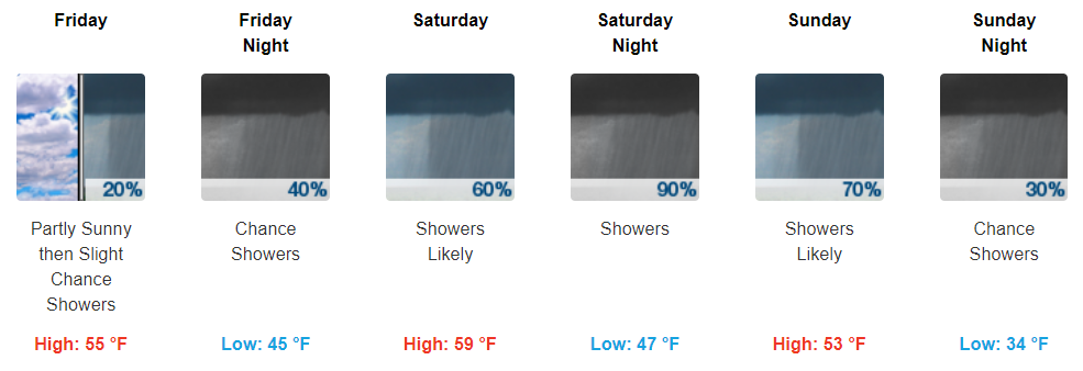
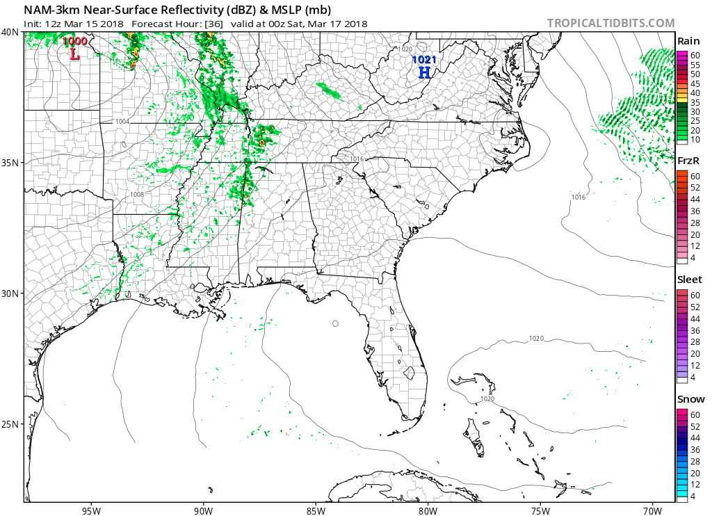
Streamline of clouds currently blankets our skies as we wait for showers to arrive. Right now (10:58 AM), showers look to be just now making their way into the most northwestern portions of Middle Tennessee.

Streamline of clouds currently blankets our skies as we wait for showers to arrive. Right now (10:58 AM), showers look to be just now making their way into the most northwestern portions of Middle Tennessee.

Hopefully you got out and enjoyed today’s warmer temperatures! We’ll be a tad chilly tonight, with the mercury sinking into the upper 40s for overnight lows. You will want a light jacket if you are headed out the door this evening.

Today and tomorrow look to be two pretty nice days with highs above average for the time of year. Sunny skies will prevail each day.
https://giphy.com/gifs/gutearbeitoriginals-perfect-top-l3q2LH45XElELRzRm

Today was the last day under the influence of a northerly wind, so by tomorrow, a southerly wind component is expected to return.
Thursday and Friday will both be beautiful days, each better than the next. Highs Thursday will hover in the mid to upper 50s, but soar into the 60s on Friday.

Temps today will stay near-average with highs topping off in the mid-40s. However, it may feel a bit cooler at times due to the cloudy skies and brisk winds. Winds will stay in the 10 to 15 mph, but some gusts as high as 20 mph are possible.

After a few rumbles of thunder and moderate to heavy rainfall this morning, clouds and precipitation will quickly scoot east this afternoon, leaving us with gradually clearing skies. Temperatures are still expected to climb into the low-mid 60s, since the cold front is still lagging well behind the rainfall.
A cold front responsible for shenanigans tonight in eastern OK, western AR, and northwest TX will trek east. No severe shenanigans are expected here, just rain.
Winds tomorrow will gust over 30 MPH at times. A Wind Advisory may be issued while we sleep tonight.
Warm air is being pumped in by south winds, high 66°, no doubt you’ll see people rocking shorts and flip flops today.
Winds sustained 15-20 MPH, with gusts to 30-35 MPH. This will blow over lightweight outdoor stuff.

Happy weekend! This weekend looks fantastic for any outdoor plans you may have. Highs today will top off in the low-50s before reaching into the low-60s on Sunday. Enjoy the amazing weather!
https://giphy.com/gifs/veep-3o7qE32pRVNYJYKGBO

Happy Friday, everyone. Southerly flow is returning to the area and will continue pumping in warmer air. Afternoon temperatures will peak in the mid 40s, dipping into the low 30s tonight.
Saturday will be a warmer repeat of today, with some additional clouds filtering in from the south. Sunday is a carbon-copy of Saturday, with temperatures climbing into the lower 60s!
You must be logged in to post a comment.