
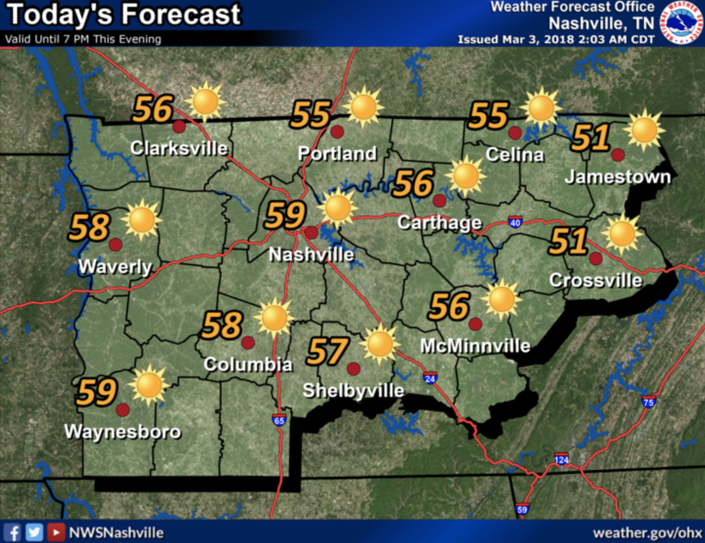
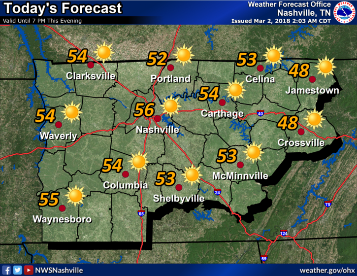
Cloudy Skies Today, Uncertainty with Showers Over the Next Two Days
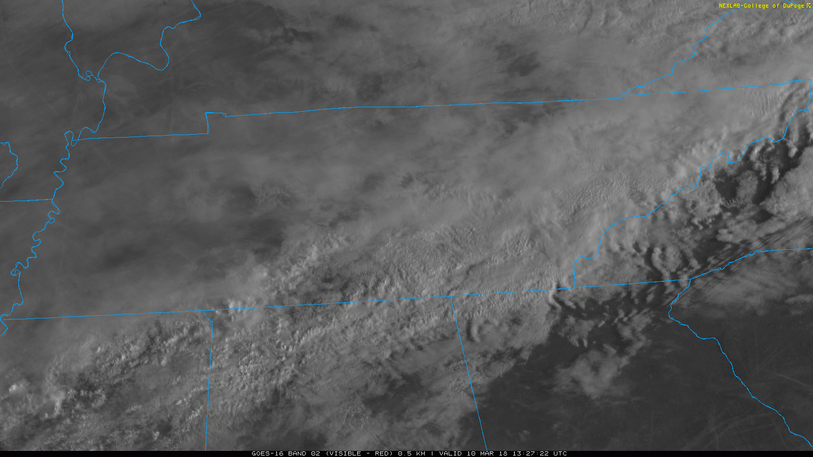
A blanket of clouds currently sits over much of Middle Tennessee. Expect clouds to hang around throughout the day.
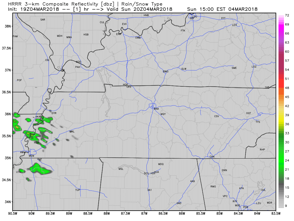
We’ve been talking about shower chances for the past few days now and luckily we may stay in the clear today. Showers are currently set up to our south and both the HRRR and NAM3 have them staying there. We still have the outside chance of a scattered shower, but no washout is expected for today.


You must be logged in to post a comment.