
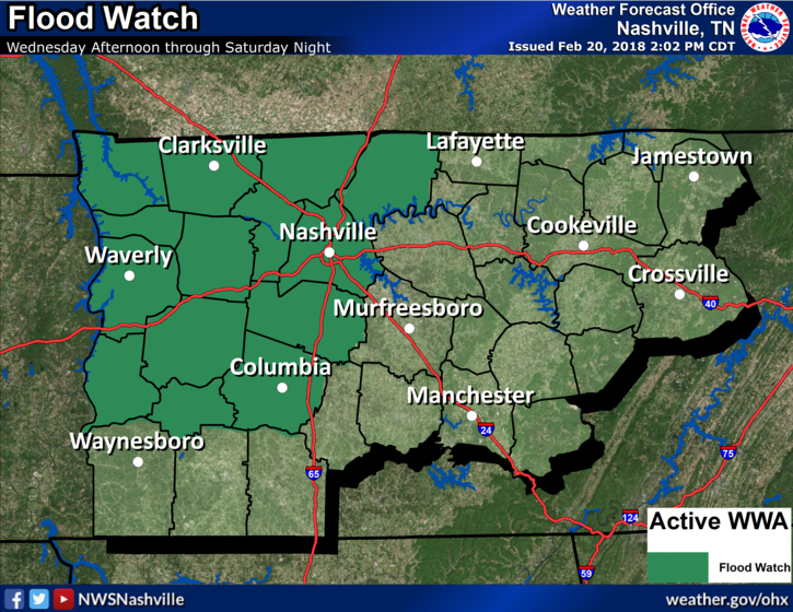
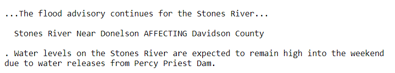
Unsettled, Wet Weather Pattern Beginning Today
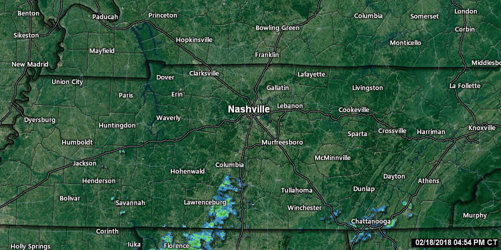
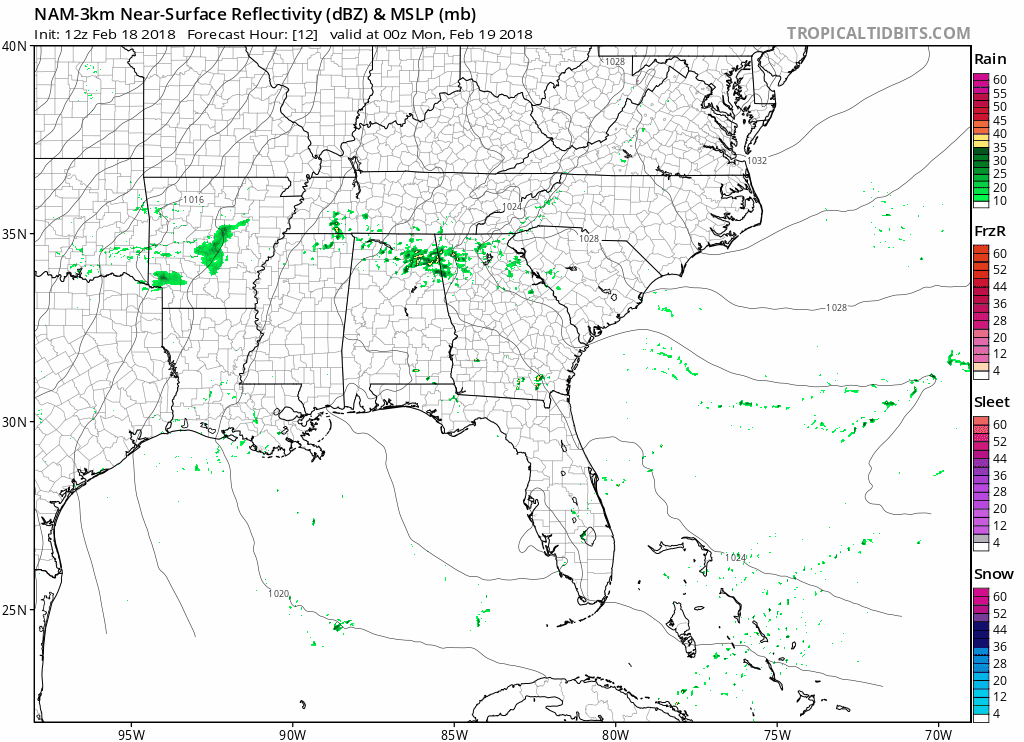
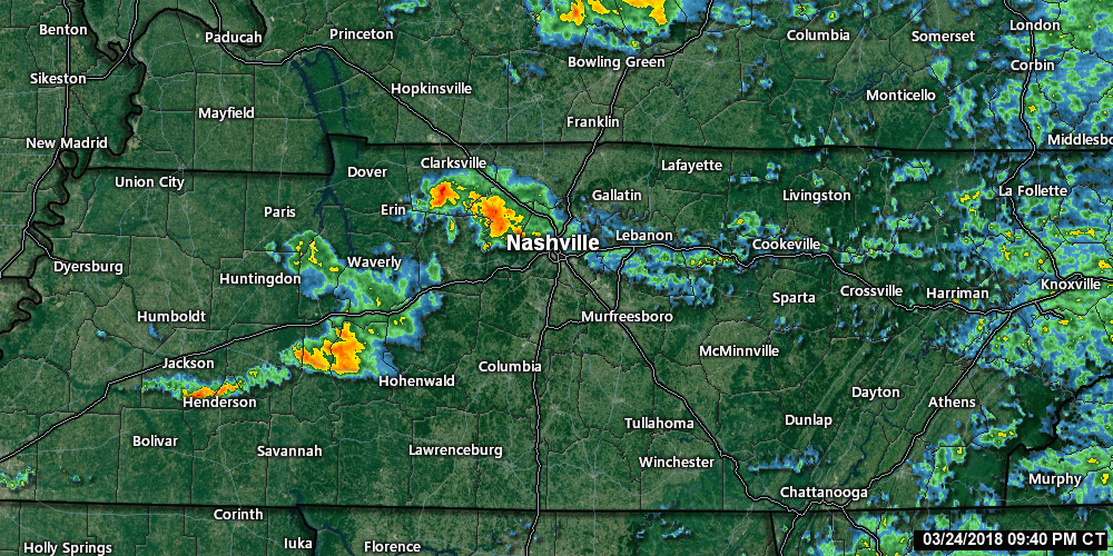
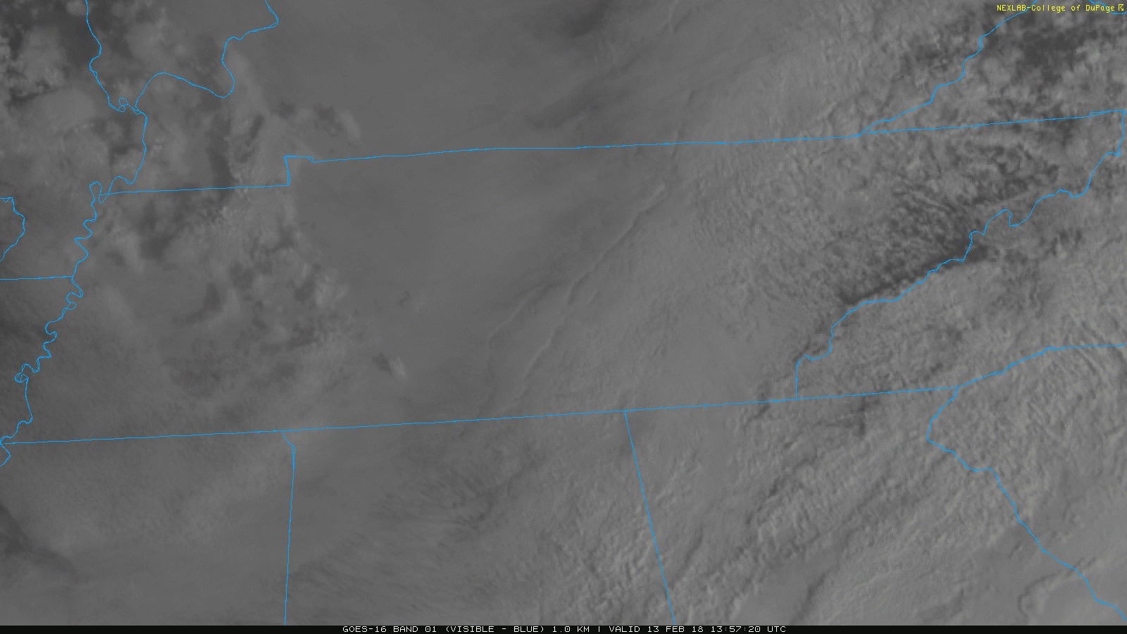
Rain showers are moving from southwest to northeast through the Mid-State this morning. A surface cold front is slowly meandering through north-central Tennessee, too. Temperatures will be several degrees cooler today, thanks to that and the addition of rainfall. A few thunderstorms are possible through the remainder of the day, but severe weather is not expected.
You must be logged in to post a comment.