
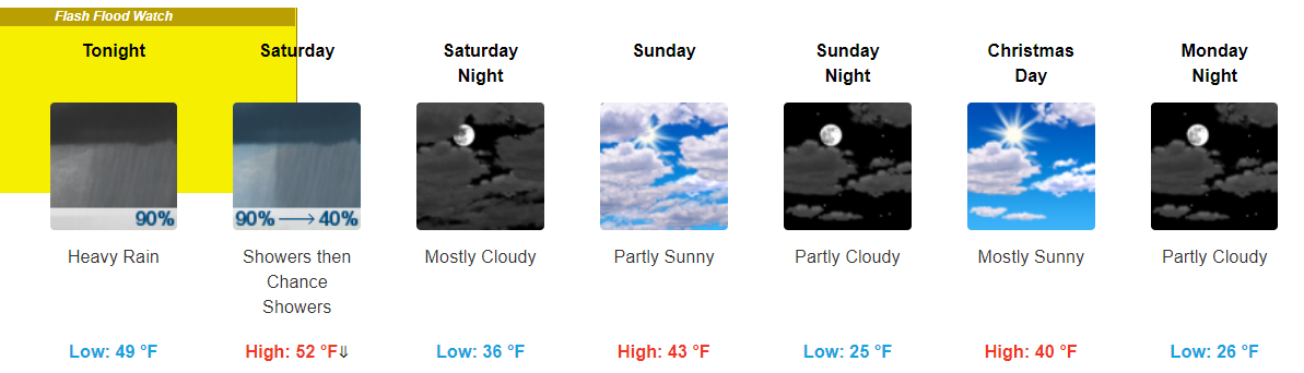
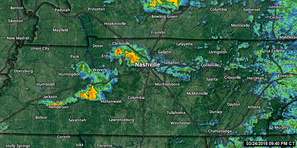
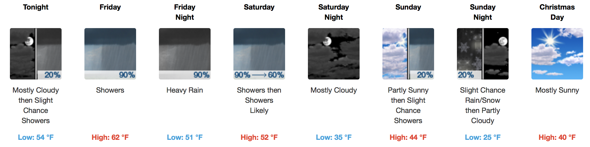
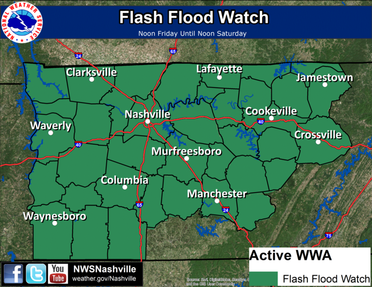
“Coldest Morning In Nearly A Year” – NWS Nashville
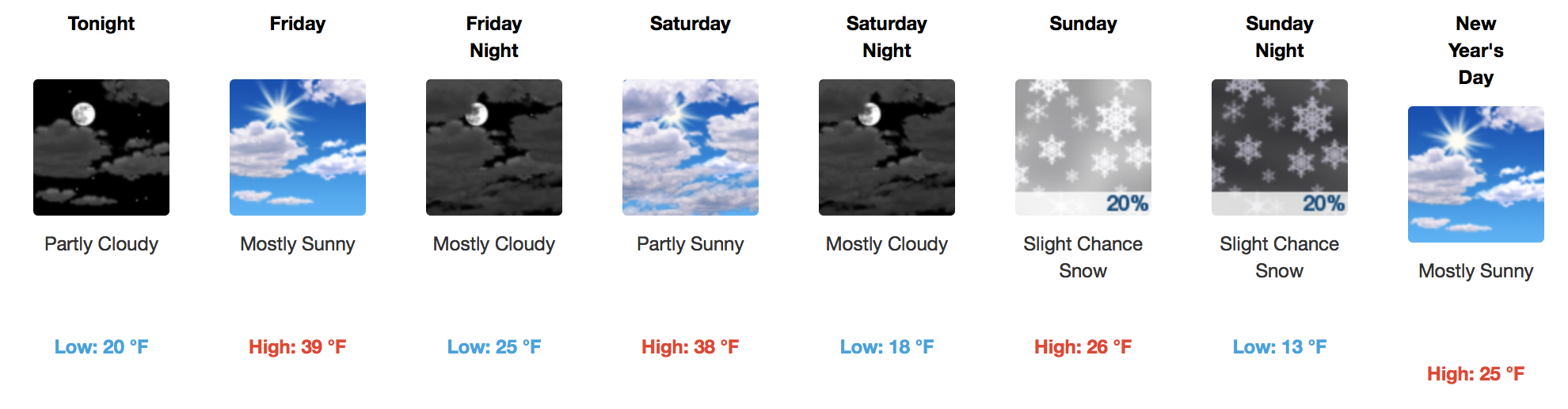
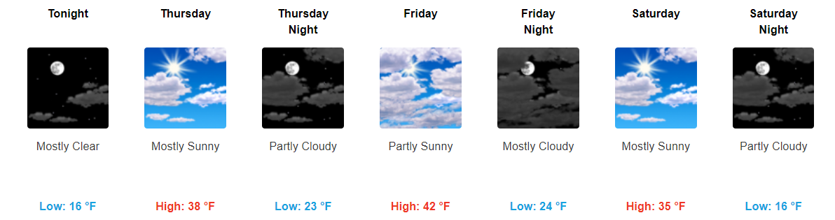
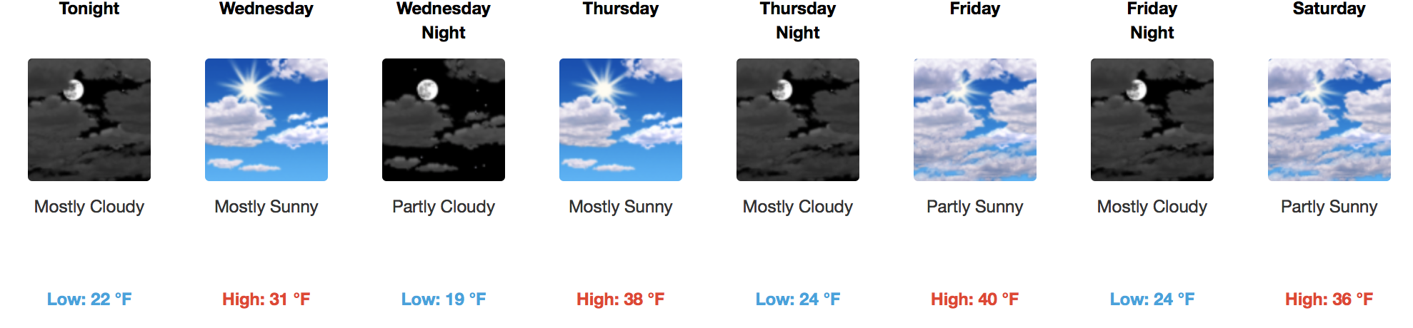
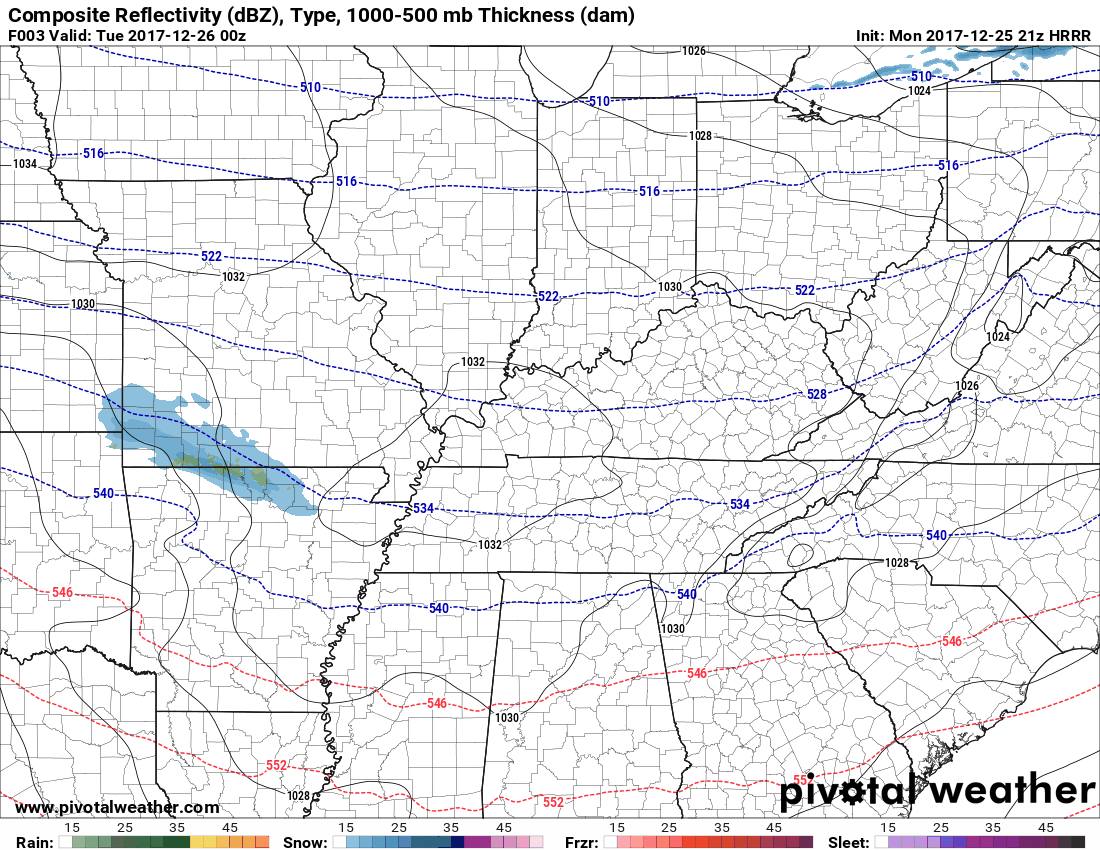
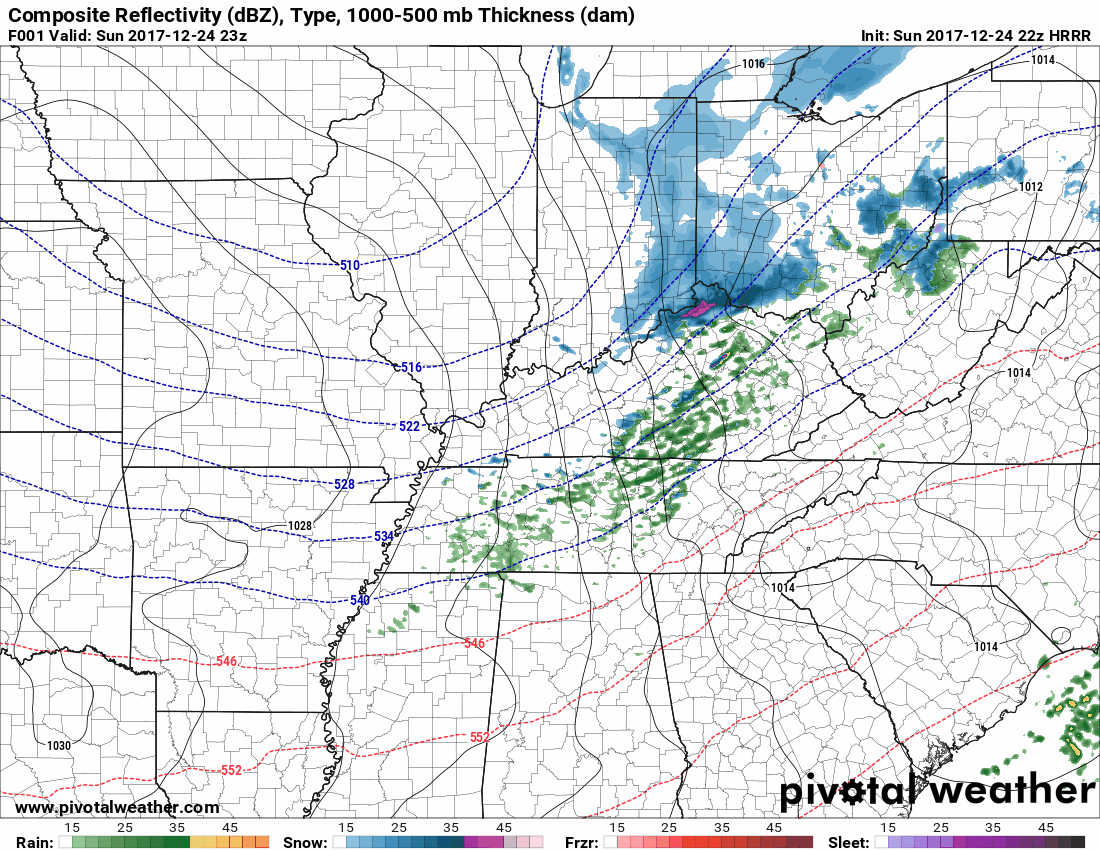
Most thermometers were reading in the teens this morning, but thanks to dry air, we will warm up into the middle 30s this afternoon. A few passing clouds are expected throughout the day, with a steady increase in cloud cover by Friday afternoon and evening. Saturday, temps will begin their nose dive in the mid-30°s, too cold for paintball or any other reasonable outdoor activity, then Saturday night we’ll plunge below freezing and stay there for the next four days.
You must be logged in to post a comment.