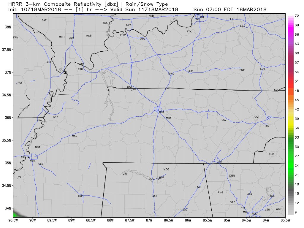
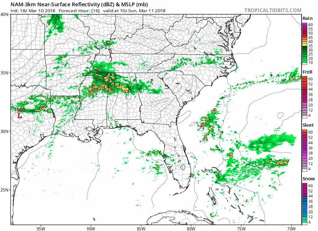
Colder Today, Lots of Sunshine
GOES East Loop

Scattered clouds are moving off the plateau this morning, leaving much colder air in its wake. Middle Tennessee will struggle to get out of the 30s today for afternoon highs, even with abundant sunshine.
GOES East Loop

Scattered clouds are moving off the plateau this morning, leaving much colder air in its wake. Middle Tennessee will struggle to get out of the 30s today for afternoon highs, even with abundant sunshine.
At 9:45 AM rain is changing to snow near STL. System will take I-24 to Nashville. Most of it will be rain. Possible rain will change to snow after the PM rush hour as the precip departs east. Party/Panic level: low…but interested. pic.twitter.com/6njsVTb8L5
Gusty southerly winds today will drive warmer air into Middle Tennessee quite quickly. With additional sun, we should have no problem reaching the upper 50s to near 60ºF this afternoon. If you can get outdoors, today’s your day!
Today and tomorrow look to be two pretty nice days for this week.

Sunny today and tomorrow with temps in the low 40°s today and highs skyrocketing into the upper 50°s tomorrow. Winds tomorrow may get a bit gusty at times with winds in the 10-15 mph range and gusts upwards of 25 mph.
You may have seen some flurries today, and you may see a few more tonight as some weak energy rolls overhead…enough to manufacture very light snow. No travel impacts or accumulations are expected.
Love snow? Don’t get excited. At least, not yet.
All quotes from NWS-Nashville.
So low, it’s not even in the weekly summary:

Clearing will be brief as a fast-moving shortwave clips the mid state tomorrow [Monday] and even brings a chance of light rain/snow mainly to the northern Plateau before making a quick exit.
We’re slowly peeling away the drizzle, fog, and clouds this morning. Rain lingered overnight, but it’s now finally southeast. 0.40″ fell in the official can at BNA.
Today should be pretty nice, high 57°.

Streamline of clouds currently blankets our skies as we wait for showers to arrive. Right now (10:58 AM), showers look to be just now making their way into the most northwestern portions of Middle Tennessee.

Hopefully you got out and enjoyed today’s warmer temperatures! We’ll be a tad chilly tonight, with the mercury sinking into the upper 40s for overnight lows. You will want a light jacket if you are headed out the door this evening.
You must be logged in to post a comment.