

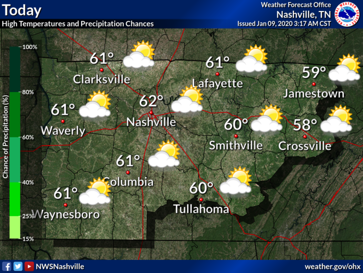
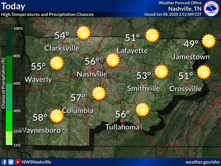
Sunday and Monday: Quiet
High temperatures today (Sunday) will reach 54° with mostly cloudy skies.
Monday looks the same but with a high of 64°.
This is a nice break after the very windy and rainy weather we had yesterday.
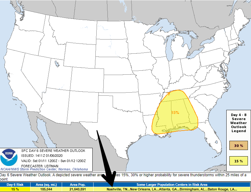
Rain This Week
… and there is no end in sight (just kidding, but it may feel like it). A few active weather patterns look to bring the chance of rain to the area all week.


You must be logged in to post a comment.