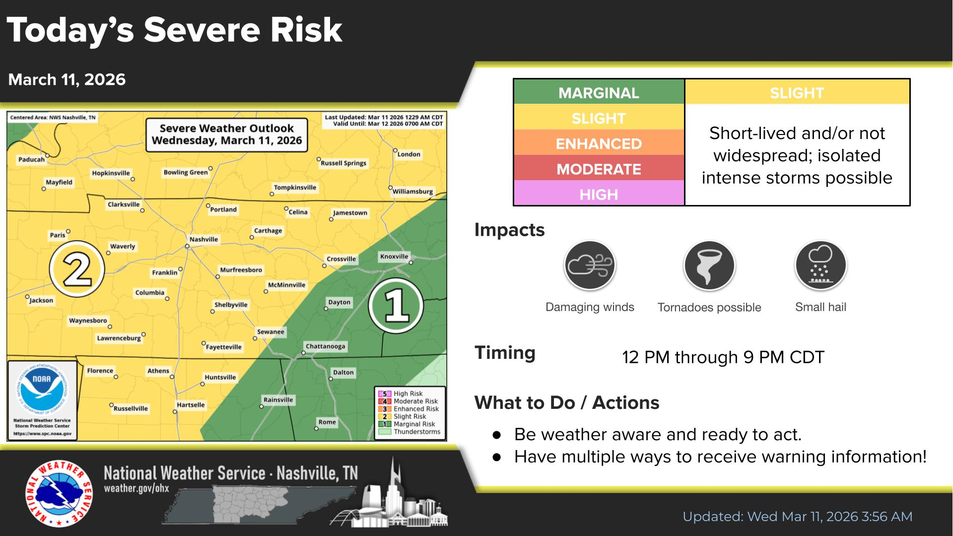
Stay connected. Isolated intense storms are possible today with the chances of seeing these things within 25 miles of you…and associated odds: Tornado (2%), Damaging Straight-Line Wind (15%), Large Hail (5%).

Stay connected. Isolated intense storms are possible today with the chances of seeing these things within 25 miles of you…and associated odds: Tornado (2%), Damaging Straight-Line Wind (15%), Large Hail (5%).
A line of storms is expected to arrive in our two counties in the 1-4 pm range, carrying a risk for damaging straight-line winds and possibly a tornado, although the risks are low. HRRR model from 11 am – 8 pm.
The record high for today is 76° set back in 1964. We won’t get there today (we don’t think), but we are running about 20° above average. Forecast high at BNA is 71°.
For Christmas Day, the record high is also 76°, set only four years ago in 2021. We should make it up to about 72° this year.


Our next weather system will approach Wednesday. It’ll be a cold front that’ll knock our temps back down for Thursday, but nothing extreme. Not even expecting precip with this cold front.
However, you will notice south winds pick up ahead of this front. Gusts to 30 mph possible tonight and into Wednesday. Strap down your outdoor decorations!

Endure today, and things will get better tomorrow. That applies to more than today’s weather, btw.


We were hoping for a high in the low 50s today, but these clouds are really really stubborn…and keeping us squarely in the mid 40s.
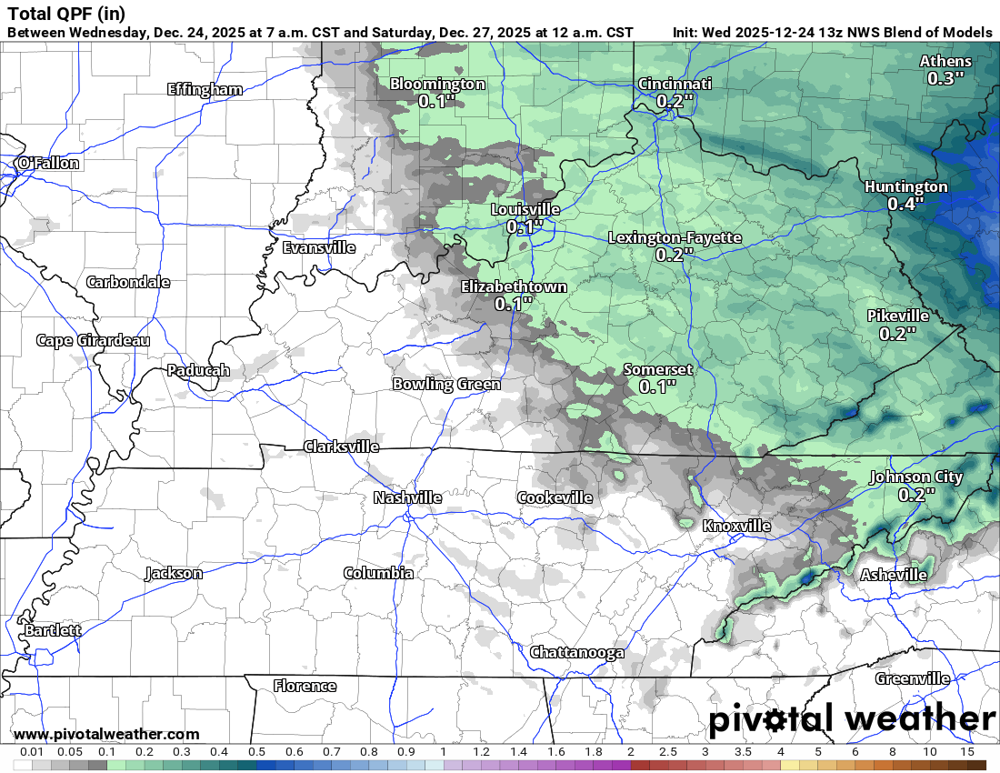
A cold front arrives tonight, bringing our next rain chances. Amounts will generally be a tenth of an inch or less. HRRR from 8 pm tonight – 8 am Monday.

While Winter doesn’t officially start until the 21st, we’re right in the middle of it meteorologically. I had my driveway concreted the other day, and we’re currently accessing our house by driving through this and through a field….so I’m as ready as anyone for some sun and warmer temps. If you see a mud-covered pickup truck with a NashSevere sticker driving around, wave. I’ll wave back.


Blerg conditions are met when temperatures are below 40 degrees, no snow, no sun. Officially, the forecast high temp is 41 at BNA. I dunno that we’ll get there. Blerg.
Temps hit 50 degrees for Saturday and Sunday ahead of our next system. 🎉

Light precipitation begins late this afternoon, continues until after midnight. We expect the margins to be razor thin with this event as to exactly which type of precip occurs where you are. Generally speaking, the chances for all rain and no impacts are highest in S Williamson Co, and the chances for a mostly sleet/snow mixture with temps reaching 32° or below are highest in N Davidson. A mix of sleet, snow and rain will likely exist in between and may go back and forth multiple times. Could even see some freezing rain mix in at times, especially in the higher elevations of W Williamson Co.
You must be logged in to post a comment.