
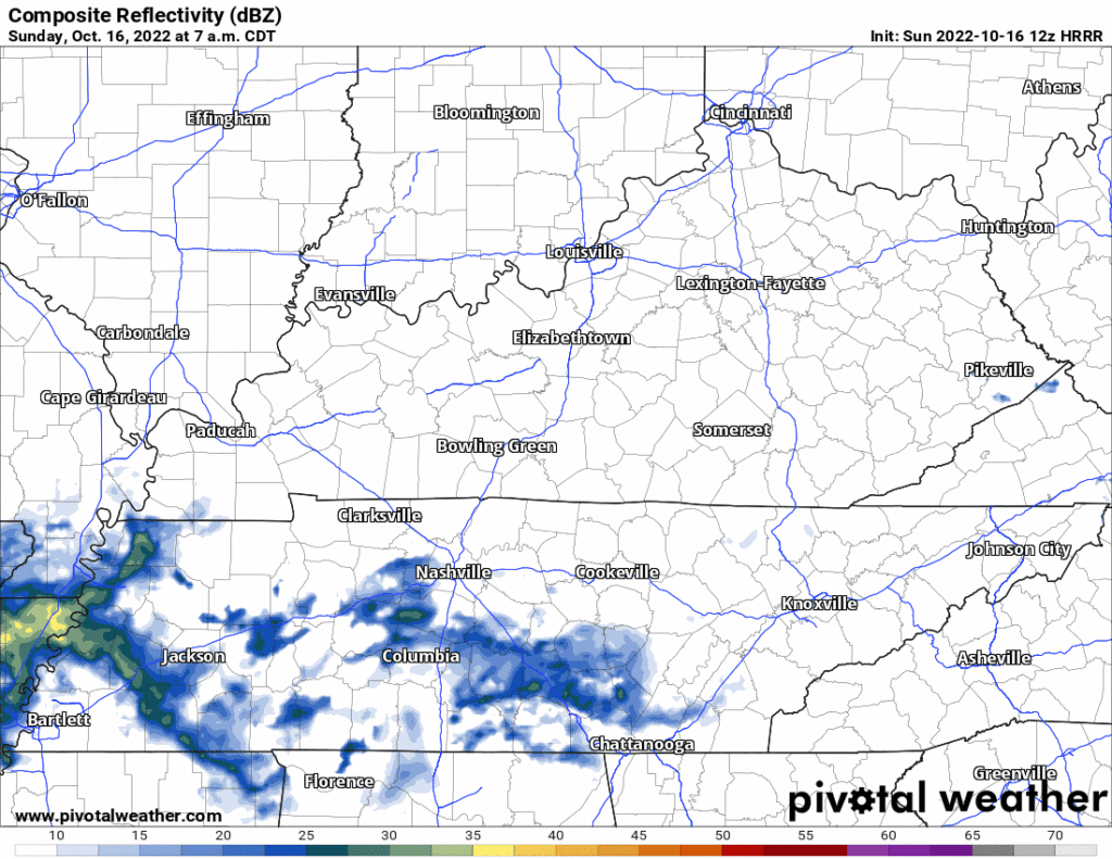
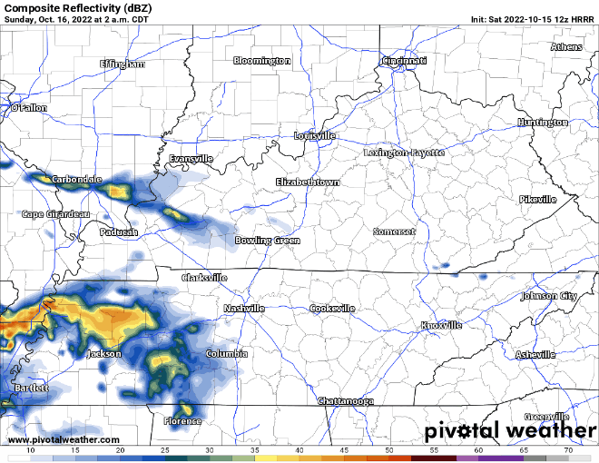
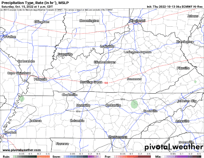
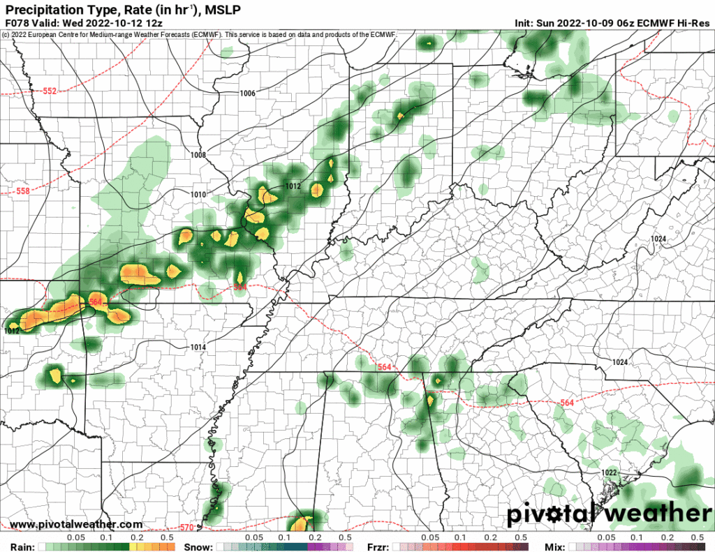
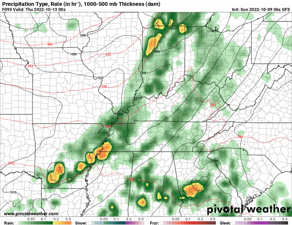
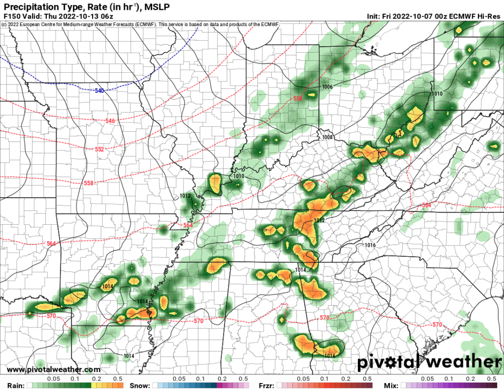
Little bit of rain coming today, meh.
- off and on and light
- about a tenth of an inch total
- “heaviest” this afternoon/earlier tonight, maybe a lightning strike or two
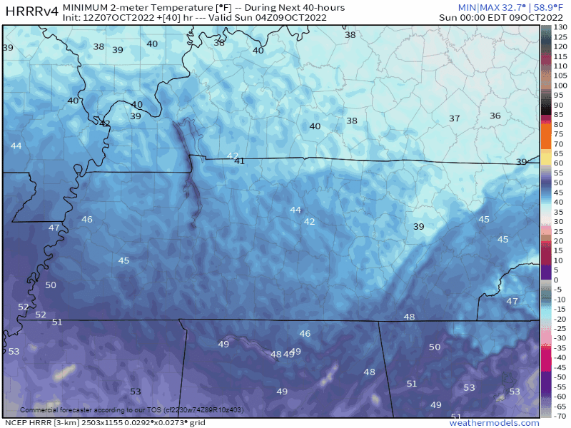
- I’m keeping my maybe a little soggy, so what plans, this is meh, here’s the HRRR because that’s what we do:
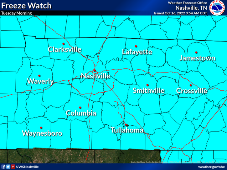
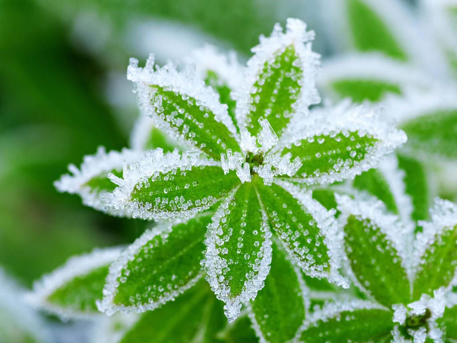
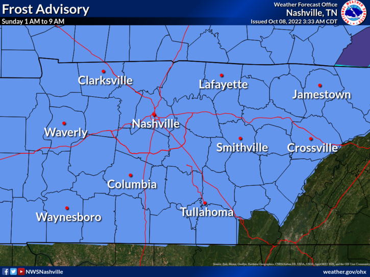
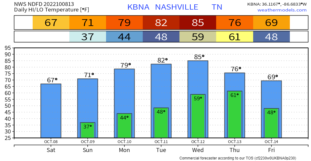
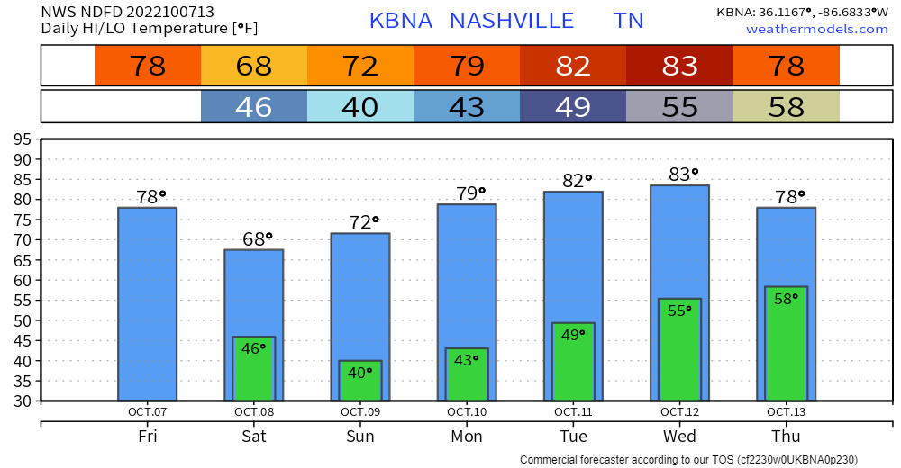
⚠️ Early Tuesday morning Freeze Watch . . .
Frost and freeze conditions could kill crops, other sensitive vegetation, and possibly damage unprotected outdoor plumbing.


You must be logged in to post a comment.