

Dry cold front arrives today.
- No big deal.
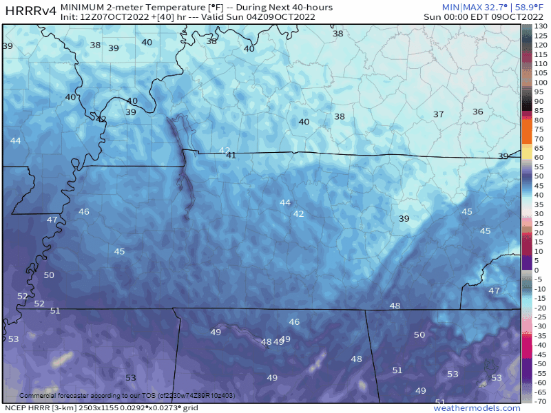
- Upper 30°s for most backyards early Sunday morning.
- Official BNA low 40° Sunday morning. BNA is among the warmer local spots during fall and winter mornings.
- Frost unlikely, except on roofs.
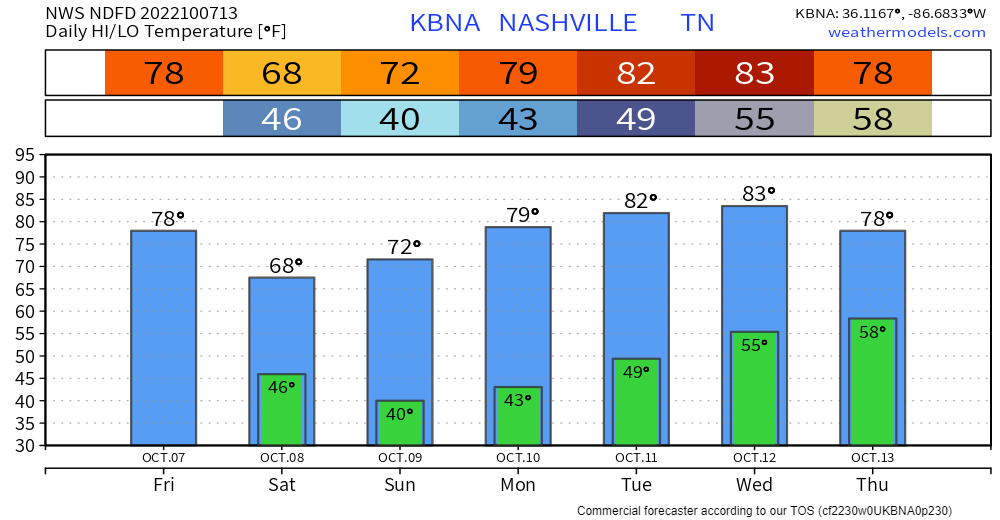
Gradual warmup next week 📈.
Drought continues ⌛
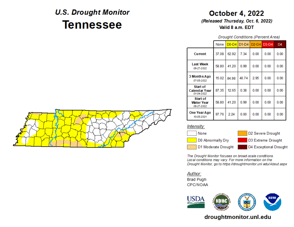
- Has not rained more than 0.02″ since September 11.
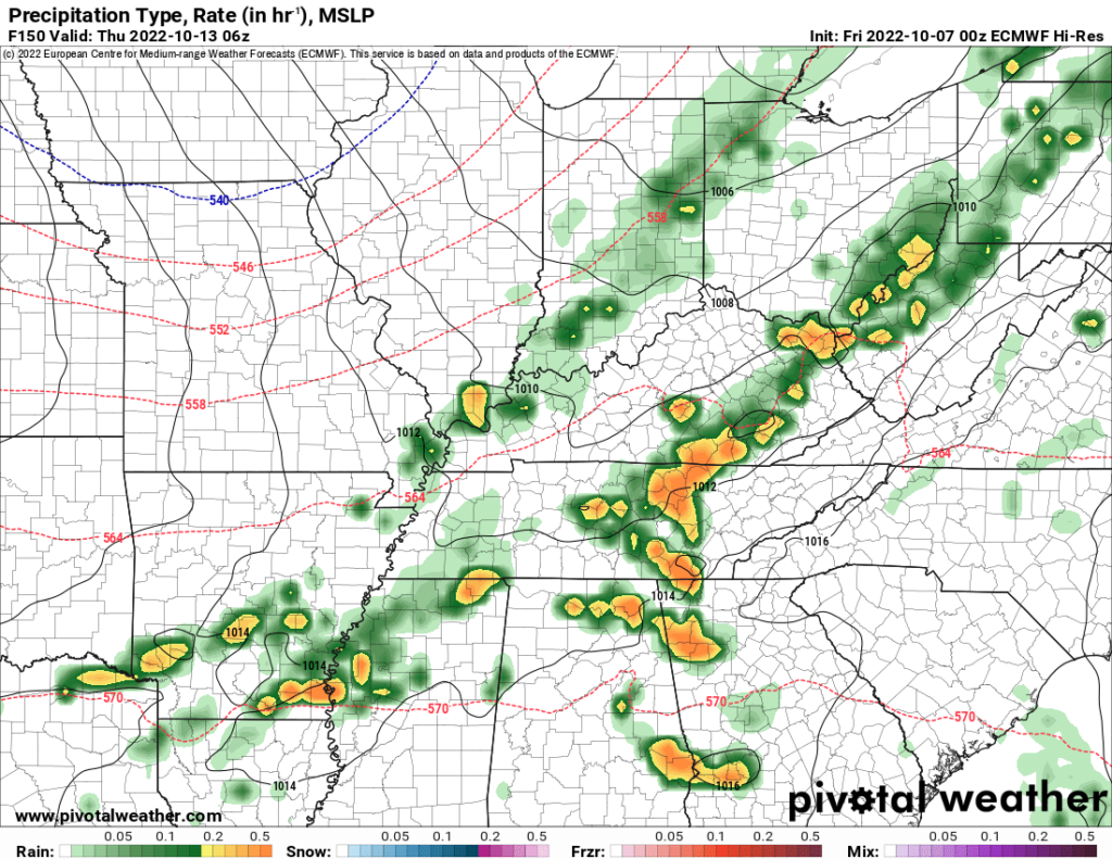
- Next rain chance Wed-Thu next week. Not much, total of 0.3″ or so on average. This is a low confidence forecast.
Quick References:
Weather changes constantly.
Follow @NashSevereWx on Twitter for any changes to this forecast.
Live coverage during tornado and severe thunderstorm warnings.

Look good.
Support the mission.

We are 100% community supported. No ads. No subscription fees. Keep it free for everyone.


Categories: Forecast Blogs (Legacy)
You must be logged in to post a comment.