

I’ve forgotten what it looks like, but it may* rain from above on Wednesday. Yes, maybe, not for sure.
Two models show two different solutions. Sus.
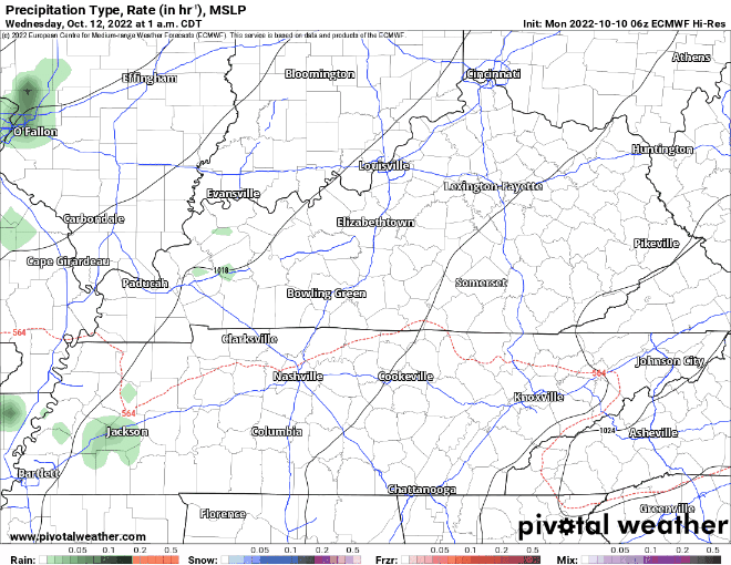
The EURO (below) shows very little, if any. Maybe just enough to get the ground a lil’ wet.
The GFS (below) shows a good soaking rain. It thinks we get anywhere between 0.25″ – 0.5″. Any rain is welcomed.
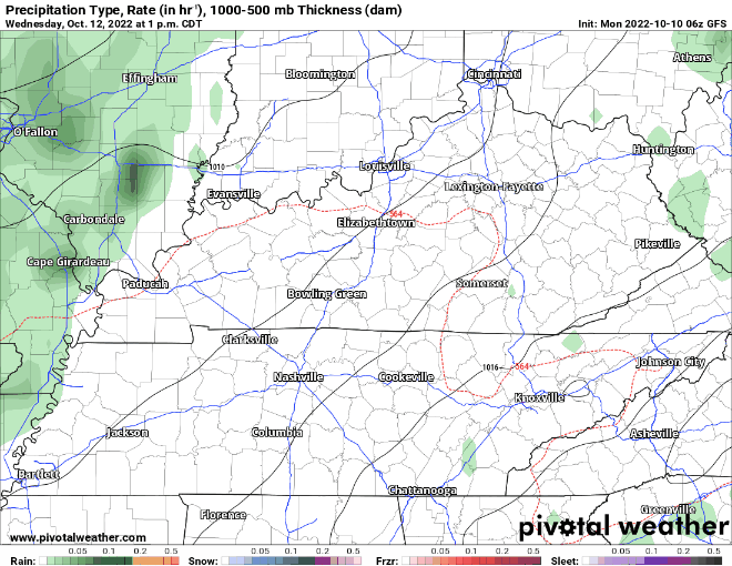
With the GFS solution, the line of rain may come with some damaging straight-line winds, as we have the typical fall high-shear, low-CAPE set up. The Storm Prediction Center has outlooked us for a 5% chance of severe weather within 25 miles. Tornadoes and hail are very unlikely as instability will be fairly low, but eyes are on it.
Which model is right? Different day, same answer.

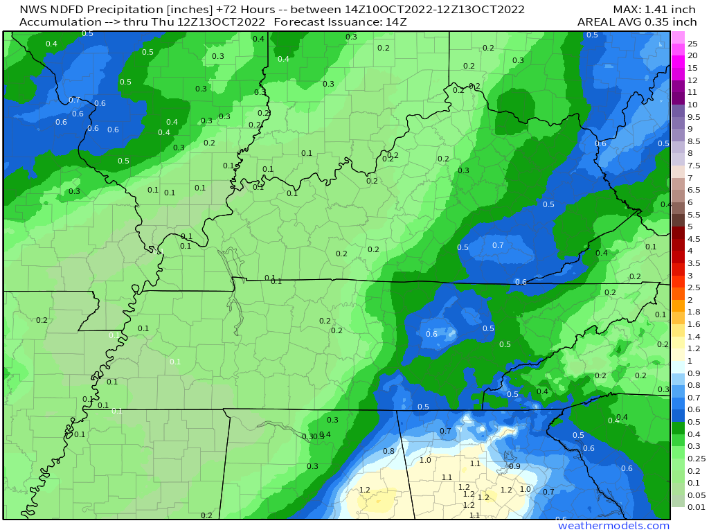
Official forecast for now shows around 0.2″, with a majority of the moisture staying to our south and east.
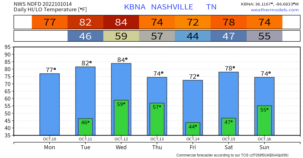
We’ll take what we can get since after Wednesday it looks like we return to a cooler and drier pattern.


Besides temps getting a little too warm on Wednesday, we’ll stay around average for the week.
Quick References:
Weather changes constantly.
Follow @NashSevereWx on Twitter for any changes to this forecast.
Live coverage during tornado and severe thunderstorm warnings.

Look good.
Support the mission.

We are 100% community supported. No ads. No subscription fees. Keep it free for everyone.


Categories: Forecast Blogs (Legacy)
You must be logged in to post a comment.