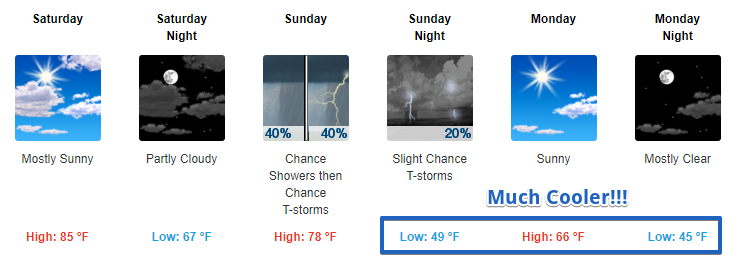
Sunshine Hanging on for a Few More Days
The end of these warm temps is in sight, but these temps want to hold on for just a little bit longer over the next couple of days.
https://giphy.com/gifs/cheezburger-cat-black-and-white-14kybDP9JZvmnu

The end of these warm temps is in sight, but these temps want to hold on for just a little bit longer over the next couple of days.
https://giphy.com/gifs/cheezburger-cat-black-and-white-14kybDP9JZvmnu
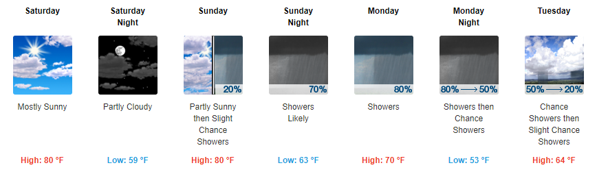
Middle to upper 70s for afternoon temperatures seem to be a good bet heading into the homestretch. A gradual increase in cloud cover will be noted Friday but especially Saturday ahead of the next weather maker.
Sunshine continues now through Saturday. Highs will climb a little bit each day starting in the low 70s today and reaching the low 80s by Saturday. Expect for temps to continue to fall into the mid 40s tonight and tomorrow night, so you will still want a jacket in the AMs following.
View from “The Gulch” Camera At 11:20AM – Click here for a LIVE view
No clouds in sight this morning over Downtown Nashville. A few high cirrus are on their way from Missouri for later this afternoon, though.
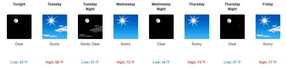
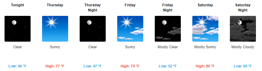
Sunshine is here to stay for the remainder of the week, but don’t expect too much of a warm up over the next two days. Highs will stay in the mid to upper 60s today and tomorrow. Overnight temps will fall into the low 40s.
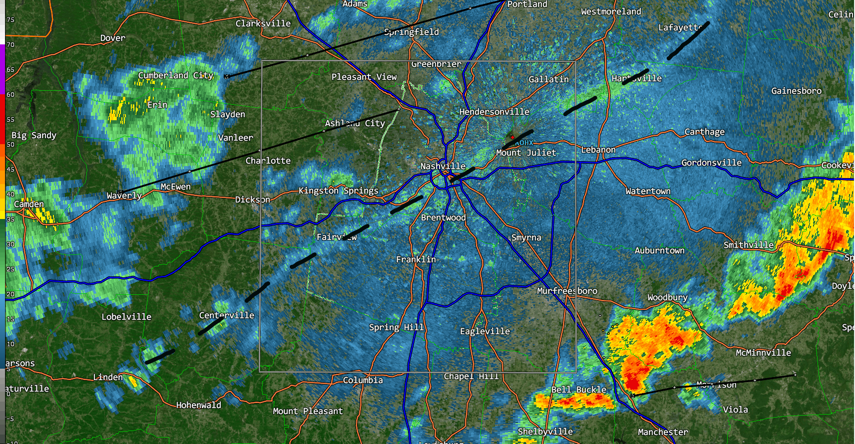
The cold front showed up around 3:30 PM. You could see the cooler northwest wind arrive on radar:
It has come with a breeze.
About 20 mins ago on Old Hickory Lake Wilson Cty pic.twitter.com/tuDXZPTwdW
Before 8 AM, warm, humid air was streaming in from the south, with a cold front pushing rain toward us.
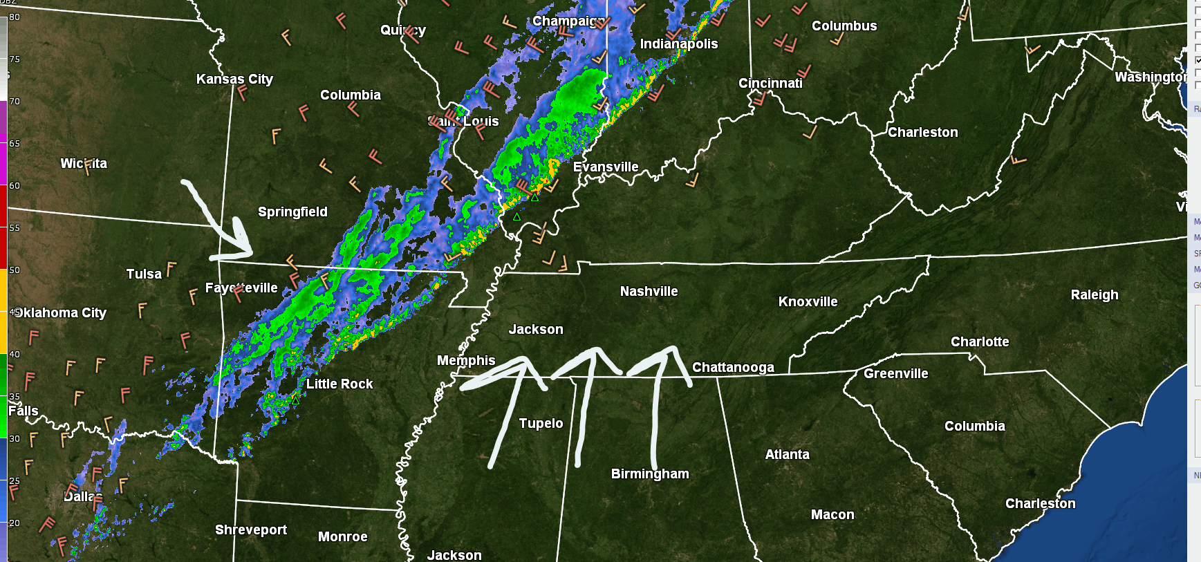
Winds will pick up (13 MPH or so), then that rain will be here this afternoon.
The HRRR model thinks a main “line” of rain, briefly heavy, will show up between noon and 1:30 PM or so, followed by maybe another light passing shower before dark.
GOES 16 Sunrise Loop
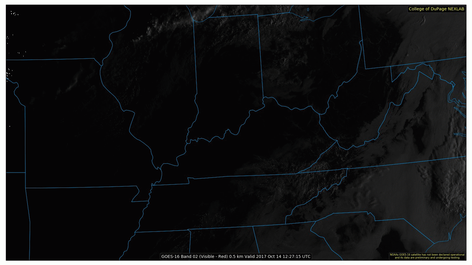
Fog is visible from space this morning over Middle Tennessee, but it isn’t widespread. By 11AM, it should all be mixed out.
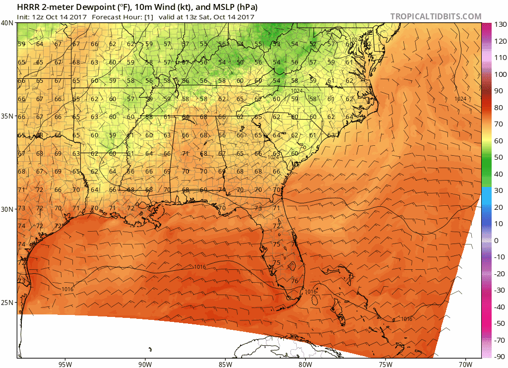
HRRR Model Dew Points Through Sunday 1AM
Into tonight, you may want a light jacket for any outdoor sporting events as temps will fall into the upper-60s by 7 PM and the mid-60s by 9 PM.
Like this morning, patchy fog is possible overnight tonight into early tomorrow morning.
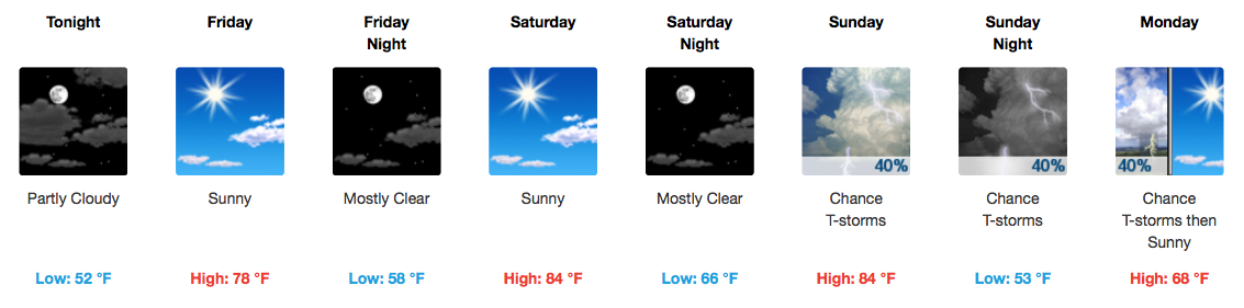
NOTE: Barring a partly/mostly clear nighttime, fog could develop and be around for tomorrow’s morning commute.
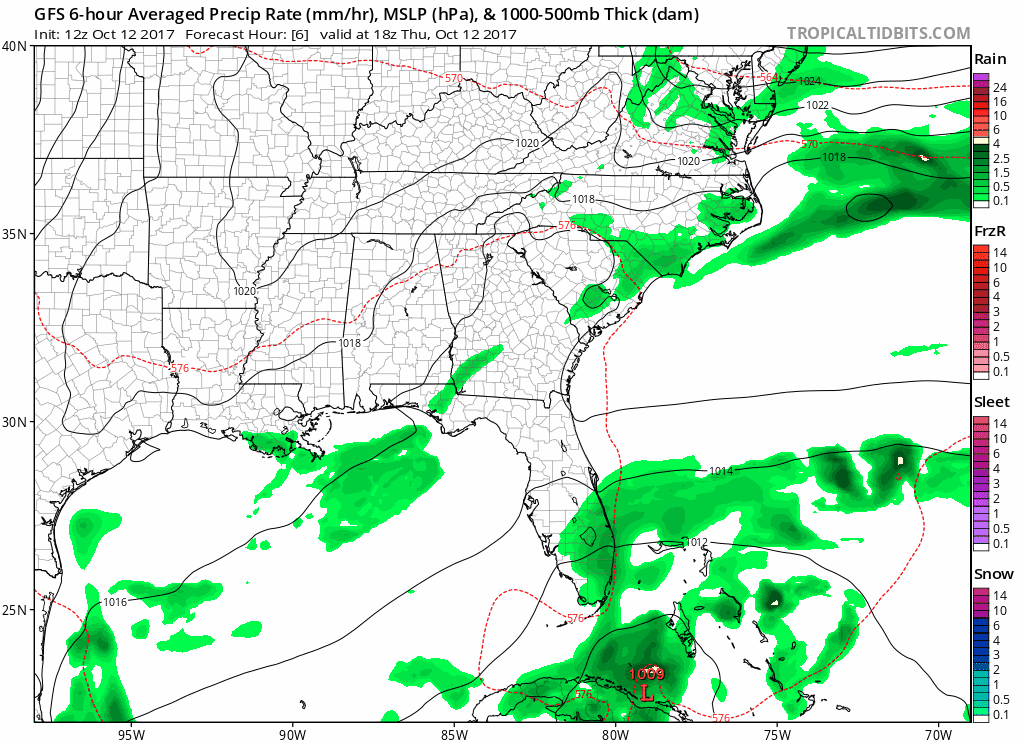
GFS Model Loop through Sunday Morning
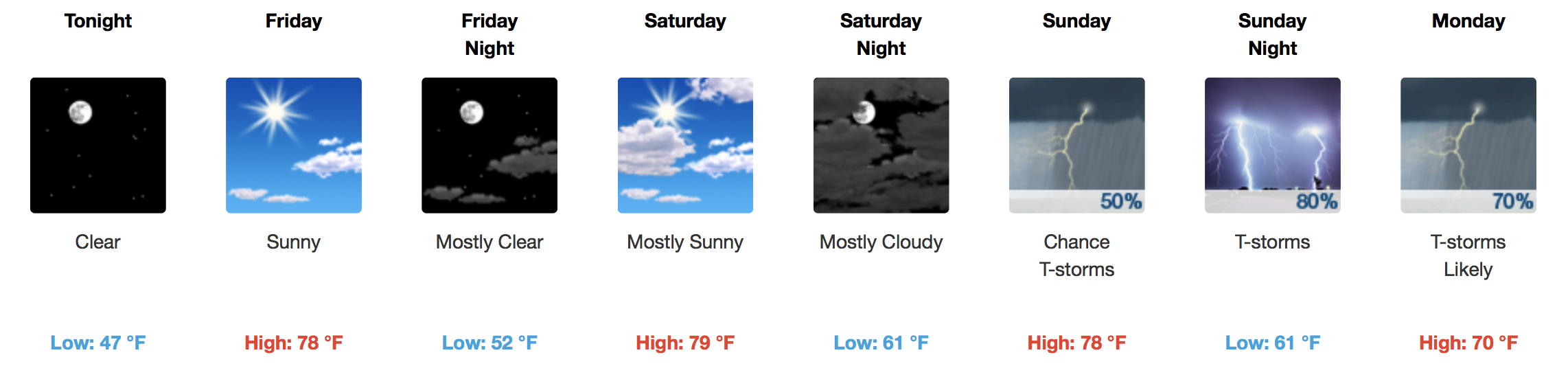
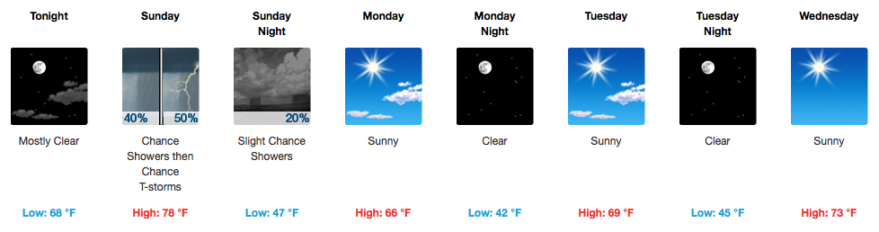
We will remain dry through Saturday as high pressure continues to hold in place through then. Flow will become southerly on Saturday, so expect temperatures about 10-12 degrees warmer than they are today (middle 80s).
You must be logged in to post a comment.