
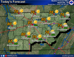
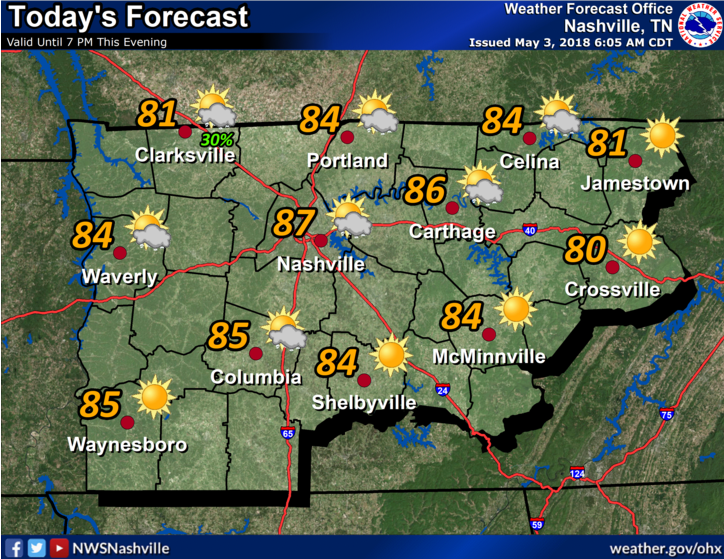
The models think today will be sun-filled, less humid, with a high temperature at 81º and falling dew points in the 50º range.
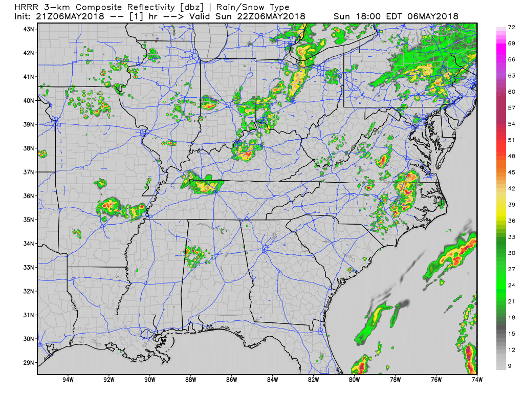
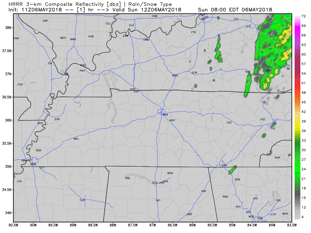
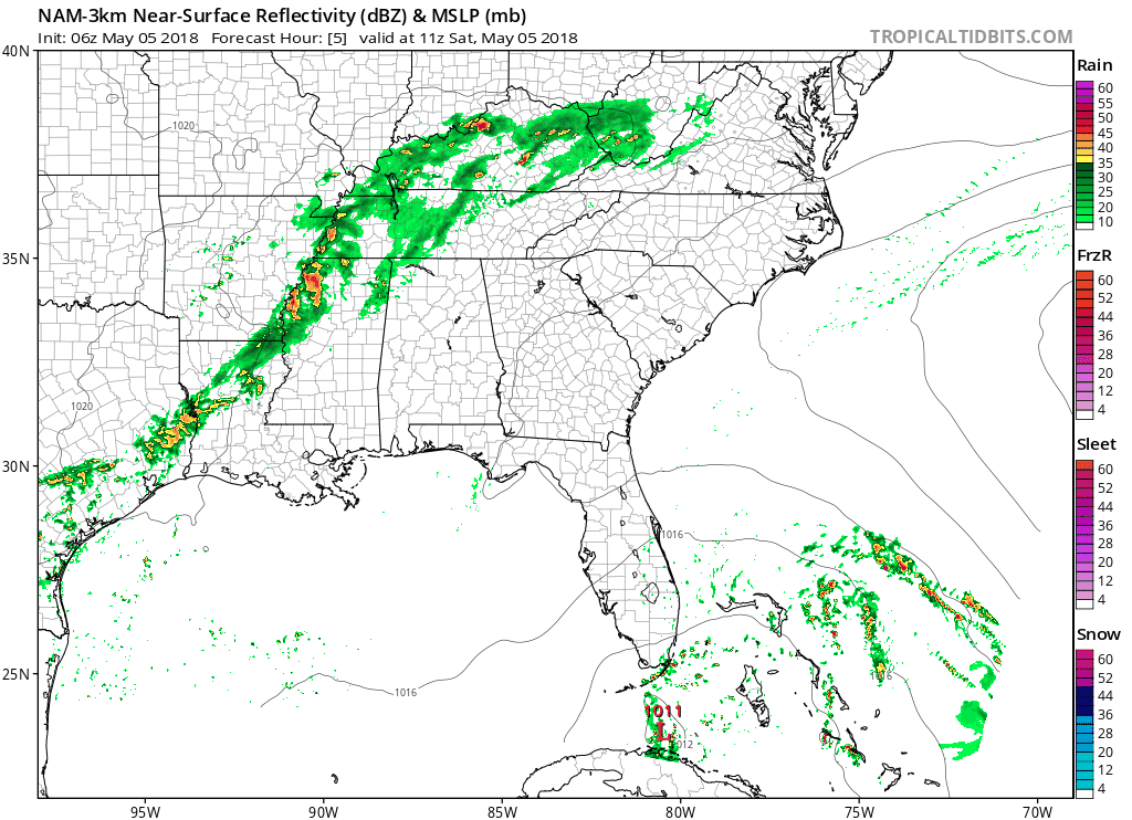
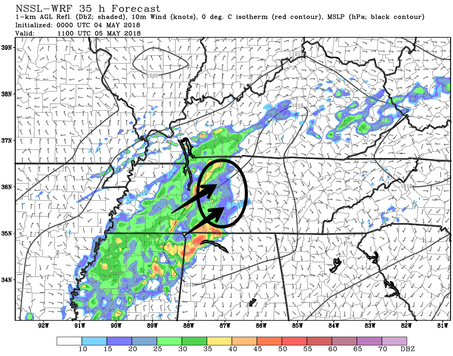
However, our atmosphere remains the same as it was yesterday. We remain on the back side of the system that brought us gusty winds, heavy rain, lightning, and small hail yesterday and last night. This afternoon and tonight, most storm ingredients will be there. Plenty of instability. Dry air aloft and “cold pools” sitting atop us, both help storm development.


You must be logged in to post a comment.