
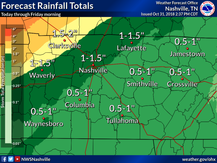
This morning my friend Melissa asked “when do I need to pay attention to this?”
Tonight, Melissa. Tonight.
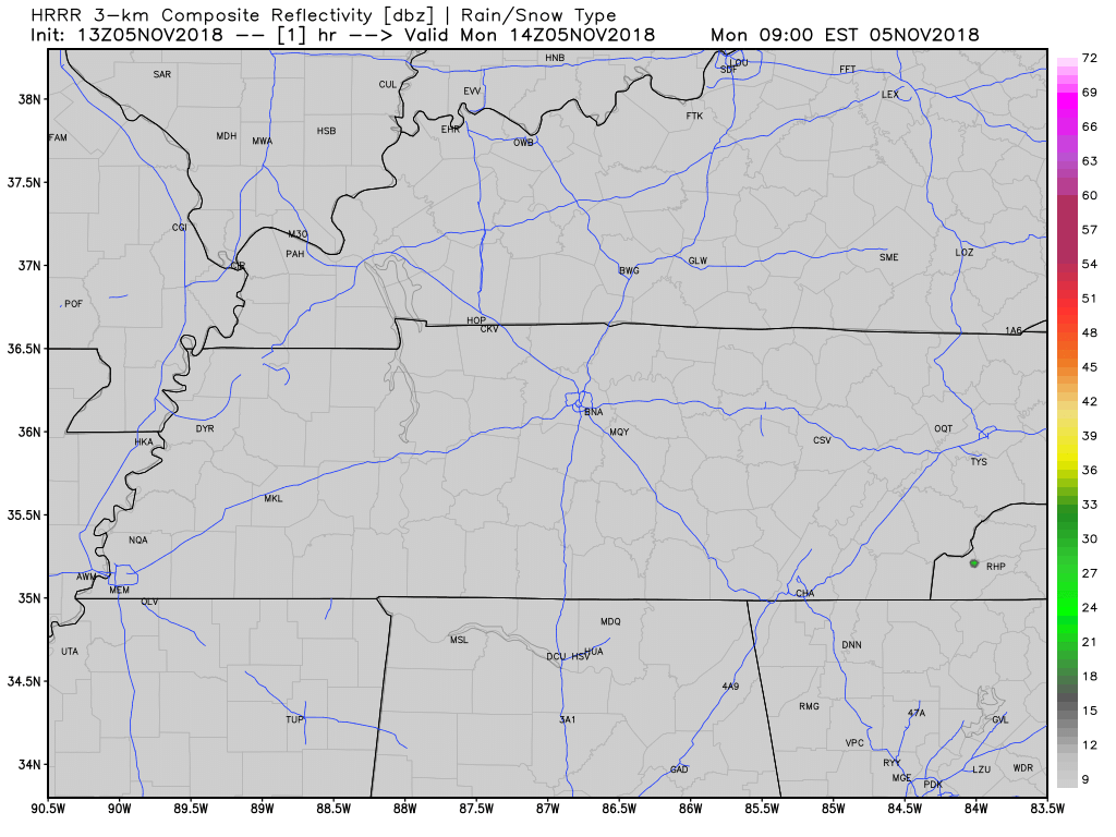
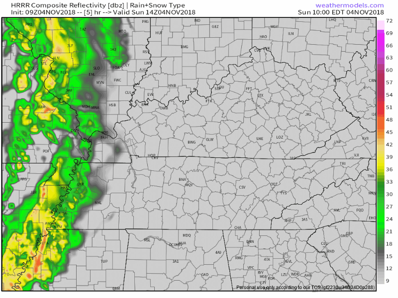
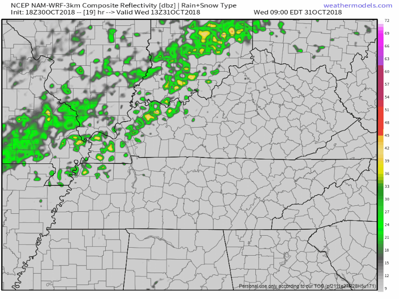
A line of strong to severe thunderstorms will form and move from northwest to southeast across Middle Tennessee tonight. All models show this. Below is one, the HRRR, one of my favorite weather models:


You must be logged in to post a comment.