Possible Record Heat
Yesterday we tied the record for the highest recorded temperature on October 5.
We tied the October 5 record high today, 92° set in 1954.
— NashSevereWx (@NashSevereWx) October 5, 2018

Yesterday we tied the record for the highest recorded temperature on October 5.
We tied the October 5 record high today, 92° set in 1954.
— NashSevereWx (@NashSevereWx) October 5, 2018
Imagine a typical summer day. Isolated showers and storms, hot, humid, etc. Now put that in October and voilà, you have today!
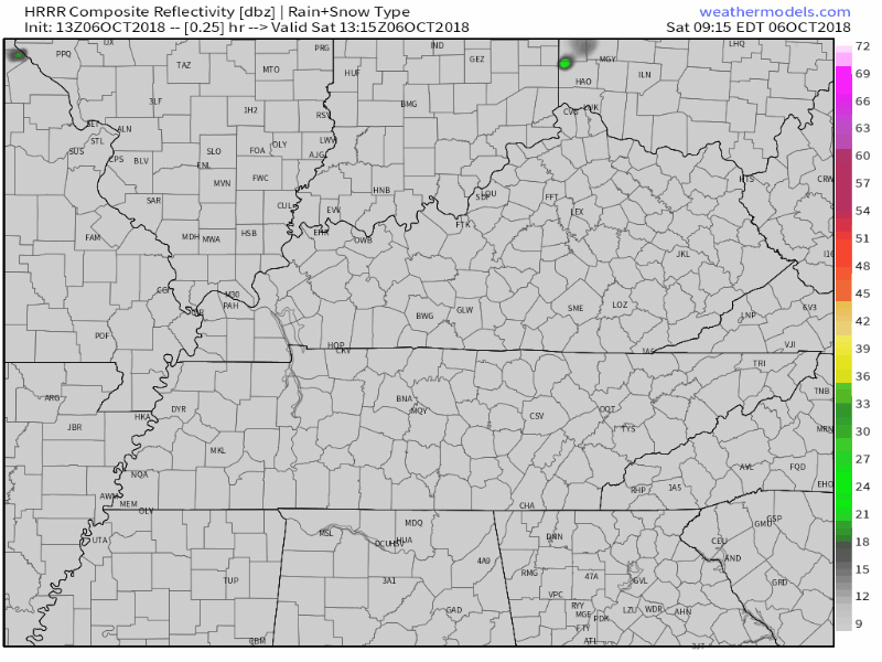
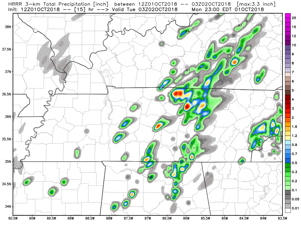
The HRRR model shows isolated showers and storms will be present this afternoon. Keep an umbrella and/or a rain jacket handy just in case you are one of the few who get stuck under an isolated shower this afternoon.
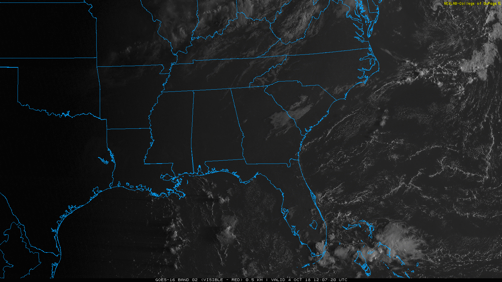
Satellite shows a cloud making boundary to our northwest. High pressure will keep it from pushing through our area. A few clouds could be thrown our way, but today we’ll be mostly cloud-free.

Hot, humid, ugh. This should be fall, not summer!
High temperatures will be several degrees warmer today when compared to yesterday. We are looking at a high of 88º with dewpoints hovering right at 70º. Keep the water handy!
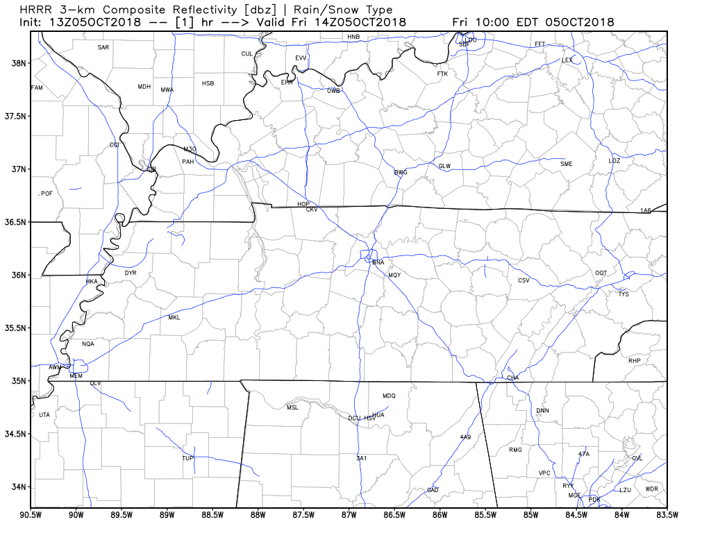
We’ve got a few showers hanging out just N of I-40, drifting east. They’re part of a weak shortwave trough. We could see more showers and a few storms later this morning and afternoon with daytime heating.

Someone should tell October it’s October and kick out this humidity.
Dry weather ends today because the upper high dominating our atmosphere has shifted south. Rain is possible late this morning into the afternoon.

Summertime quality sticky and near-uncomfortable humidity returns this week.
High temps in the 80°s, upper 80°s for the last half of the week.
But will we still get cool, crisp mornings?

More humidity, more clouds, so with extra shade high only 83°. Pop up rain with maybe a thunderstorm tomorrow afternoon will scatter across Middle Tennessee. Here's the HRRR model at 3 PM, 4 PM, 5 PM, and 6 PM. Similar rain chances Tuesday afternoon. pic.twitter.com/fs8EMqMx6f

From NWS-Nashville:
A warm, above-average weather pattern will continue through next weekend. High temperatures in the low to mid 80s and overnight lows ranging from the low to upper 60s will be the result of predominant high pressure and southerly winds overhead. October looks to start warm for all and soggy for some.

Today was pretty close to perfect. Hope you got to spend some time outside! Tonight, we’ll dip down to 59°.
Warm, moist air will arrive tomorrow as our winds shift to the south (see above). Afternoon temps in the mid 80s, dew points returning to the mid/upper 60s. We’ll be noticeably warmer and stickier, but it won’t feel like summer has returned.

Seasonable, cooler temperatures have arrived in middle Tennessee, FINALLY! We are looking at a high of 77º in the city as clouds being to clear out and the additional sun is introduced into the forecast.
You must be logged in to post a comment.