
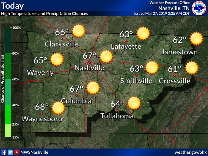
Today
Today is shaping up to be another picture-perfect day in Nashville with the greenery beginning to bloom and the yellow-ery collecting on our cars.
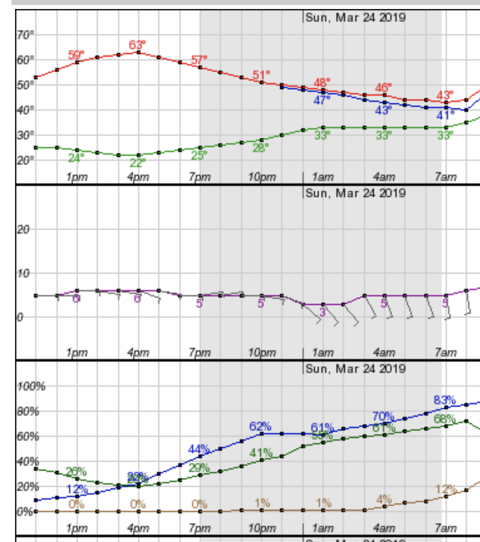
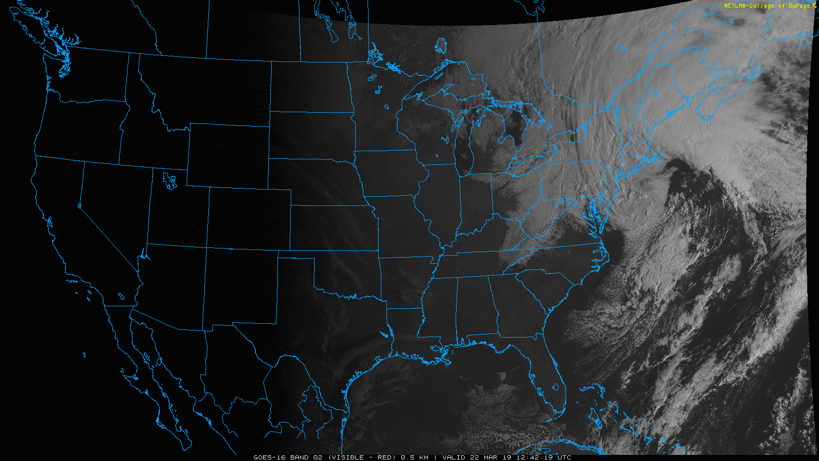
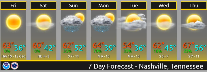
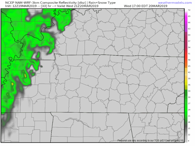
No issues today weather wise; expect a high in the middle to upper 60s. Cloud cover will not be an issue either. GFS shows us clear for the rest of the day:


You must be logged in to post a comment.