
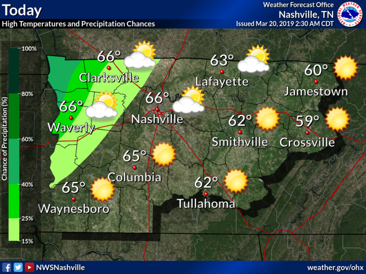
First Day of Spring!
66º as our high temperature for the first day of Spring? I’ll take it!
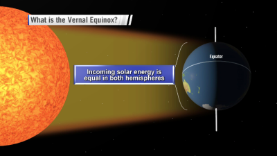
Yes, today is the first day of Spring. That means Earth’s will be tilted at 0º, therefore everyone will have around 12 hours of sunlight. It also means our daylight is going to get longer, faster.
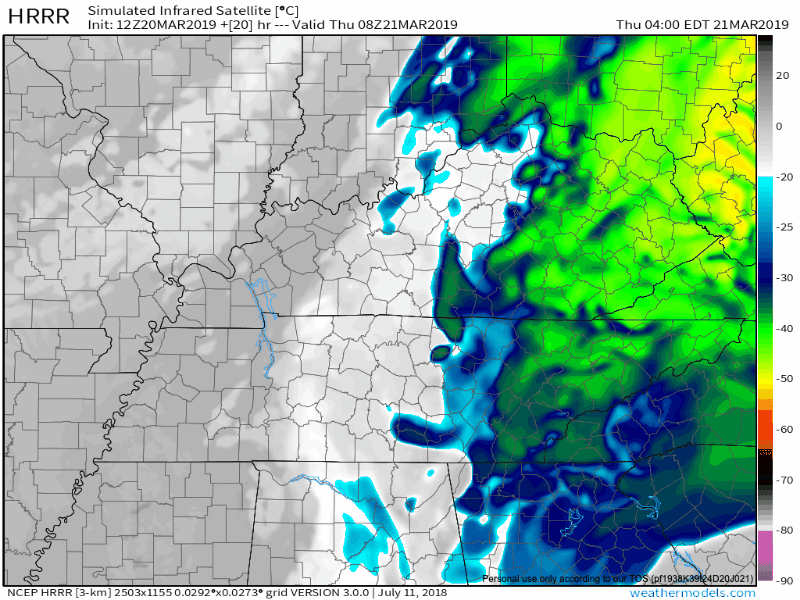
Once the sun sets tonight, we will have a chance for some isolated showers in the area as a weak cold front blows through. Nothing major. The HRRR run below thinks our best chance is from 2 AM to sunrise tomorrow.
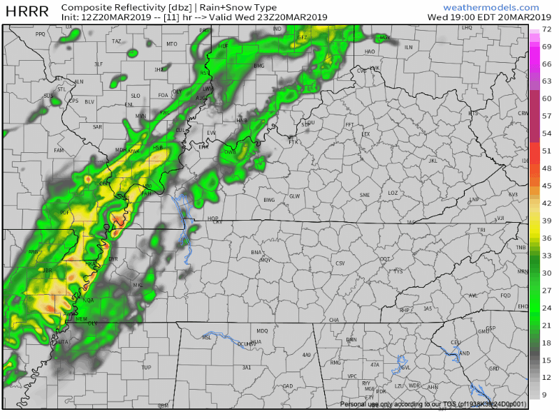
It’s possible you may need the umbrella as you head out the door tomorrow, however, every last drop of moisture will be outta here by 10 AM at the latest.
Cooler Thursday
Our high temperature is only expected to make it into the middle 50ºs on Thursday. However, the clouds should be exiting in a timely fashion to give us some sun during the day.
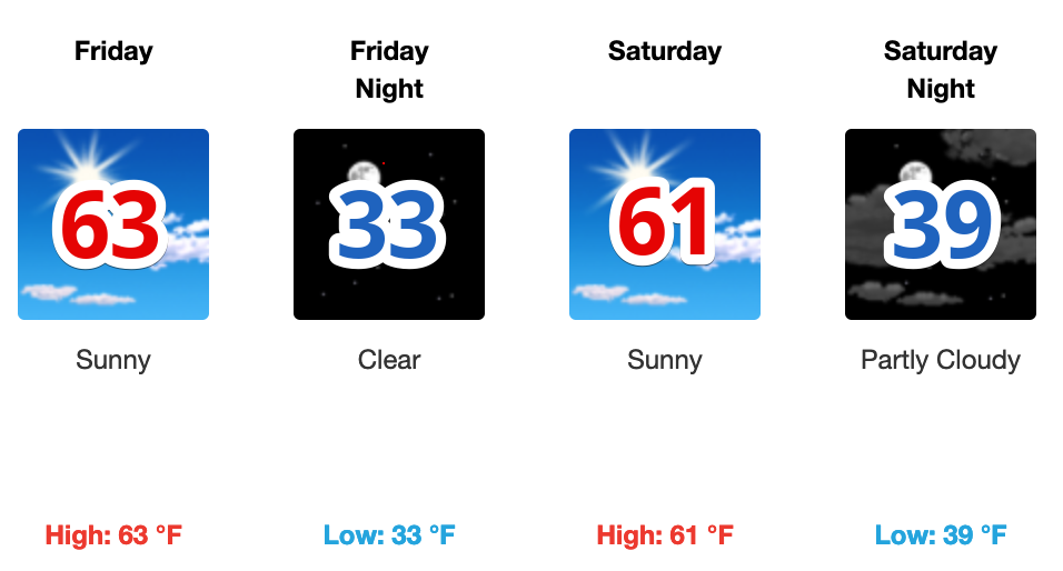
Dry Friday and Saturday
Forecast models have been trending a little cooler on Friday and Saturday. Expect the highs to barely get into the 60s with overnight lows in the 30s. Both days will be rain-free, and cloud-free for the most part.
Rain Chances Next Week
Our next rain chance will come late Sunday into Monday. NWS Nashville had this to say about it this morning:
Models still aren’t in great agreement regarding this system’s evolution, but Sunday night and Monday still look like the main target times for rain. Forecast soundings are still suggesting a few rumbles of thunder Monday, mainly due to the very cold air aloft, but with very little shear, any thunderstorms should be scattered at best.
We’ll be updating this forecast as the rain approaches! Follow us on Twitter, @NashSevereWx.

Categories: Forecast Blogs (Legacy)
You must be logged in to post a comment.