Rain/Storms Continue, Flash Flood Emergency to Our West

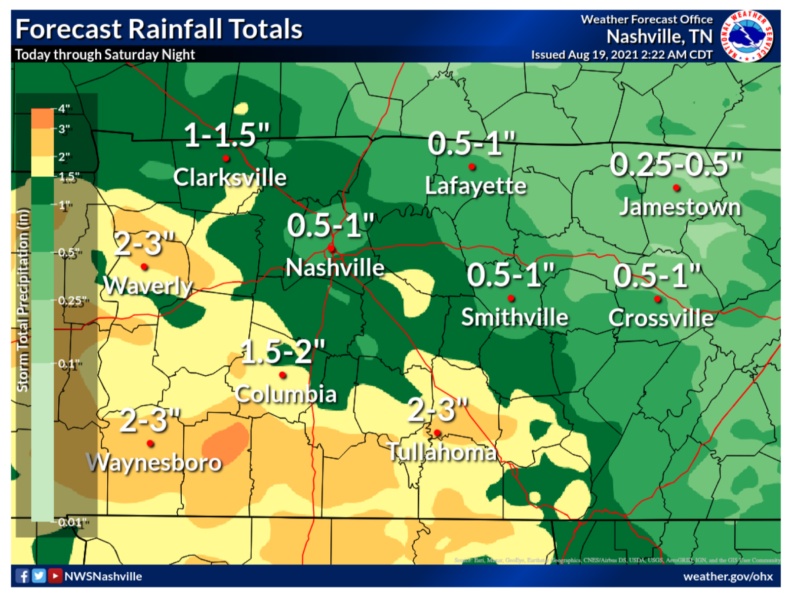
Editor’s Note: Flash Floods. We’ve been through them. They’re a painful reminder of how quickly weather can take away what has taken years to make…homes, businesses and beautiful landscapes. Today, our friends just to our west are dealing with catastrophic flooding with well over 11 inches of rain, maybe much more, falling just this morning. The beautiful Piney River is roaring at 31.8 ft at the time of this writing, a staggering 7.8 ft above MAJOR flood stage. If you have friends in Humphreys, Hickman, Dickson or Houston Counties, please check on them by phone/text if you’re able. They’re going to need much to rebuild what water has taken away today. read more

Lightning Storms With Straight-Line Winds Possible Today/Tonight

The Storm Prediction Center believes there’s a 5% chance you will see damaging straight-line wind within 25 miles of you today and tonight. While the threat is low, it is not zero. Two of our communities have seen the affects of microbursts recently, Oak Hill and Nolensville. Will we see another one today? We don’t know. But, the chance is there and worth noting, especially if your plans include being outdoors. read more

“Cooler” Temps in Exchange for Some Rain + Storms

Fog this morning mixed out fairly quick. Here comes another day of hit or miss showers/storms and a little less heat than the past few days.

Similar to yesterday, storms should start popping up sometime in afternoon, then slowly start to dissipate by sunset. It is entirely possible you don’t get any rain today, but if you do, a storm could contain some heavy rain, gusty winds, and lightning. A storm or two could contain microburst winds, similar to what parts of Nolensville saw yesterday. Microburst winds cause damage to low-end tornadoes. They are can be difficult to warn on because they occur between radar scans. No organized severe weather or tornadoes are expected today, or the next few days. read more

Heat Advisory Continues Today; “Cooler” Temps Ahead

A heat advisory is still in effect for our area today 11 AM – 8 PM CDT. This portion of the blog will read similar to yesterday’s, but heat safety is important.

Heat indicies from 100 to 110 degrees are possible today. The past couple days have been miserable, we know. The NWS says today will be the “miserablest”. If you have to be outside in this heat, staying hydrated, shade, and air conditioning are key. A great graphic was included in yesterday’s blog about signs of heat exhaustion and heat stroke. It is included again below if you didn’t have the chance to glance over it. read more