

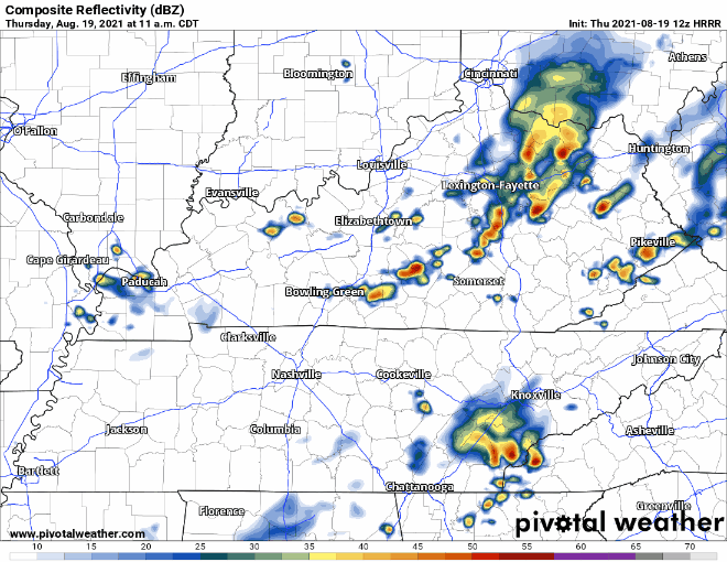
Storms don’t reach our area again until 1-2pm. These won’t be as widespread as yesterday. Only threats with this batch is lightning and wind gusts. No severe weather is expected. Scattered storms continue into early Friday morning, see HRRR below.
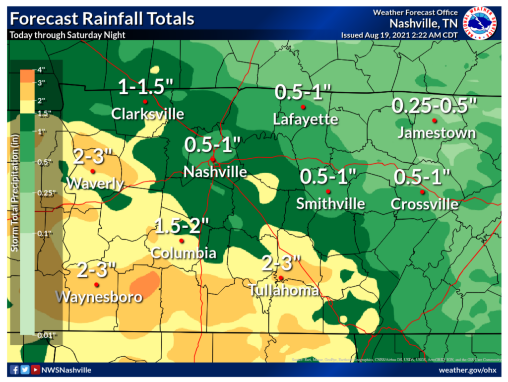
The risk for flash flooding remains today considering now much rain some of our area got yesterday. Davidson and Williamson counties is on track to get another 0.5-1.5″ of rain by Saturday night, see below. Southern Williamson co. and urban areas have a higher chance of flash flooding but no major river flooding is expected.
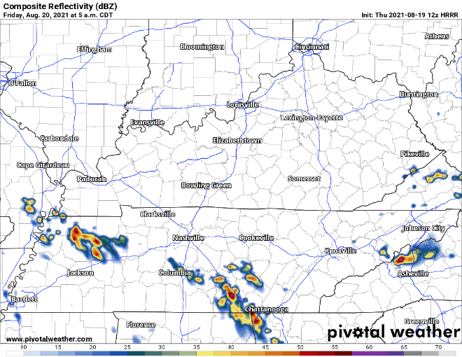
Friday looks pretty yucky too. Scattered storms linger from Thursday night and continue all through the day. No severe weather is expected with Friday’s storms but the same threats apply, lightning and wind gusts. At the end of the HRRR loop below, a line of storms comes in from the west. Storms are coming into our area early Saturday morning thanks to that guy. Stay tuned for updates on ETA’s as HRRR updates.
Almost the Weekend!!
Euro model covers Saturday and has scattered storms from the morning util evening. Showers come to a halt by noon on Sunday ending our wet period.
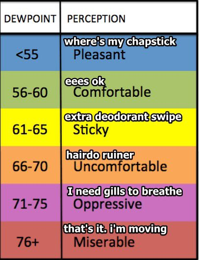
Temps are below normal right now, but start to rise and will hit 90 degF by Sunday. Dew points stay in the low-mid 70’s (YUCK) until the start of next week where they will sit around 70 (still YUCK). The start of next week will be a nice change, warmer and drier!
Categories: Forecast Blogs (Legacy)
You must be logged in to post a comment.