
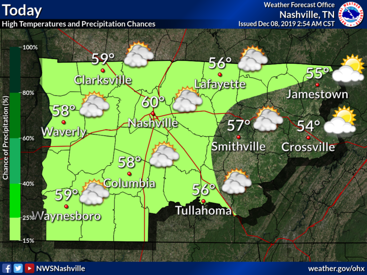
Sunday
Meh.

High temperature: 60°.
Skies: starting great, getting cloudy later.
Winds: 5-15 MPH with gusts as high as 20 MPH.
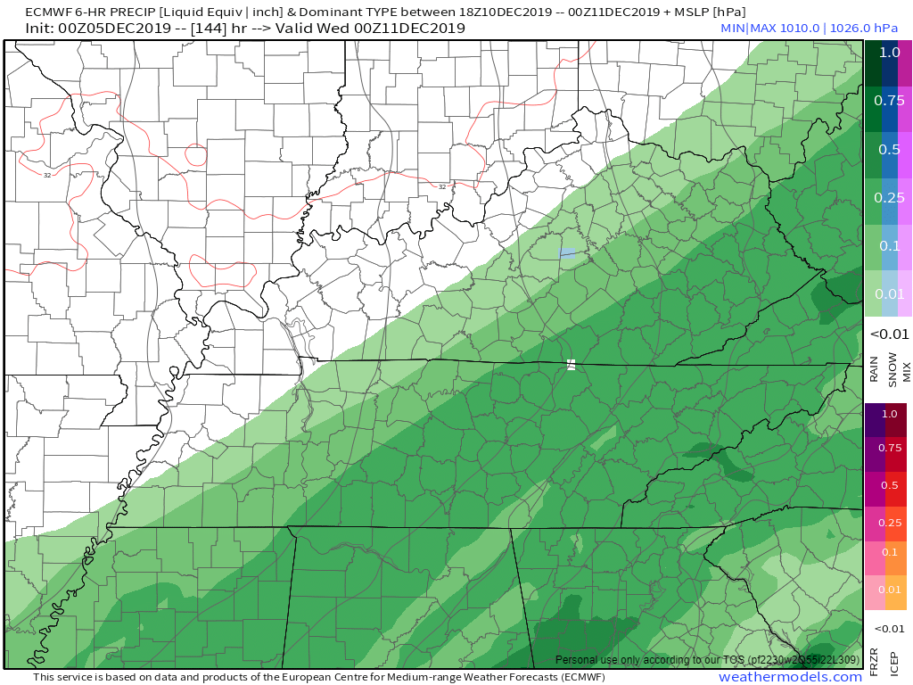
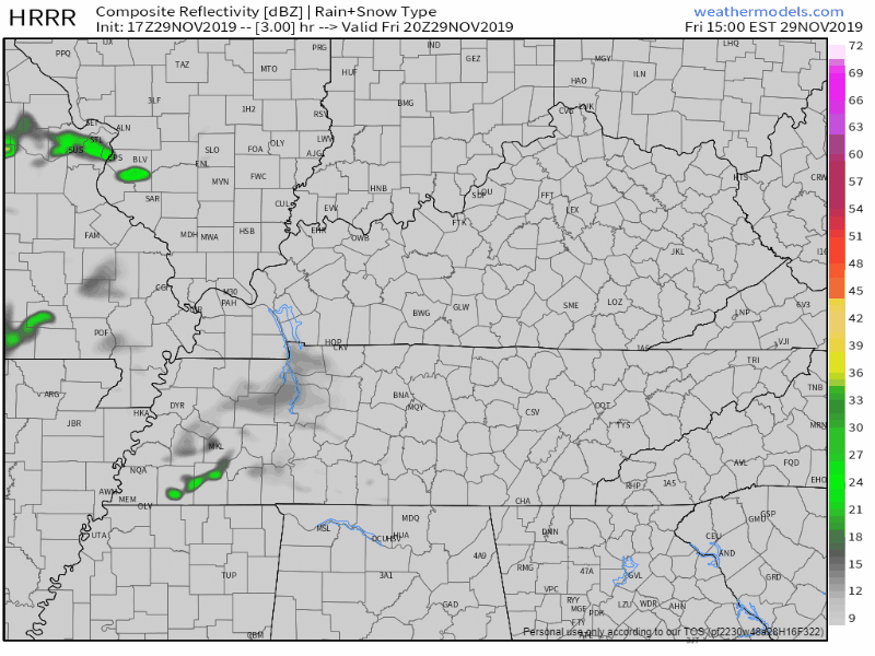
Showers possible very late Sunday night, light and brief, probably while most sleep, maybe lingering into the AM rush hour. So thinks the NAM3 model:


You must be logged in to post a comment.