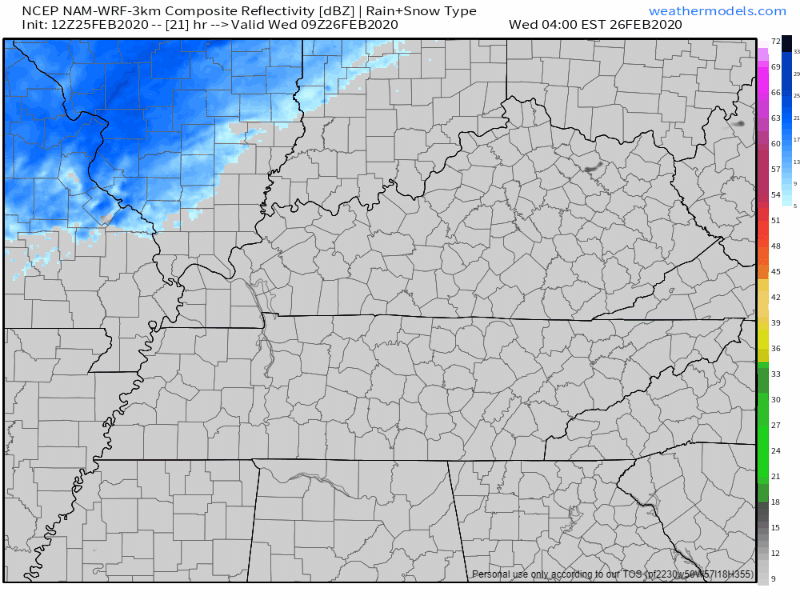
Category: Featured Blog

Rain Begins Friday, Very Windy 48 Hours Ahead; Heaviest Rain/Storms (Some Possibly Severe) Saturday

Warm & Windy (62°) Thursday

15 to 20 MPH winds with gusts as high as 30 MPH. Secure hats and lightweight aunts.

It’ll be windy Friday and especially Saturday.

Rain Begins Friday, Storms (Strong/Severe Possible) Saturday

WHAT THE MODELS SAY

The GFS model shows light, scattered showers late Friday, with the heaviest rain and storms sweeping through Saturday afternoon: read more

Heavy Rain Friday – Saturday, Storms Saturday May Be Severe. ETAs, Hazards, Probabilities.

Today is the Best Day of This Forecast

Windy, Afternoon Up To 63° Thursday

Gusts up to 30 mph possible.

This warm in January? Something is up.

What’s up is a cold front coming through late Saturday night. Watch the cold air race in at the end of the Euro model below:

Before the cold front: rain Friday, heavy rain and storms – possibly severe – Saturday. read more

Sun Today, Rain Overnight, Bigger Rain Possible This Weekend

Today

Plenty of sun today with a high temp around 51°. Not cold, but not hot.

Good idea Olaf.

Quick Shot of Rain Tonight

A low pressure system is getting its act together today down to our SW. This will move overhead and off to the NE overnight tonight, bringing a quarter inch or so of rain with it. Shear will be decent, but instability will be lacking, so we’re not expecting any snarky storms. read more

Heavy Rain Today and Tomorrow; Flood Watch

Rain, Flooding Possible Thursday thru Friday

Rain is already moving into the area this Thursday morning. It will last through Friday.

The HRRR model shows rain all of Thursday, before dispersing on Friday:

The NAM3 model agrees:

Heavier rain should move out by Friday afternoon (as of right now), and the rest should leave by Friday night, though we could see some lighter lingering showers into Saturday. read more