
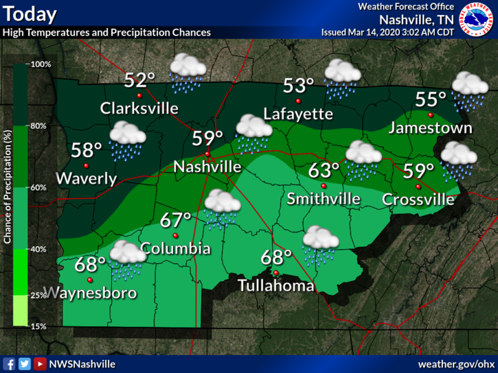
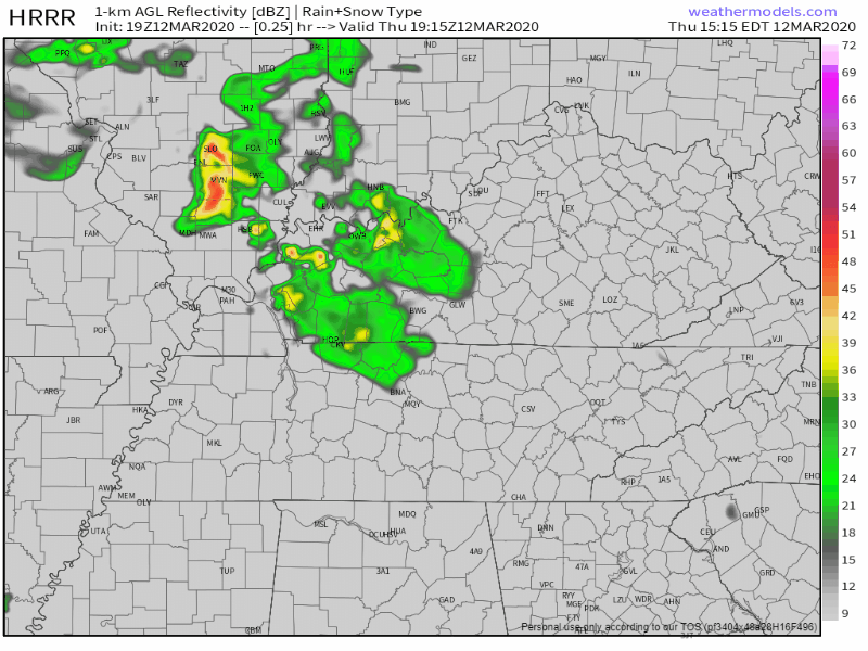
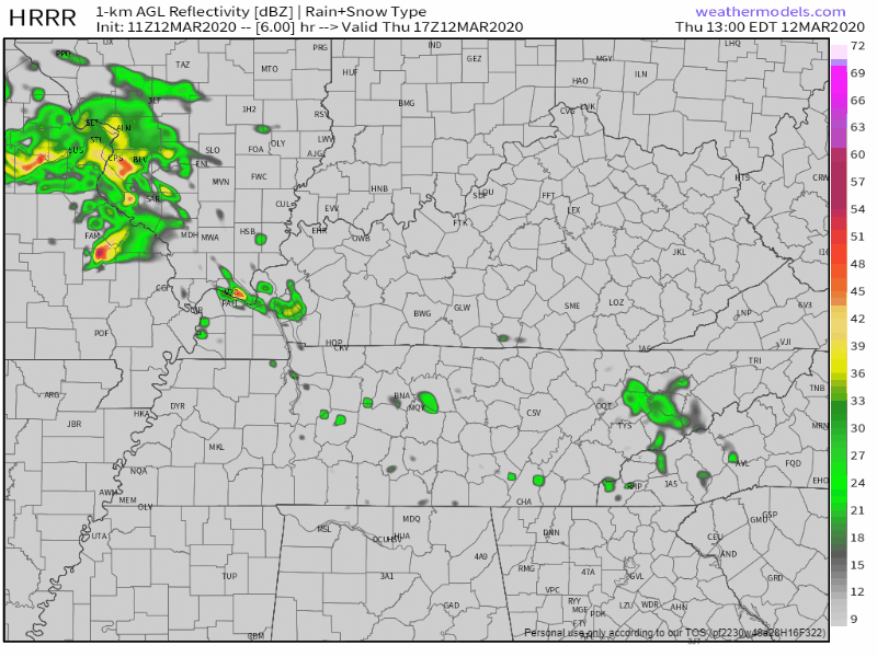
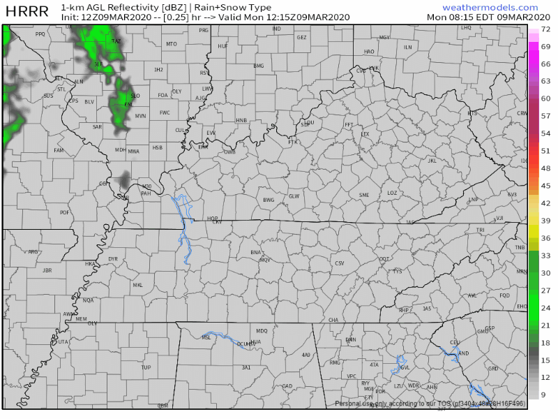
Off and On Rain Today
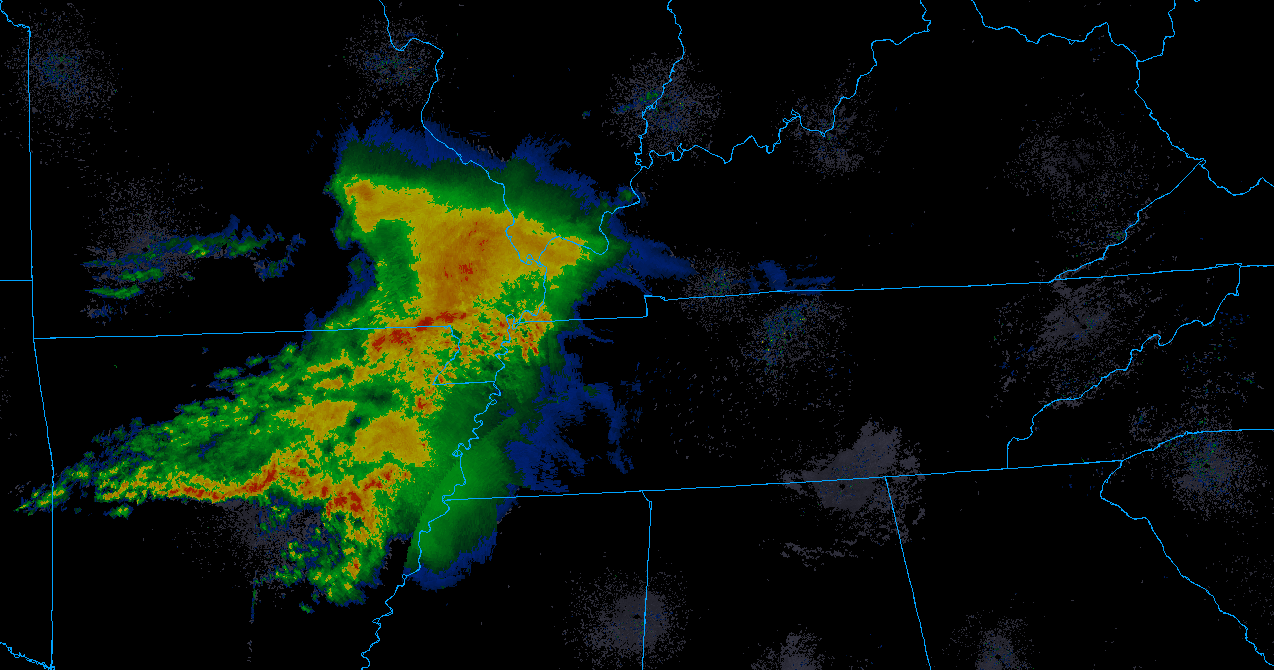
At 9:07 AM a little rain was coming in.
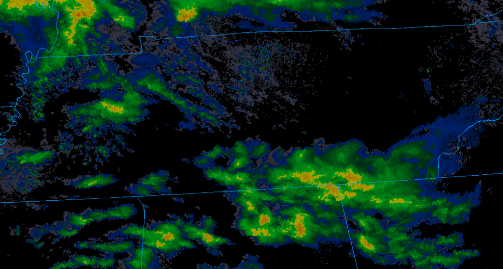
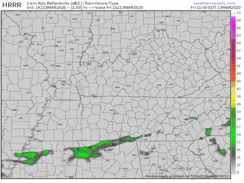
Off and on rain during the day. Rain will be scattered all across Middle Tennessee. Tonight, around 8 PM (give or take a few hours), rain turns on.
A half inch to three-quarters of an inch of rain total. No severe weather.

You must be logged in to post a comment.