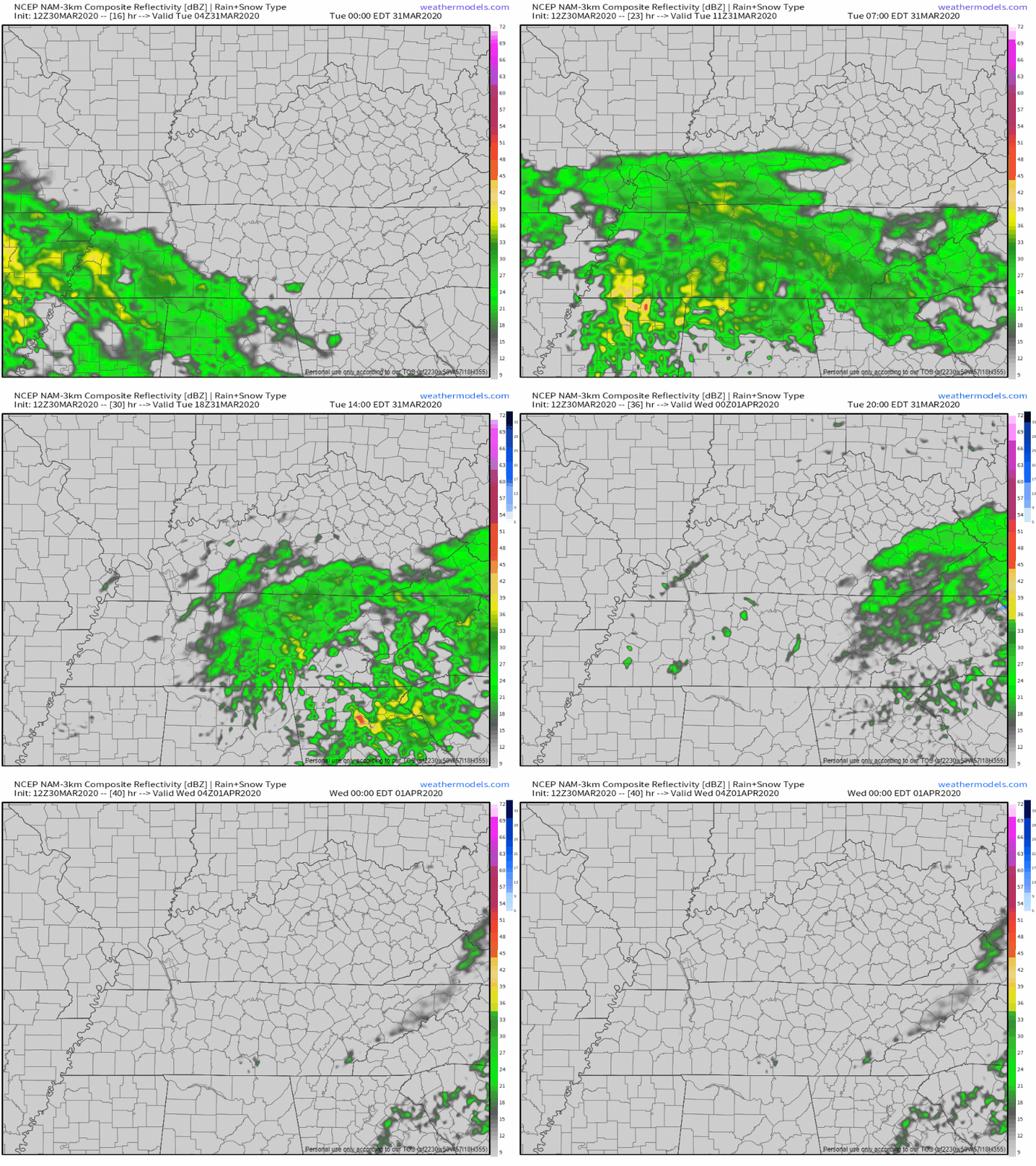
Rain likely Monday night, ETA sometime after dark, lasting through the overnight hours. 0.26″ total, a few showers may linger into daylight Tuesday but if that happens, it won’t be much more additional rain.
At 9:07 AM a little rain was coming in.

Off and on rain during the day. Rain will be scattered all across Middle Tennessee. Tonight, around 8 PM (give or take a few hours), rain turns on.
A half inch to three-quarters of an inch of rain total. No severe weather.
Pretty quiet this afternoon. Most of us will see at least a little bit of sun this afternoon with some breaks in the clouds. The forecast discussion from the NWS-Nashville puts it perfect:
“Holy cow. Is that the sun?”
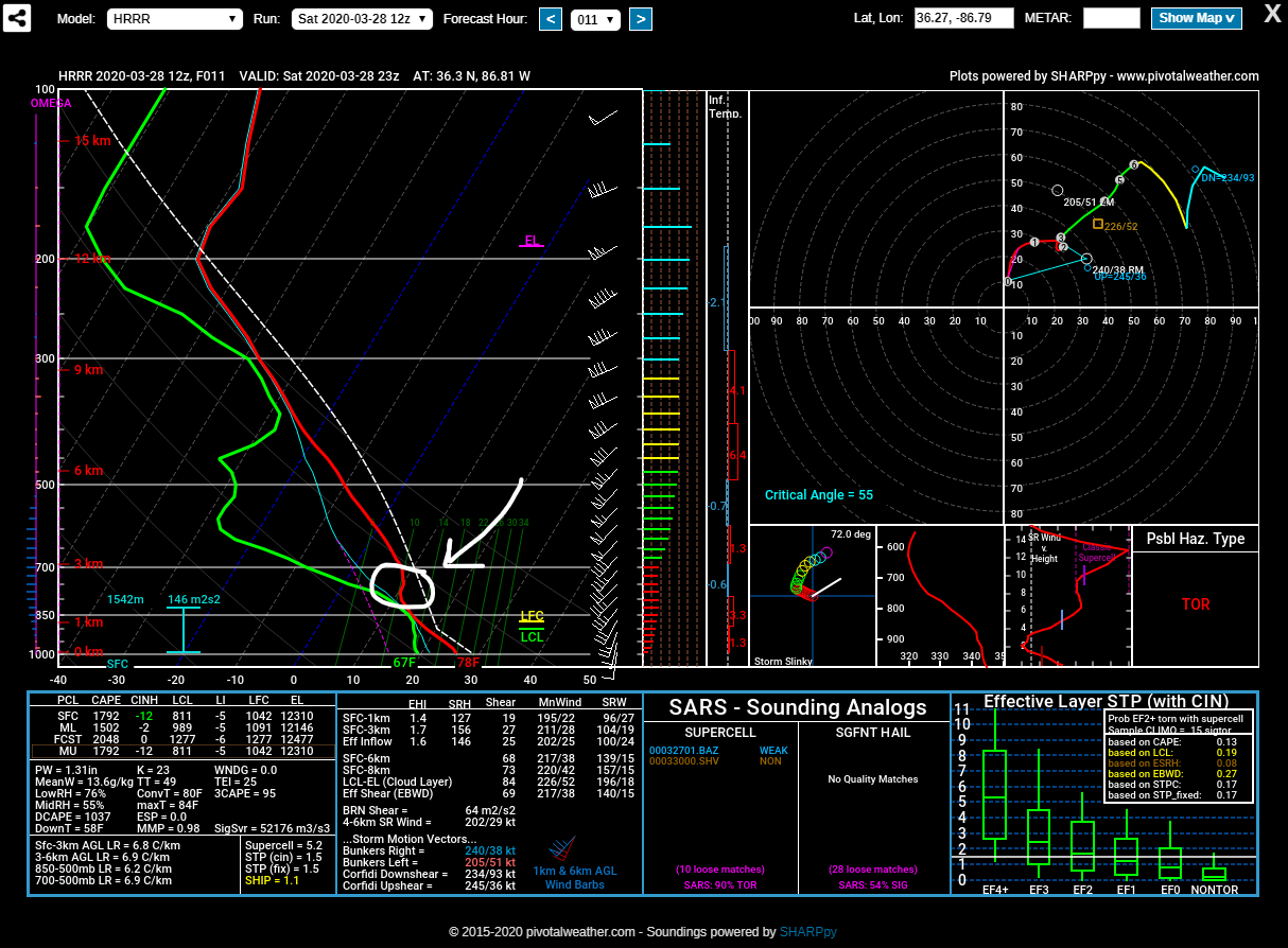
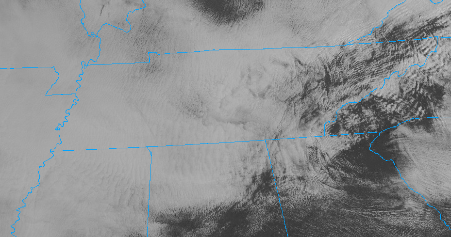
We dodged two rounds of storms yesterday. The “cap” (a layer of warm air aloft) put a lid on our volatile atmosphere. Prevented more bad stuff. WTG cap.
The cap works like a kink in a hose. You can have the water flowing, but kink that hose and nothing comes out.
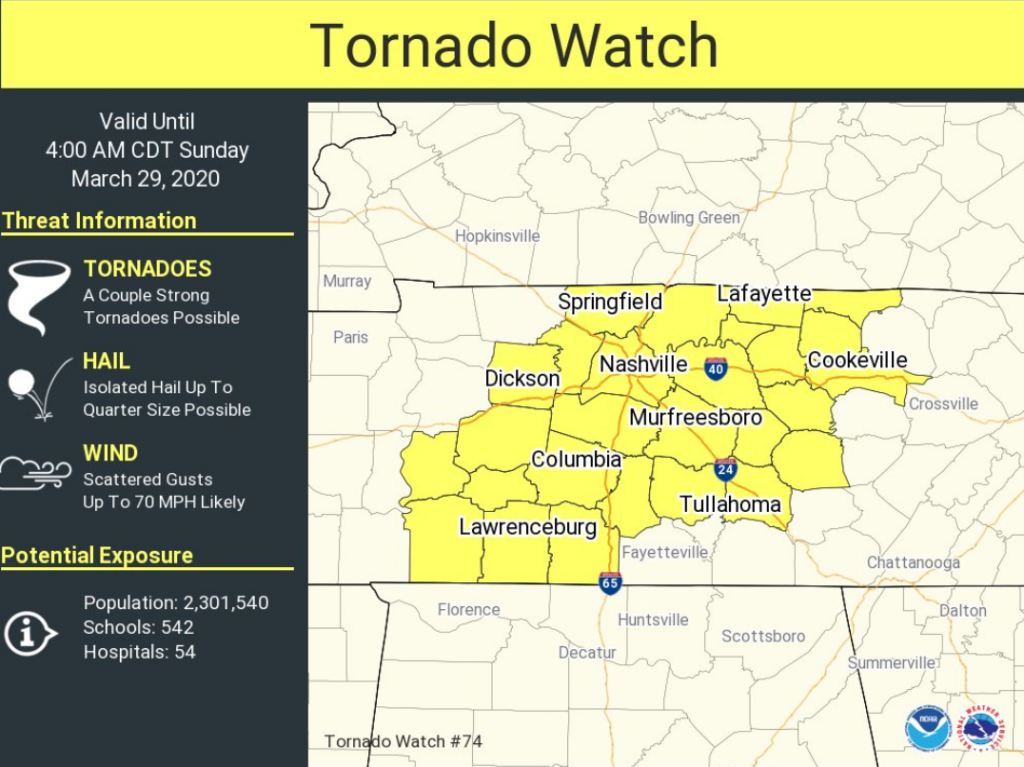
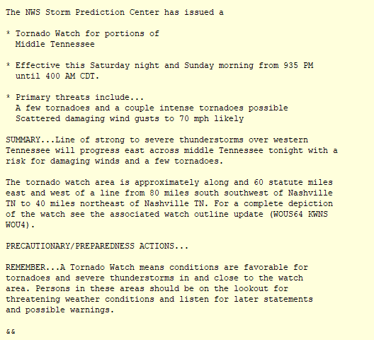
As of 4 PM, Davidson County (Nashville) remain in the Tornado Watch issued earlier today, set to expire at 5 PM. Williamson County is currently not included. It’s expected this Tornado Watch will expire without anything bad happening. We were on the southern edge of the Watched area, storms prompting the Watch passed to the north earlier this afternoon.
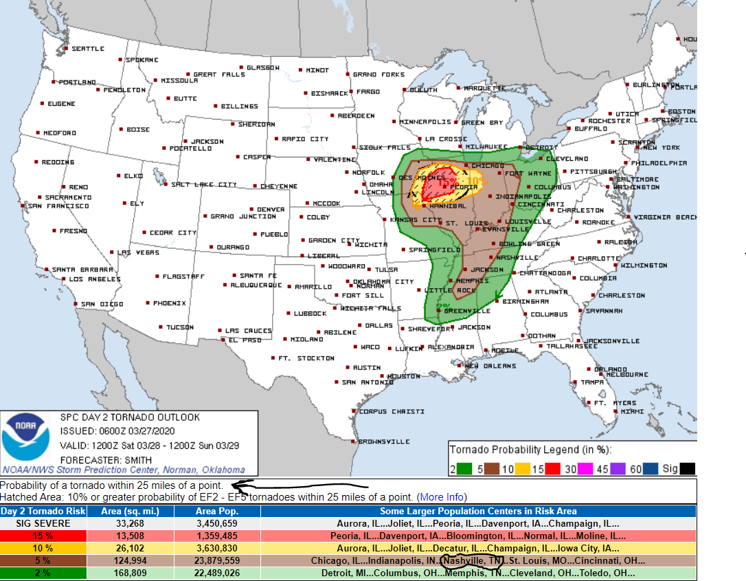
This morning, Will tweeted “Do not seek definitive answers. Seek info.” Wish definitive answers existed about what will happen today. They don’t. Instead we have probabilities about what might happen. This forecast is not a prediction, it’s a threat/risk assessment, expressed as probabilities and updated throughout the day. Later today information will be more precise, timing more certain, passed quickly to you via Twitter. Be flexible, stay alert. Have a way to get warnings, and consult multiple reliable severe weather information sources (local TV meteorologists are great!).
Today’s atmosphere is stable and unsupportive of severe weather. As I’m writing this, all data indicates no instability which is key to making big storms. Other ingredients necessary to support severe weather are also missing today.
From the Editor: We’ve heard from several who are in the process of healing from the tornado that came through our city. Thank you for sharing your stories with us. We read them all. We’re right there with you. One theme we’ve picked up on is that the kids are also going through processes of grief as well. Maybe your kids are. Below you’ll read about a low chance of severe weather in the forecast. We know, while the chance of severe weather is low, that will cause some concern among those (including kids) who are processing last week. Perhaps you’re looking for some resources to help guide your kids through what happened. Below are some links that came our way. We hope they help.
… and off and on rain will carry on throughout the week.
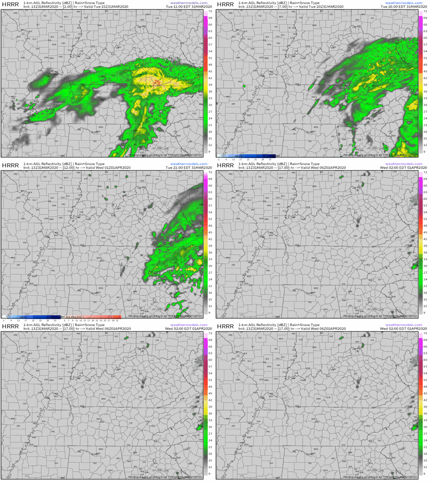
The HRRR model thinks scattered showers will begin Monday night (tonight) around 9 or 10pm:

The GFS model also thinks rain begins later this evening with a break after Tuesday morning, heavier rain Wednesday afternoon, and then more off and on showers through Friday:
Beautiful weather ahead for today:

Keep in mind that as today makes a great day for clean-up efforts, crews will be out working. Volunteers are greatly appreciated, but please do not park on tornado-impacted streets as it will already be very busy in these areas. Commercial trucks and clean-up crews need room to work, so be please mindful of them. If you park in their way, they can’t work.
You must be logged in to post a comment.