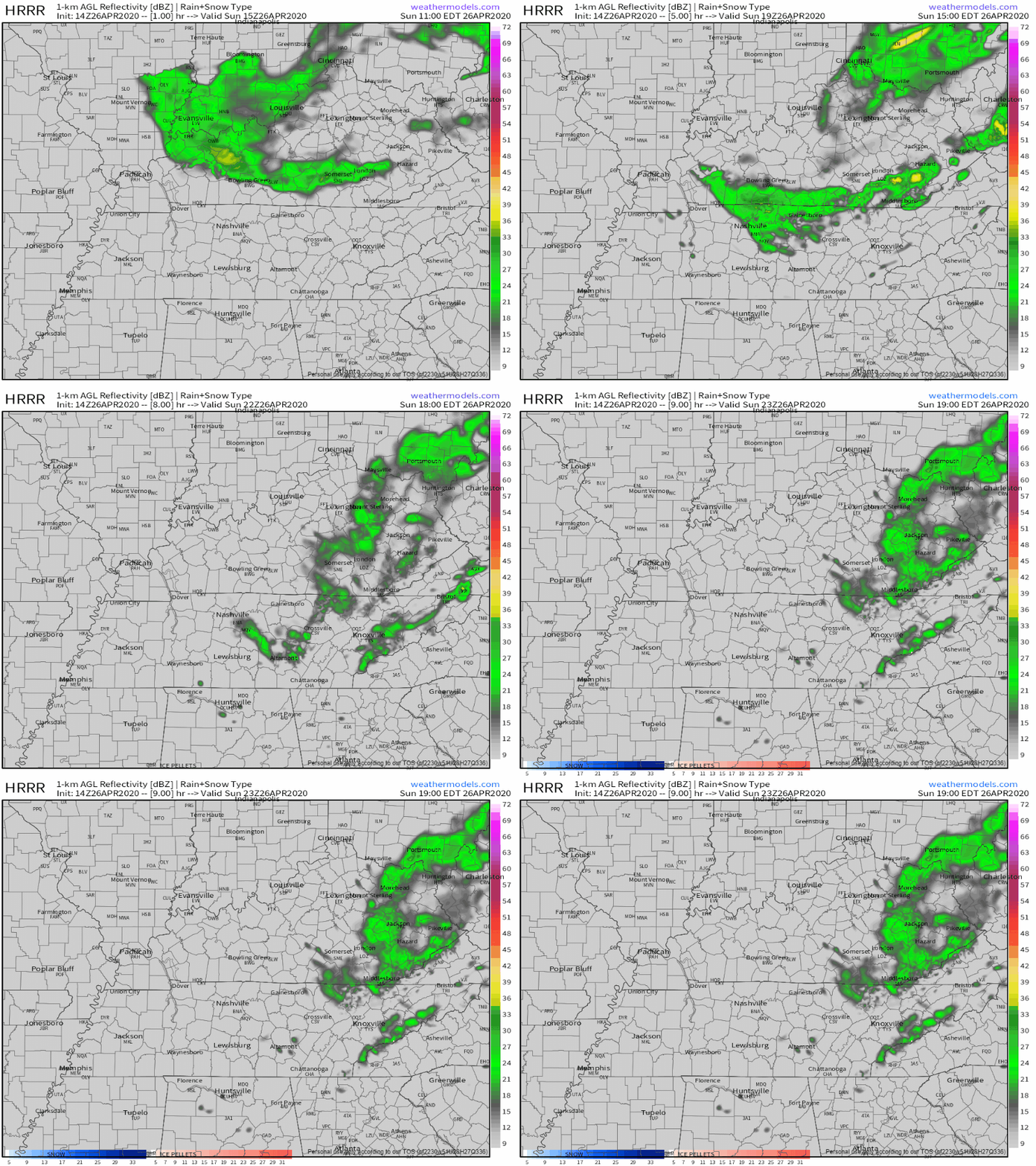
Winds today gusting 15 to 25 MPH will make it feel a bit cooler than it actually is, even with the sun out. Winds will slacken off tonight.
Chilly mornings, though. Below freezing before dawn Saturday, near freezing early Sunday morning.
Winds today gusting 15 to 25 MPH will make it feel a bit cooler than it actually is, even with the sun out. Winds will slacken off tonight.
Chilly mornings, though. Below freezing before dawn Saturday, near freezing early Sunday morning.

It was one supercell producing at least two strong tornadoes.
Our tornado was rated EF-3. Ratings refer to the highest damage reported; this one had EF-0, EF-1, EF-2, and EF-3 damage at various points, but it’s called “EF-3” because that got the highest rating. EF-3 damage was in Germantown, Donelson, and East Nashville. Here’s the zoom on Nashville/Davidson County:
Editor’s Note: You’ve poured love, encouragement, and support into @NashSevereWx for years, but never like we’ve felt in the past 36 hours. We love you guys, we love weather, we hate tornadoes, we hate the lost life, injuries, destruction.
Editor’s Note: Love. Give. Comfort. Respect. Hearing about loss of life. Some families lost homes, students lost schools, workers lost businesses, there will be needs. Let’s meet those needs. Together.
We’ve gotten a break from the rain for a few hours this afternoon. Clouds will stick around, so not much sun there for us today, but regardless we’ll be up to 64° for the high. Strong to severe storms will move in from the west this evening. Here’s more on that from the NWS-Nashville:
The first line in yesterday’s blog was
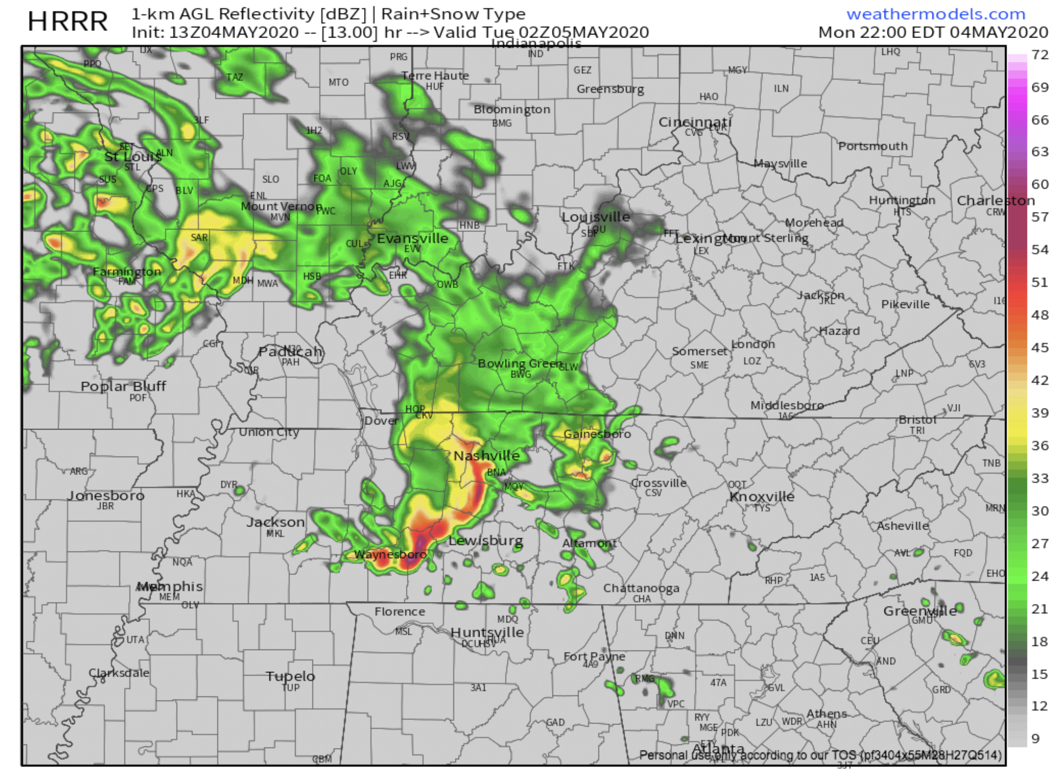
4″ to 6″ of rain (some may see a bit more) is the current forecast from Sunday night through Wednesday; however, timing and rainfall totals are uncertain because models disagree. We may need to decrease or increase these totals.

No concerns for any outdoor weekend activities.
Total rainfall Monday around 1″.

There is a chance for some strong storms on Monday and Tuesday with instability on the rise, but heavy rainfall is the main concern.
Up to 46 this afternoon with sunshine.
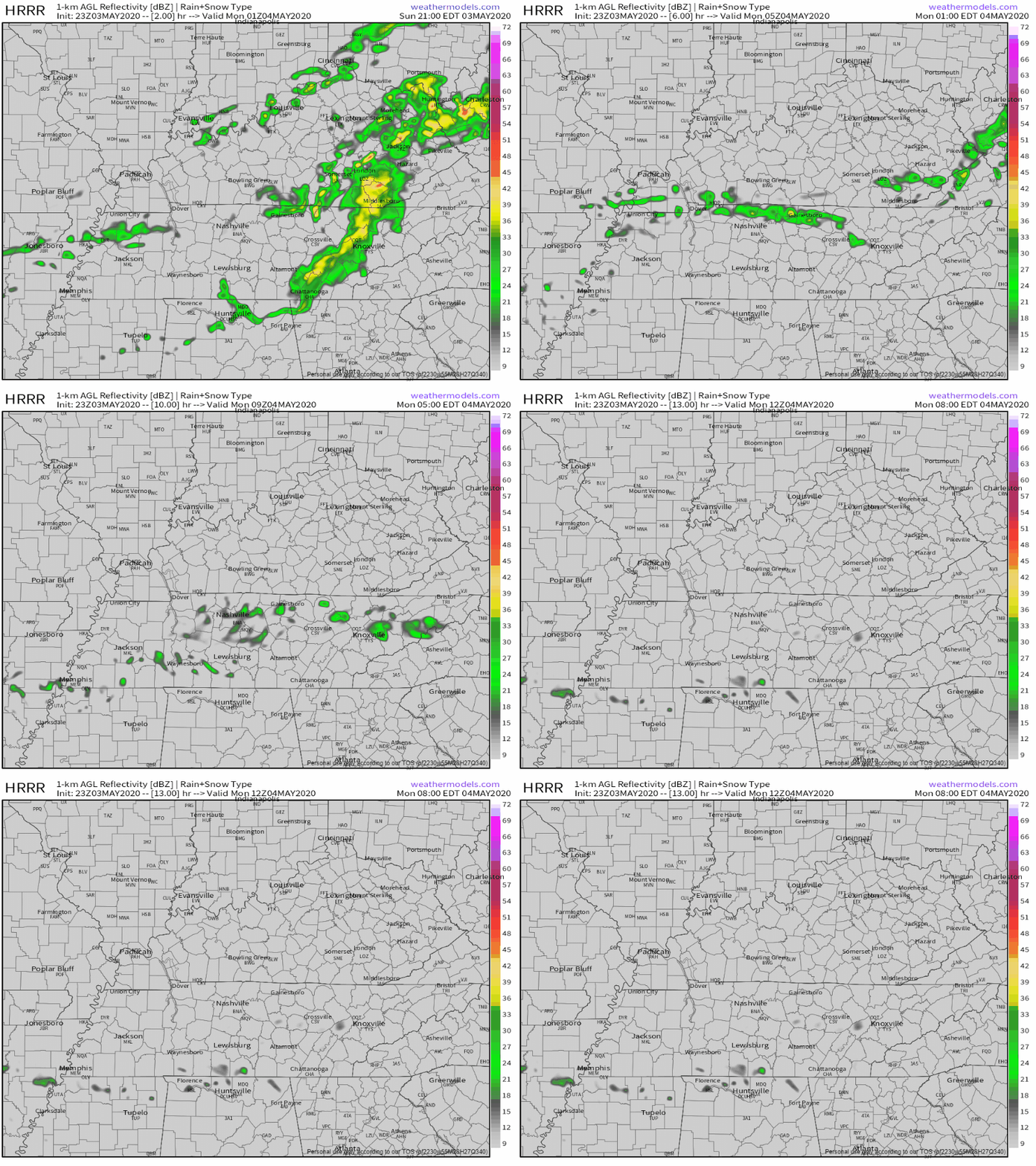
But to our NW another batch of precip is en route, ETA 7-9 PM. Here’s the HRRR model predicting rain with a few snow flurries around midnight:

No meaningful accumulation expected except maybe at the highest elevations. It may not even snow (it could just be rain).
Dry and sunny with a high temperature of 45°. A little chilly, but at least no rain.

Another “clipper system” will streak by after midnight Thursday into early Friday morning. Delivering a quick blast of rain and/or snow flurries. It’s not much.
Rain Rain, Go Away.
It’s not going away. It’s rainy season.
Afternoon high today 44°F, cooler thanks to cloud cover. Rain chances increase tonight. It will also be a bit windy, with gusts as high as 20 MPH. Chilly.
You must be logged in to post a comment.