Straight line winds today dropped trees, tore siding from the side of a house, chipped off shingles, and caused other property damage. The damage is everywhere across Davidson and Williamson Counties. Check our replies for more.
Until early afternoon.
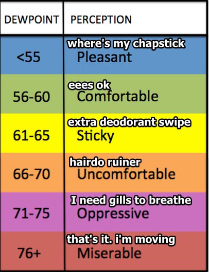
After that, it gets dicey. And BTW, humid today. One of the most humid afternoons of the year so far. Low 60s dewpoints.
But about the storms:
Outdoor activities and events may need additional lead time to enact safety procedures to prevent significant impacts.
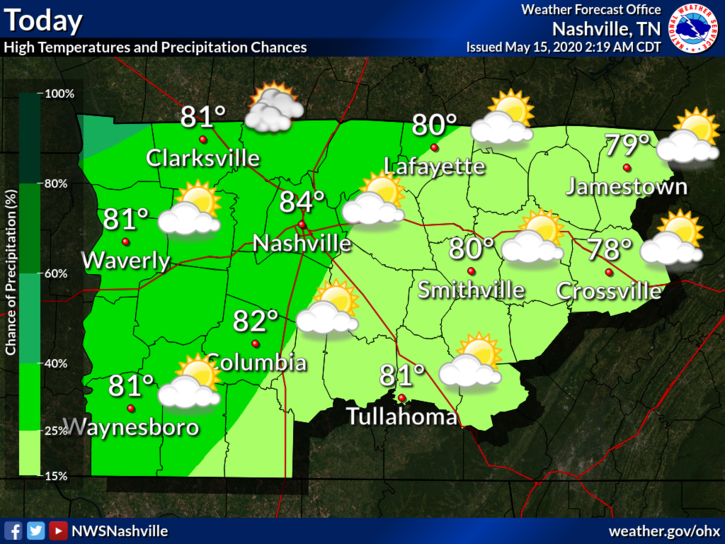
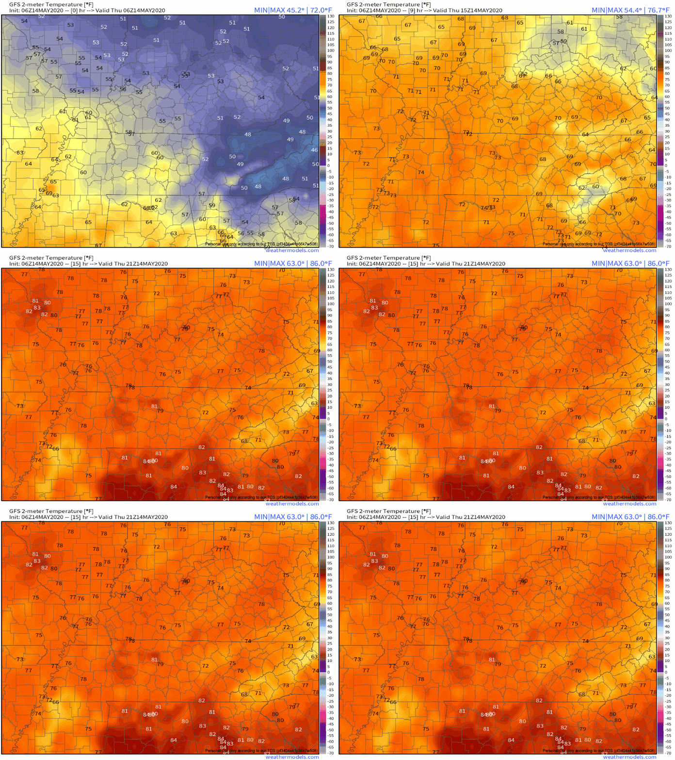
High temps today and tomorrow could exceed 85º. Bring on the heat complainers.

A small chance for rain showers north of us. We don’t think it will sink south down here.
Sunday starts like today.
Lots of sun today. We’ve hit 73° in my back yard and 75° at BNA. These clear skies and warm temps continue. Tomorrow, the 80’s return.

The blue skies and sun continue through Sunday morning. Clouds begin moving in around lunch and by sundown Sunday night begins our chance for rain and storms.
Excellent next 4 days.
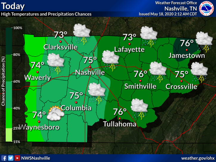
Rain today will be east of us.
It won’t rain here until late Sunday night into Monday.

Sweaty humidity Sunday and Monday.

Severe weather Monday? Nah. Probably just rain.
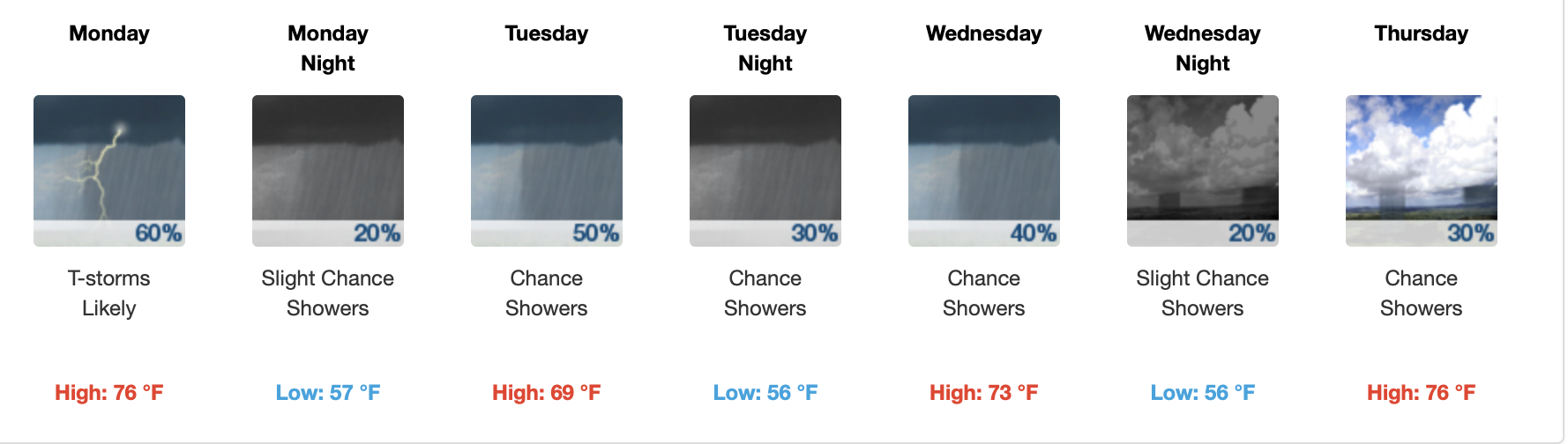
Look for off and on rain Monday through Wednesday. Very little each day.
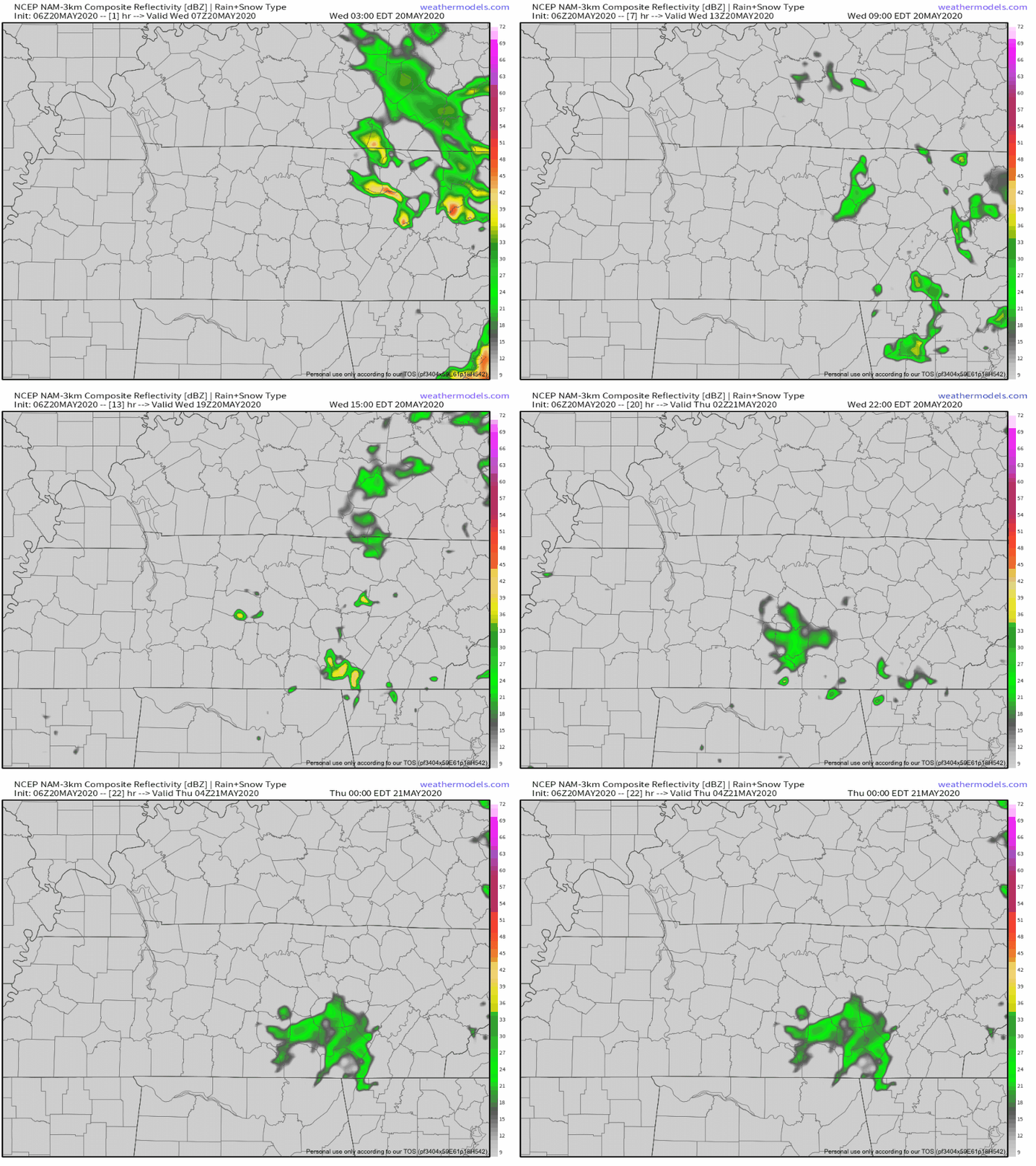
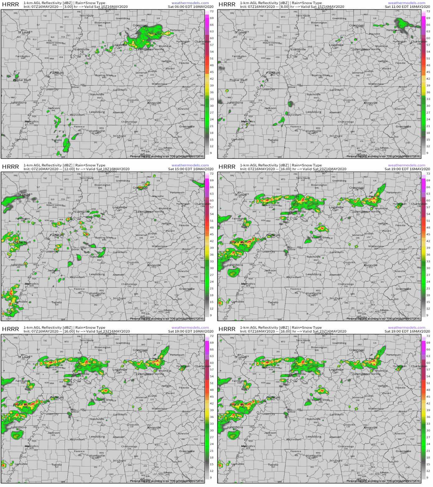
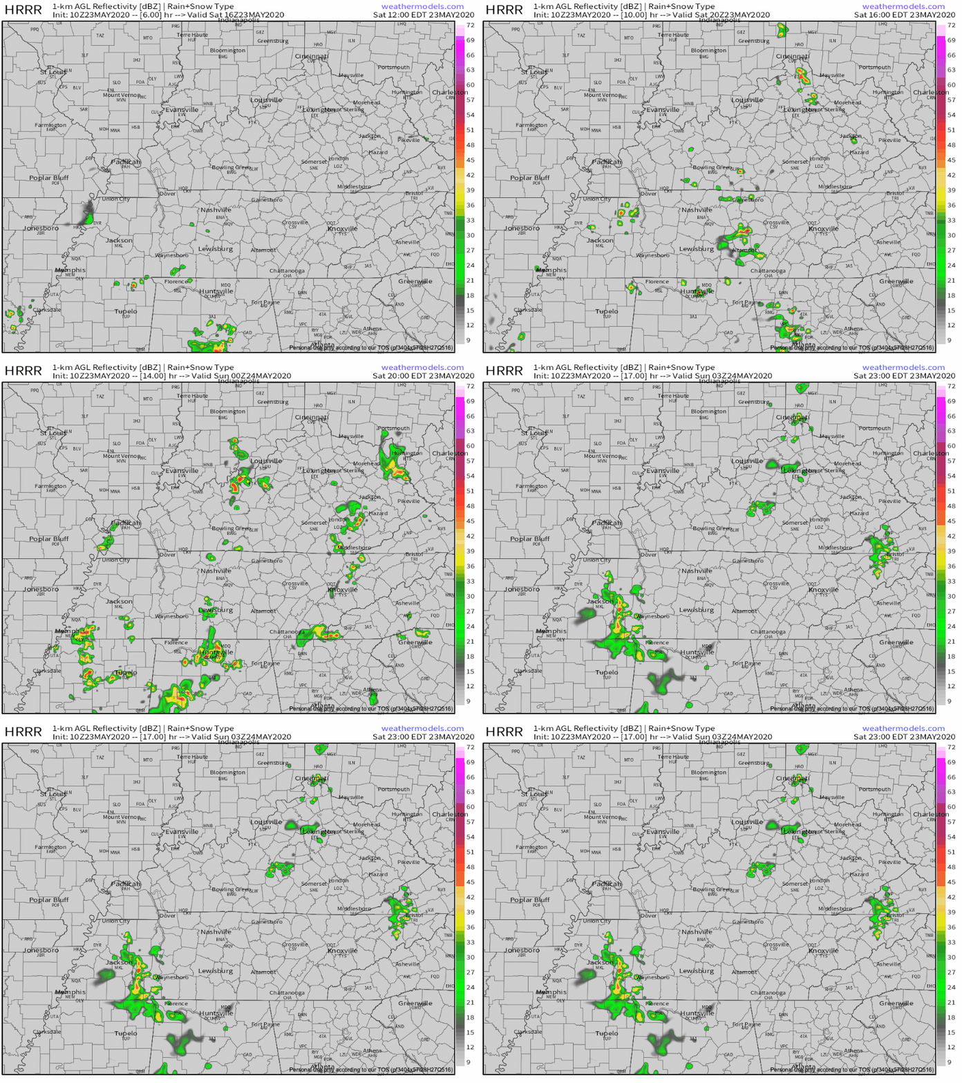
Rain and storms are expected around lunch into early afternoon.
HRRR model thinks it’ll arrive between 1 PM and 2 PM.

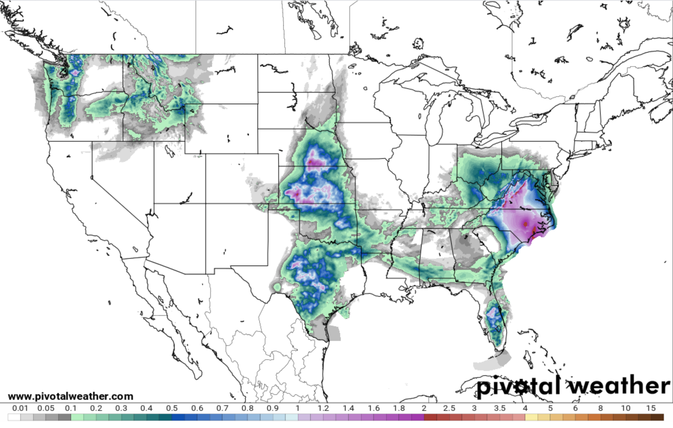
Lightning is possible but unlikely. About 0.2″ or less expected:

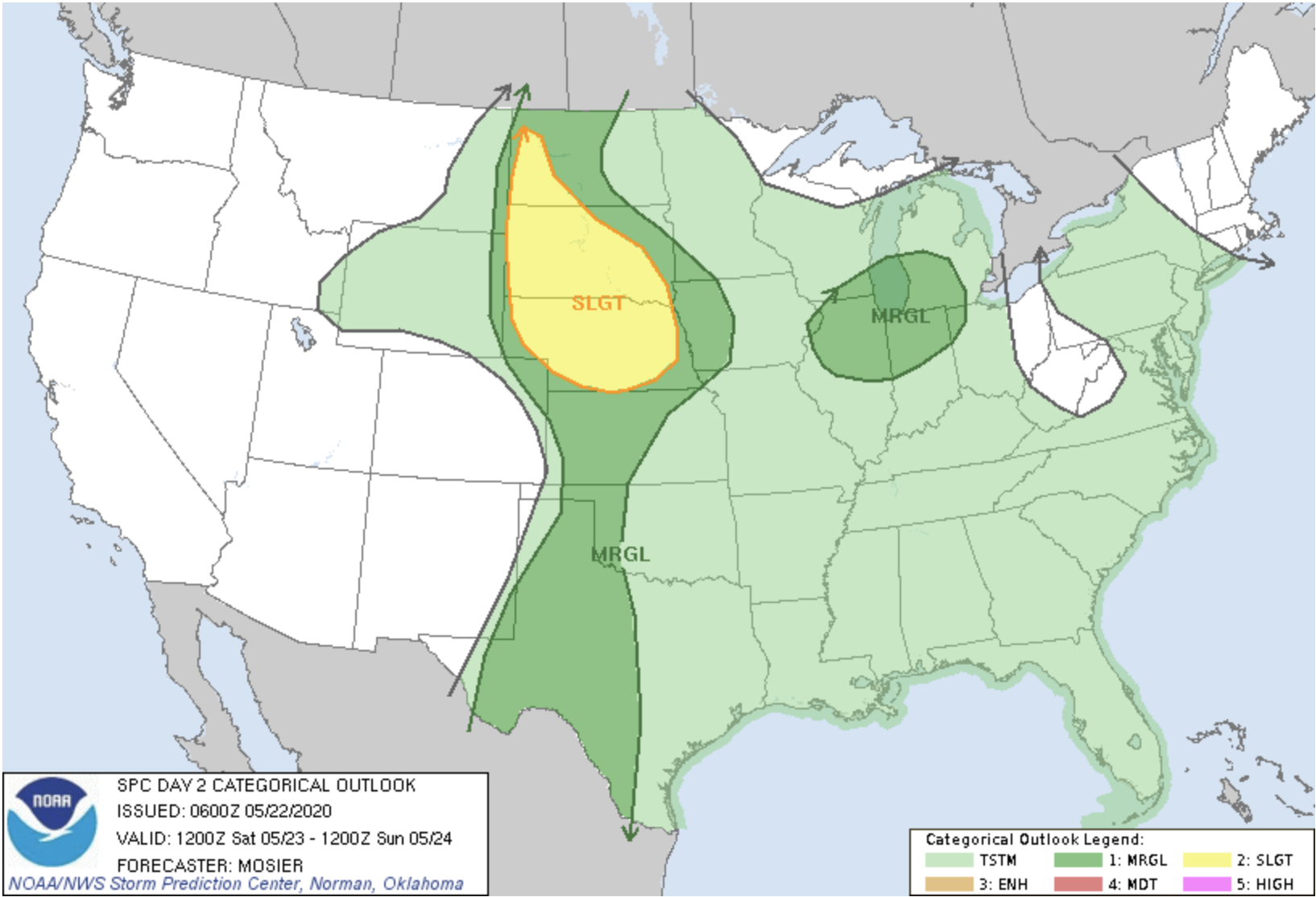
These storms will feed off a narrow strip of storm fuel. But — severe weather is not expected.
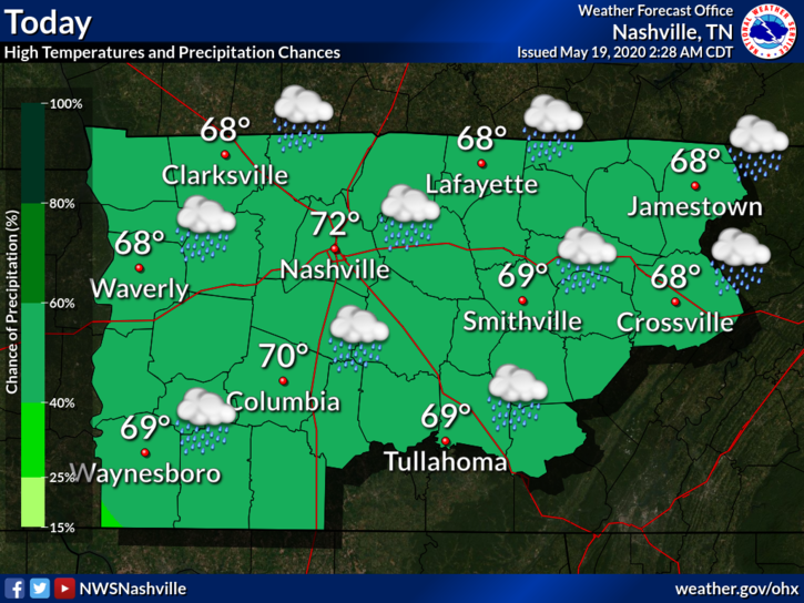
A mix of sun and clouds, and a temperature around 78°. No rain in the forecast until later tonight.
Rain chances will be with us beginning tonight and will close sometime Thursday. To our west, we will be watching a pretty stout line of storms push our direction. We think this line of storms will be weakening as it approaches.
Sunshine and 72° as of 4:00 pm. This has been a fantastic day.
Tuesday will be similar, a bit warmer, with highs around 77°.
Tuesday night, our next system will swing in bringing a chance for rain and thunderstorms. The window for rain opens Tuesday late afternoon and closes Thursday morning.
Yesterday’s Wilson/Smith Co. Tornado.
Just before 4:45 PM, the line that came through north Williamson County/south Davidson County tapped higher instability and slightly more favorable tornadomaking ingredients.
Today we’ll see waves or rain, and possibly some strong to severe storms.
You must be logged in to post a comment.