Periods of heavy rain will continue throughout much of the day. Urban and river flooding is still very much a risk. Middle Tennessee is under a Flood Watch through this afternoon, as the rain begins to become less widespread. read more
Rain is already moving into the area this Thursday morning. It will last through Friday.
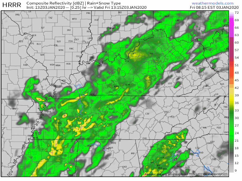
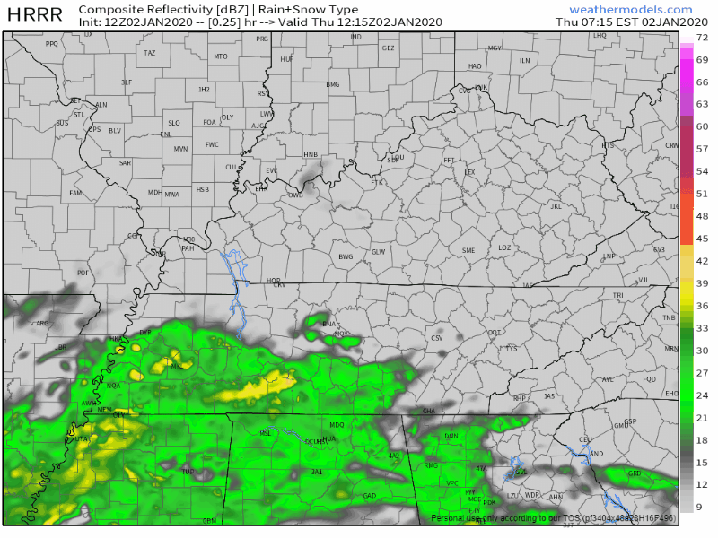
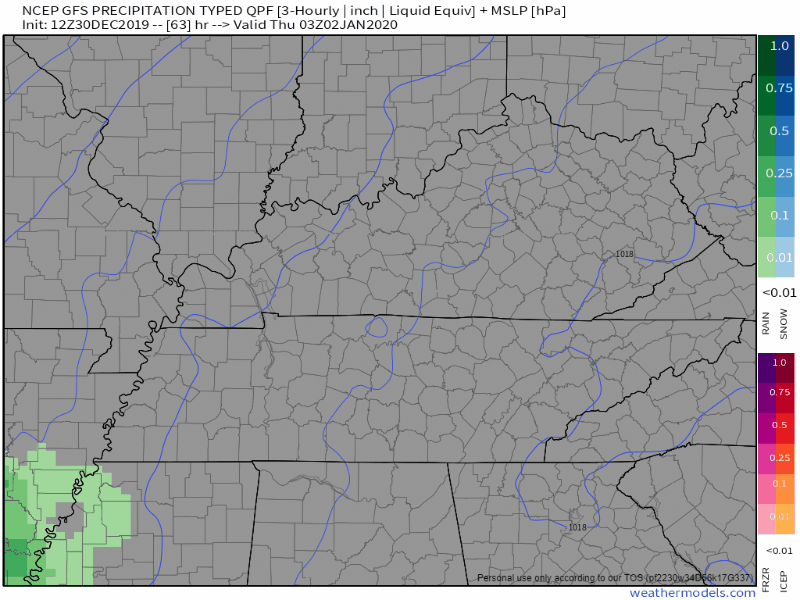
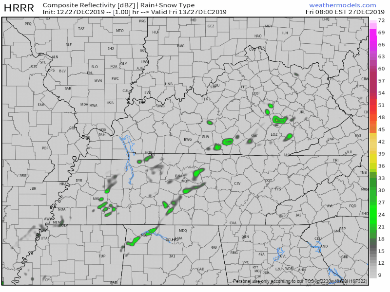
The HRRR model shows rain all of Thursday, before dispersing on Friday:
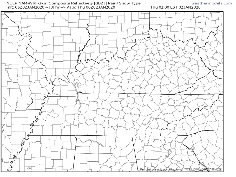
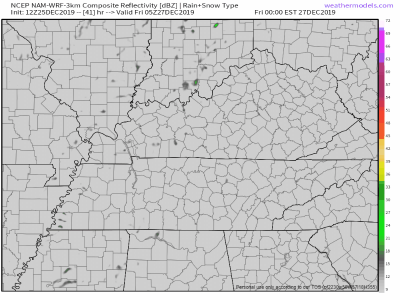
The NAM3 model agrees:
Heavier rain should move out by Friday afternoon (as of right now), and the rest should leave by Friday night, though we could see some lighter lingering showers into Saturday.read more
Now that all the excessive rainfall has moved on out of Middle Tennessee, cooler temperatures are going to stick around with us over the next couple of days. Due to all of that rain, some rivers and creeks are still pretty high, so rivers such as the Cumberland and Harpeth currently have flood advisories attached to them for elevated levels, although neither river is forecast to reach flood stage. Careful on the greenway near Percy Priest Dam, however. Portions of it will be impacted.read more
1″ to 2″ of rain today. Widespread flash flooding not expected. But area creeks, streams usually prone to flooding may be up tonight and Monday morning. *Looks at Mill Creek in Nolensville*read more
Today began with a good misting of rain for many of us.
That rain has pulled out and taken some of the cloud cover with it, but it won’t last long.
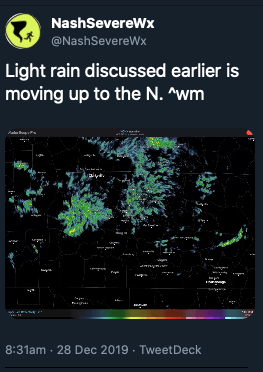
Here is a wide angle view of the radar at 12:35pm showing more light showers similar to this morning on our SW doorstep.
This won’t ruin any plans, but it will make the roads wet again, and usher in some cooler temps while it’s overhead. Bring a rain jacket to the honkey tonks tonight.
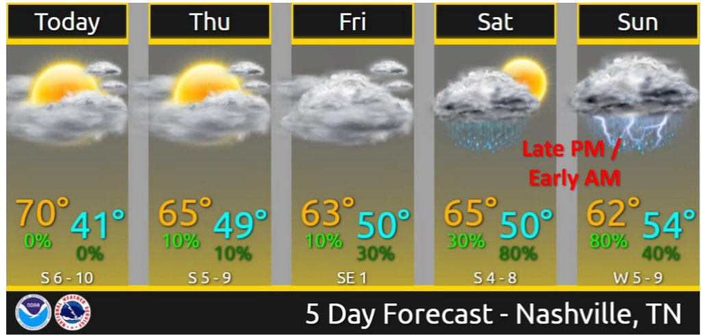
Sunday Rain/Storm Chances
An upper low will deepen as it swings off the Rockies and through the central part of the country. Southerly surface flow will pick up ahead of this system encouraging temperatures to warm into the
mid to upper 60s again on Sunday. PWATS are still running very high for the time of the year. Values of 1.5 inches or higher could be possible through the early morning hours on Sunday to Sunday night.
Models have shifted the axis of heaviest precip to
the west, over portions of west Tennessee and western Kentucky. However, this axis could easily wobble east or west over the next 24 hours as we see how the system evolves. For now, expect anywhere from 1 to 2 and a half inches of rain in Middle
Tennessee.read more
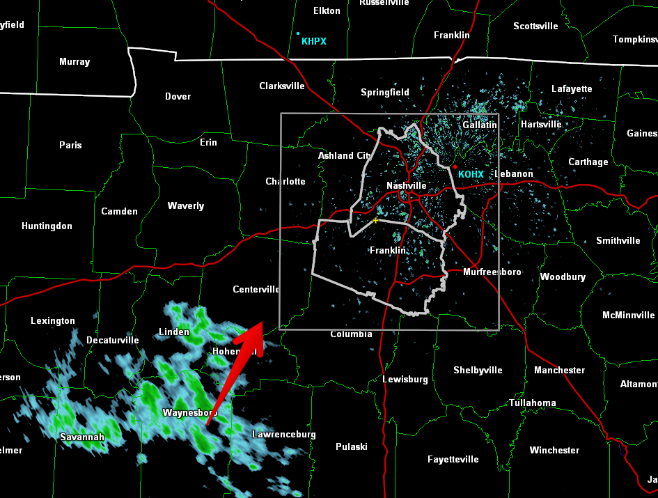
A few showers are showing up on radar this morning and on the HRRR model for this afternoon:
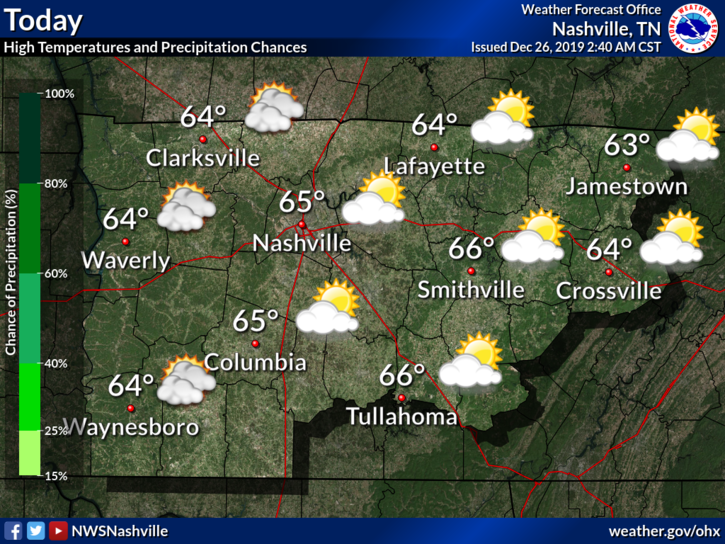
Most of us will stay dry throughout the afternoon, just a little trace of precipitation by the end of the day. Temperatures will be a lot like yesterday’s, high around 64°. read more
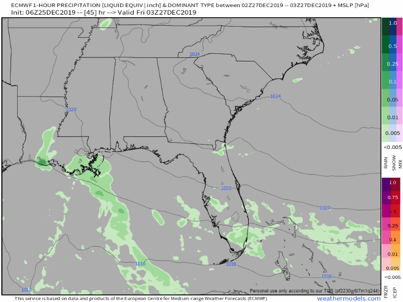
Rain possible Friday but I’m unimpressed. NAM3 model shows a few weak inconsequential rainers:
Euro shows a few light rainshowers in spots:
This should not deter your Friday outdoor plans.read more
Subscribe to Blog via Email
Privacy & Cookies: This site uses cookies. By continuing to use this website, you agree to their use.
To find out more, including how to control cookies, see here:
Privacy Policy


You must be logged in to post a comment.