
We’ve got a few showers hanging out just N of I-40, drifting east. They’re part of a weak shortwave trough. We could see more showers and a few storms later this morning and afternoon with daytime heating.
Rain should wander in late this morning. Radar update: pic.twitter.com/8qK4P4kmld
— NashSevereWx (@NashSevereWx) October 2, 2018
Cloud cover will keep high temps in the low/mid 80s. Dewpoints in the upper 60s, gross.
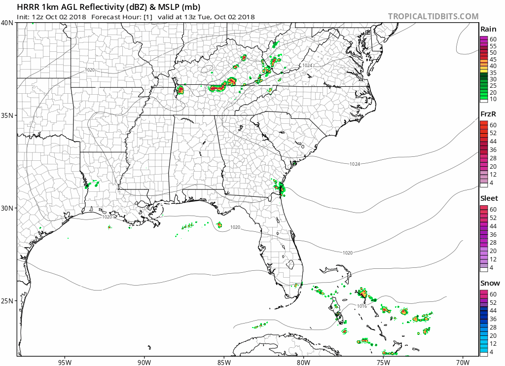
Should be fine to keep afternoon plans, especially if this late morning light rain comes in to settle us down. Keep a radar handy in case you have a storm go up near you; that’s certainly possible this afternoon as the HRRR model suggests below.
Wednesday & Thursday
Our weather will be dominated by an upper ridge. This means hot, humid, and very few daytime showers.
High temps on Wednesday in the upper 80s, with Thursday’s high in the low 90s. The heat – and humidity – continues.

The Weekend
The rain-suppressing ridge overhead won’t be going anywhere for awhile. It will still be here for the weekend.
Constant south winds will keep our dewpoints up which means humidity will stay in the “uncomfortable” range. Rain chances should remain low.


Categories: Forecast Blogs (Legacy)
You must be logged in to post a comment.