

Dear NSW,
Colts at Titans kickoff at 7:20 PM. I have tickets and my cousin Marbles is a degenerate gambler. Will it rain?
/s/ Fish
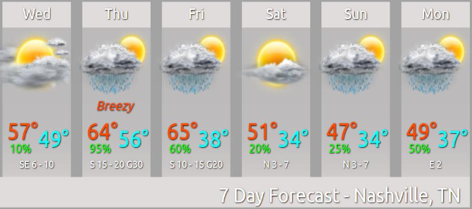
The truth is weather models still disagree, but if we look through them we’ll get an educated guess.
- The Euro model thinks it might start very lightly raining in the fourth quarter, but probably not.
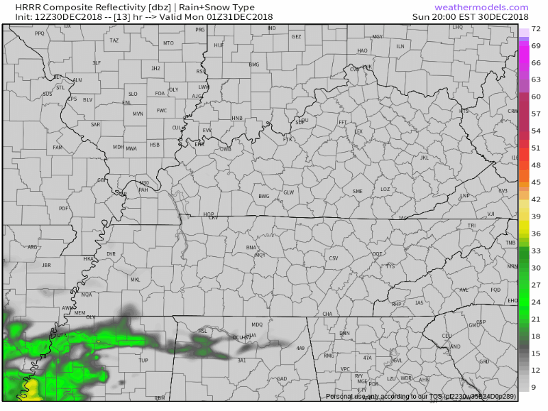
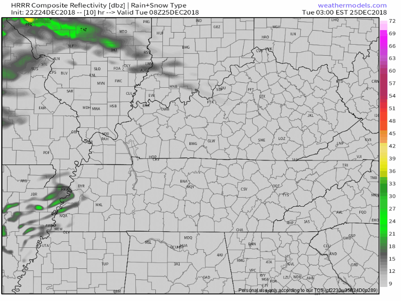
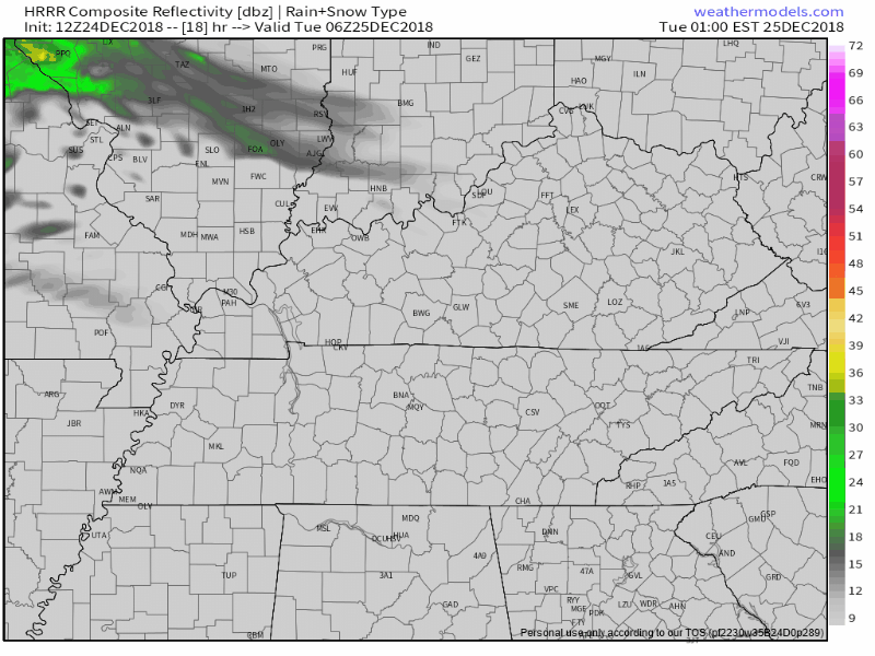
- The HRRR model (my go-to model at this range, but it’s not perfect) thinks rain will arrive in the second half, not really effecting field conditions too much, but enough to make the ball slippery.
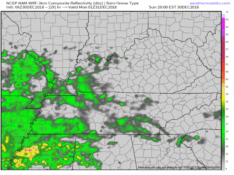
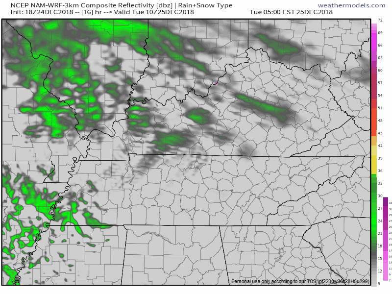
- The NAM3 model is the rainiest (as usual, it loves to say Watch Out! Gonna Rain!). Here it is, below, from 7 PM to 11 PM tonight, delivering rain throughout the game:
By mid-afternoon we’ll have a good idea which model will land closest to the truth when we look on radar to our southwest and see how close the rain actually is to us.


You must be logged in to post a comment.