
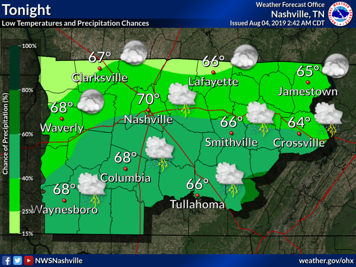
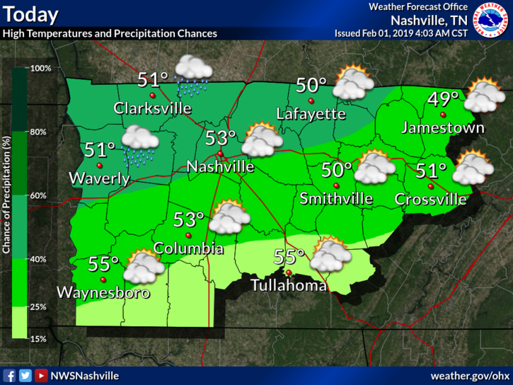
A flash flood watch is in effect from 3 PM through late evening for Davidson County. Williamson is excluded from this watch.
From NWS Nashville:
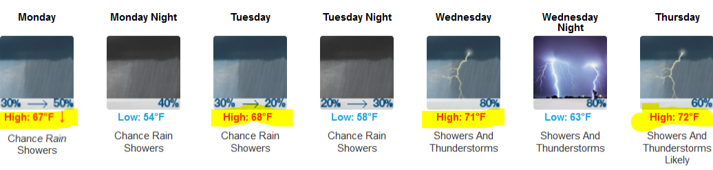
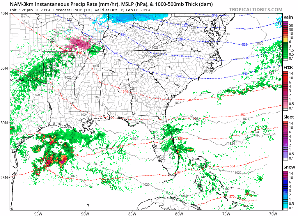
Up to 1 inch of additional rainfall will fall in areas that already have saturated ground conditions from yesterday`s heavy rainfall. Street flooding will be a big hazard for travelers. Low lying areas and poor drainage areas will be at risk for flash flooding. Also watch for flooding along small streams.A wind advisory is in effect from 10 AM until 7 PM tonight for both counties. As a cold front approaches today, we’ll have sustained winds 20 to 30 mph with gusts up to around 40 mph. After rainfall begins, winds will begin to decrease.


You must be logged in to post a comment.