

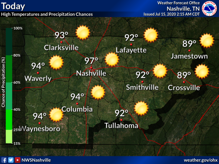
Friday
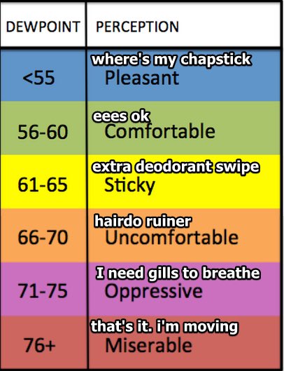
At 10 am, the heat index has already been recorded at 90° and the dew point at 72°.

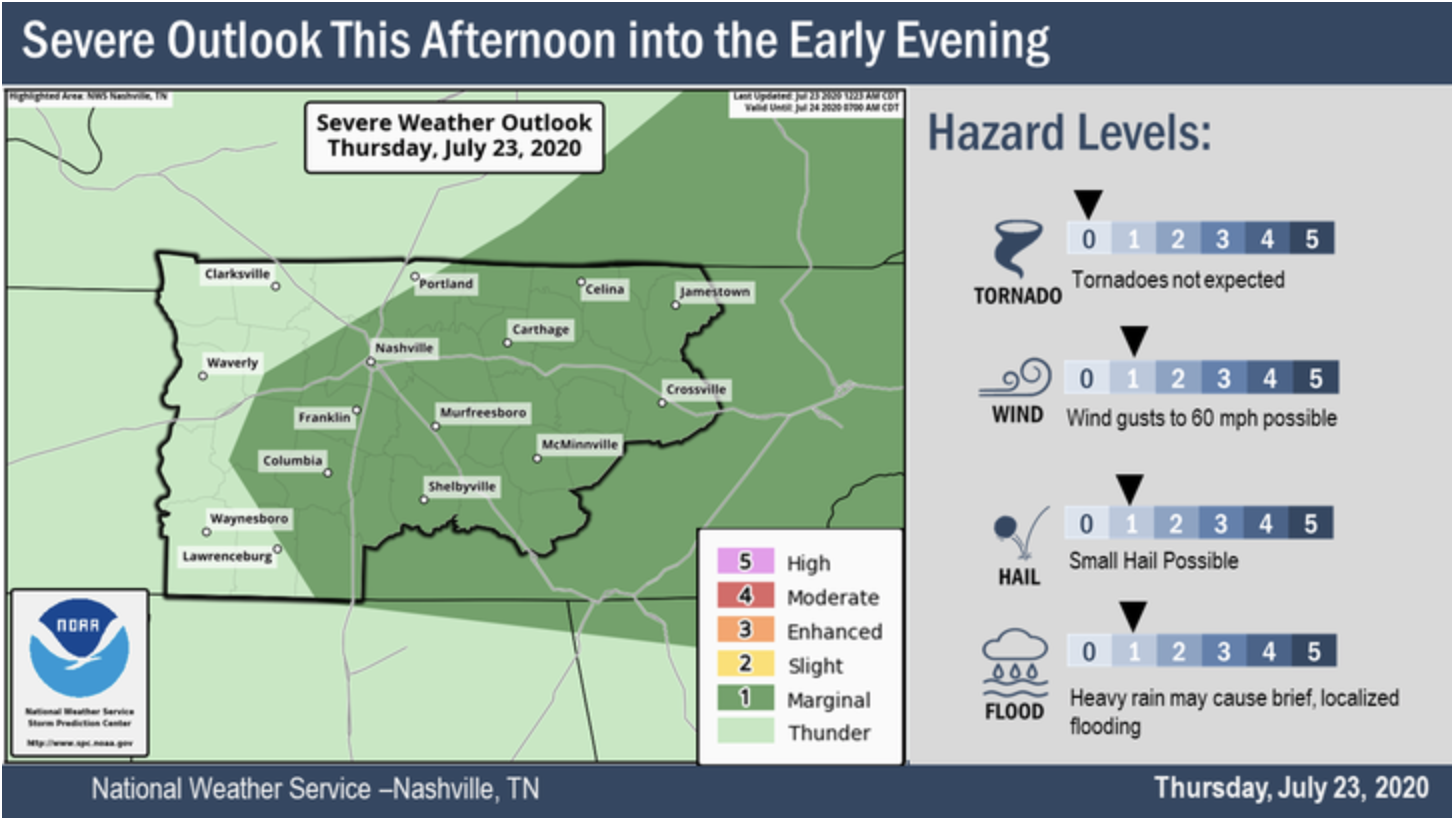
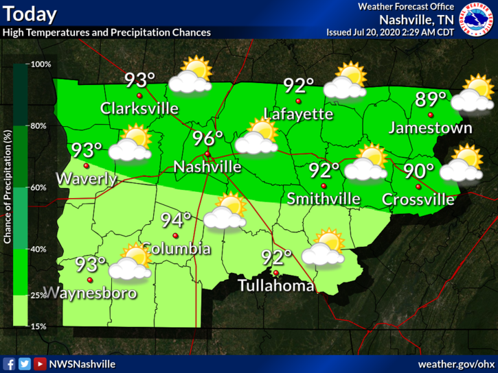
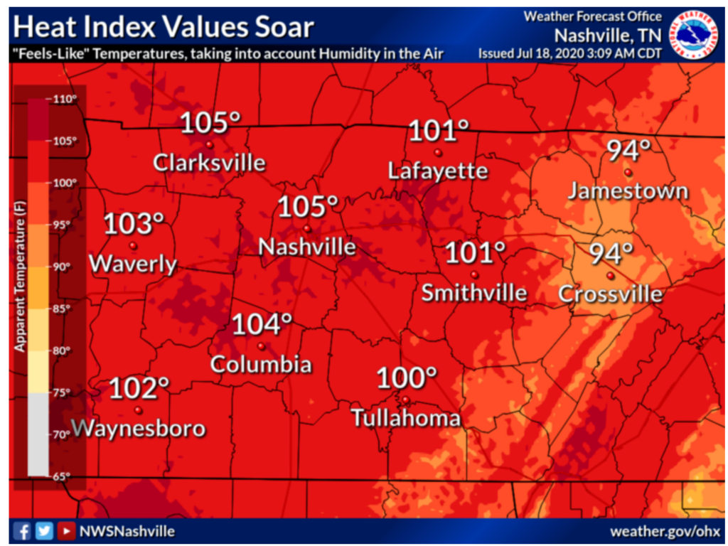
Heat index values will be in the upper 90s today, but some places could see some feel-like temps of 100.
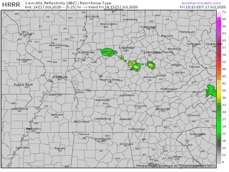
The dew point will stay in the lower 70s today, which could help to spark some showers and storms.


You must be logged in to post a comment.