
Another typical summertime forecast. It’s miserably hot and humid with high temps today in the mid 90s.
Afternoon storms are bit more likely today. Showers/storms will break out across the region around 1 PM and will come and go. Some storms could contain strong winds and heavy downpours. Will you get one? Who knows, models do not do well predicting the “where,” although they do OK with the “when.”
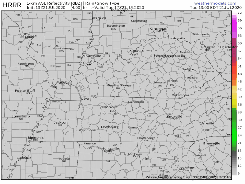
HRRR Simulated Radar from 1pm to 11pm today
Hail and tornadoes are not expected.
Lightning is probably the biggest danger.
Same Story Rest of the Week
Afternoon storms may contain strong winds, CG lightning, and heavy downpours. Storms will rise and fall, come and go, living short lives. Your area could experience more than one each day. Or, nothing at all.
NWS-Nashville thinks there will be more storms around Wednesday and Thursday afternoons, so your odds of getting one are higher then.
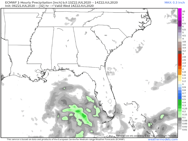
The Euro model is below. It shows rain/storms blossoming each afternoon on Wednesday, Thursday, & Friday:
Rain chances decrease Saturday and Sunday. No rain, fewer clouds, so … more heat. Models show potential for highs near 100°s, but that is probably an exaggeration. NWS-Nashville forecasts mid 90°s. All that said, a few pop up showers or thunderstorms are still possible each afternoon.
There is no end in sight to this pattern.


Categories: Forecast Blogs (Legacy)
You must be logged in to post a comment.