
Tornado Watch Canceled, Severe Threat Over
The tornado watch originally set to expire at 10:00 p.m. was canceled early as the line of storms has moved east. We have been watching a warm front to our south all day to see if it would move far enough north to send severe storm food up into our two counties. The front just couldn’t get far enough north to accomplish this, and to that, we say…”fine with us.”
What’s Next?

Sun will return tomorrow, Thursday and Friday with temps rising each day. 64° Wednesday, 76° Thursday and a nice 82° Friday.
We’re Watching Saturday For Our Next Severe Chance
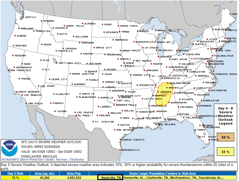
The Storm Prediction Center has outlooked us for a 15% chance of seeing severe weather within 25 miles of us for Saturday. They say:
Thunderstorms that form along and ahead of the cold front should move eastward across the Tennessee Valley and northern Gulf Coast States during the afternoon. Deep-layer shear is forecast to be strong enough to support a severe threat. Wind damage, hail and possibly a tornado threat could develop Saturday afternoon.
Storm Prediction Center Discussion 3:59 a.m. March 24, 2020
We’ll keep an eye on it as/if it develops over the next several days.
In the meantime, enjoy the sun.

Categories: Forecast Blogs (Legacy)
You must be logged in to post a comment.