
Light Showers on Sunday
Showers are currently moving into the area from the west. Nothing heavy, but enough to probably want an umbrella or some sort of buffer.
The chance of rain is low after that, but not nonexistent. Here’s the HRRR model through tonight:
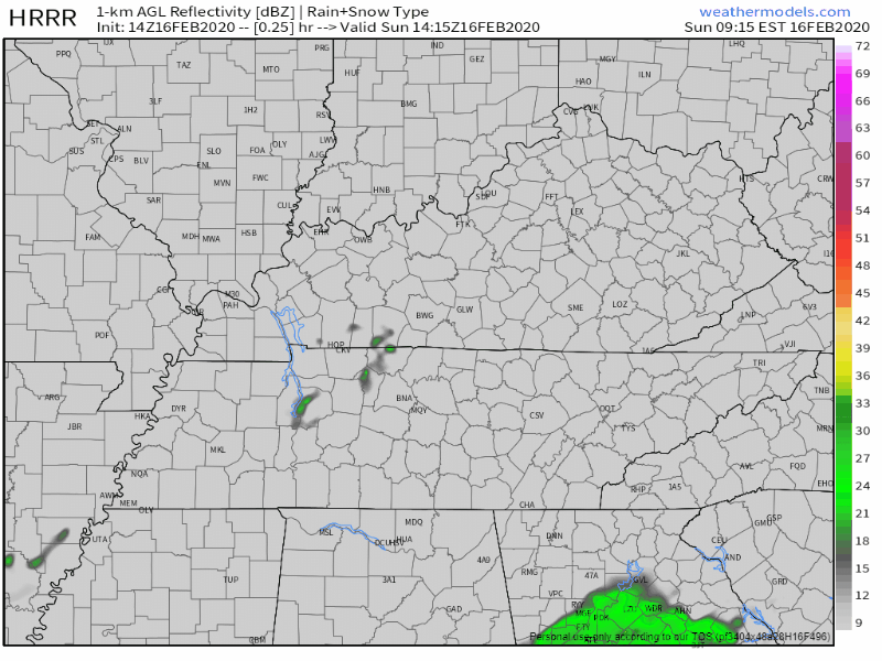
If any other showers race by today, they will be scattered and brief.
High temperatures will reach 54°.
Calm Monday
High temp will reach 62° with mostly cloudy skies. Overall, a comfortable day.

Next Rain Chances Begin Monday Night
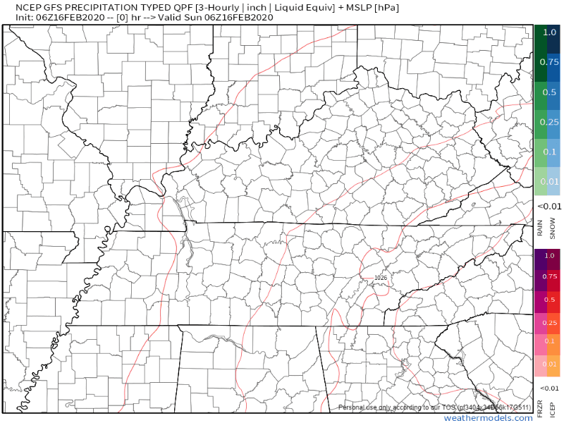
The GFS model shows rain beginning overnight Monday, clearing out by Tuesday night.
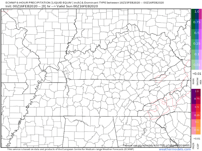
The EURO model shows rain moving in closer to Tuesday morning, clearing out by Tuesday night.
Overall, expect rain overnight Monday into Tuesday night. It’ll be off and on.
Widespread rain chances will then move into the entire area on Tuesday ahead of a cold front. Models continue to suggest only a few tenths of an inch of rain with this system due to its much more progressive nature and lack of strong deep forcing that the previous few systems had.
NWS-Nashville AM-Discussion, 02/16/20
A few stray showers could still linger behind early Wednesday morning, but the main system should be out of the area by then.
SEVERE WEATHER?
So far, no concerns. Not enough shear/instability expected.
Then Cooler Air Moves in, Calmer Weather Beginning Thursday
A look at temperatures this week:
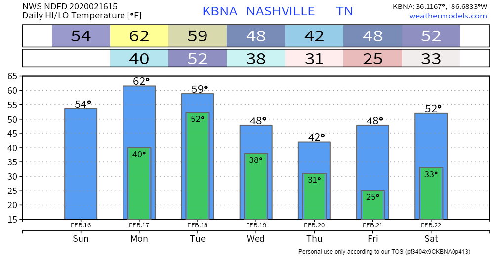
Notice the drop in temperatures after the passage of the cold front mid-week. Take note that Saturday morning will also be very cold if you have plans early on.
Good news? Thanks to high pressure, skies should be clear Friday into this weekend.


Categories: Forecast Blogs (Legacy)
You must be logged in to post a comment.