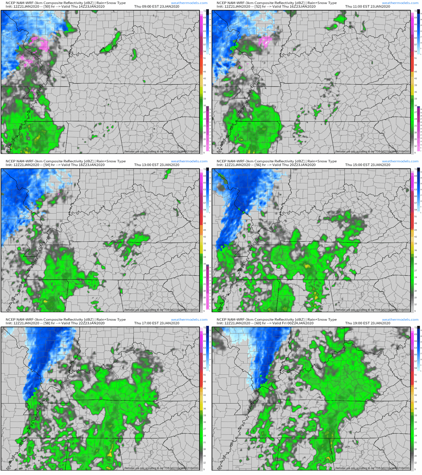
Today (Tuesday)
Temperatures will be topping out at 87° for the high, remaining mostly sunny.
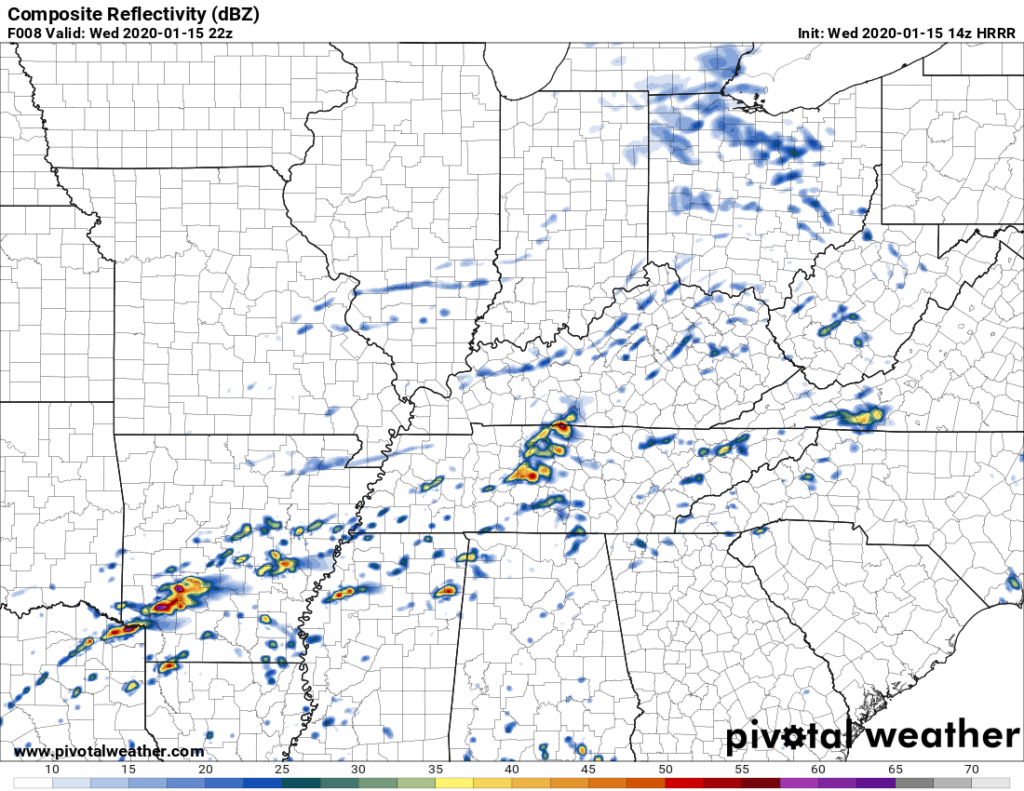
No rain today. Any precipitation should stay south this afternoon.
Dewpoint values will be a bit lower as well, so it won’t feel as sticky out there.
NWS-Nashville says:
“During the afternoon, short-range guidance depicts a few hit and miss thunderstorms, but nothing terribly organized. Instability, lapse rates, and moisture will be in place for thunderstorm development…however, low shear and weak mid-level ridging will work to keep storm coverage to a minimum. Any storms that do get going have the potential of becoming strong/severe with damaging winds and hail being the main concerns.”
At 853 PM.
No more severe weather expected tonight.
Just some light rain.
My fave photo of the night:
@NashSevereWx @NWSNashville @FOXNashville @WKRN pic.twitter.com/CgtEwG5Bq9
— David Howe (@DHdeeder) June 22, 2019
A Watch means conditions are favorable for severe thunderstorms.
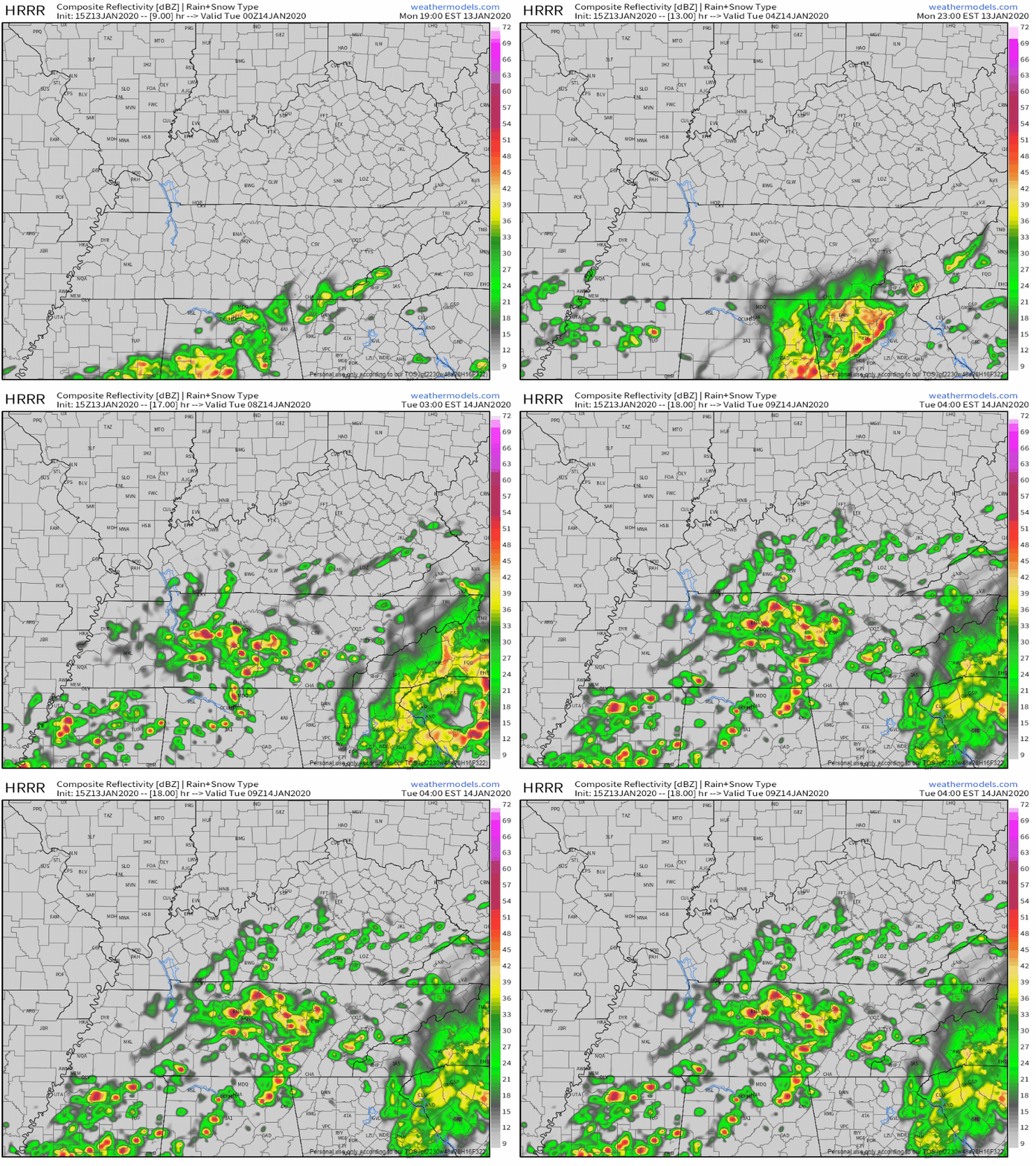
A storm system is expected tonight, coming in a large line down I-24 from Kentucky.
Do not get hung up on Williamson County’s exclusion. A second Watch may be needed, to include Will Co., if storms stay severe tonight as they cross the KY/TN line.
That was quite the evening of severe storms last night.
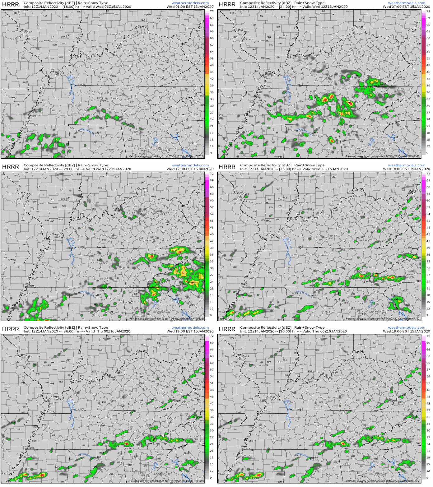
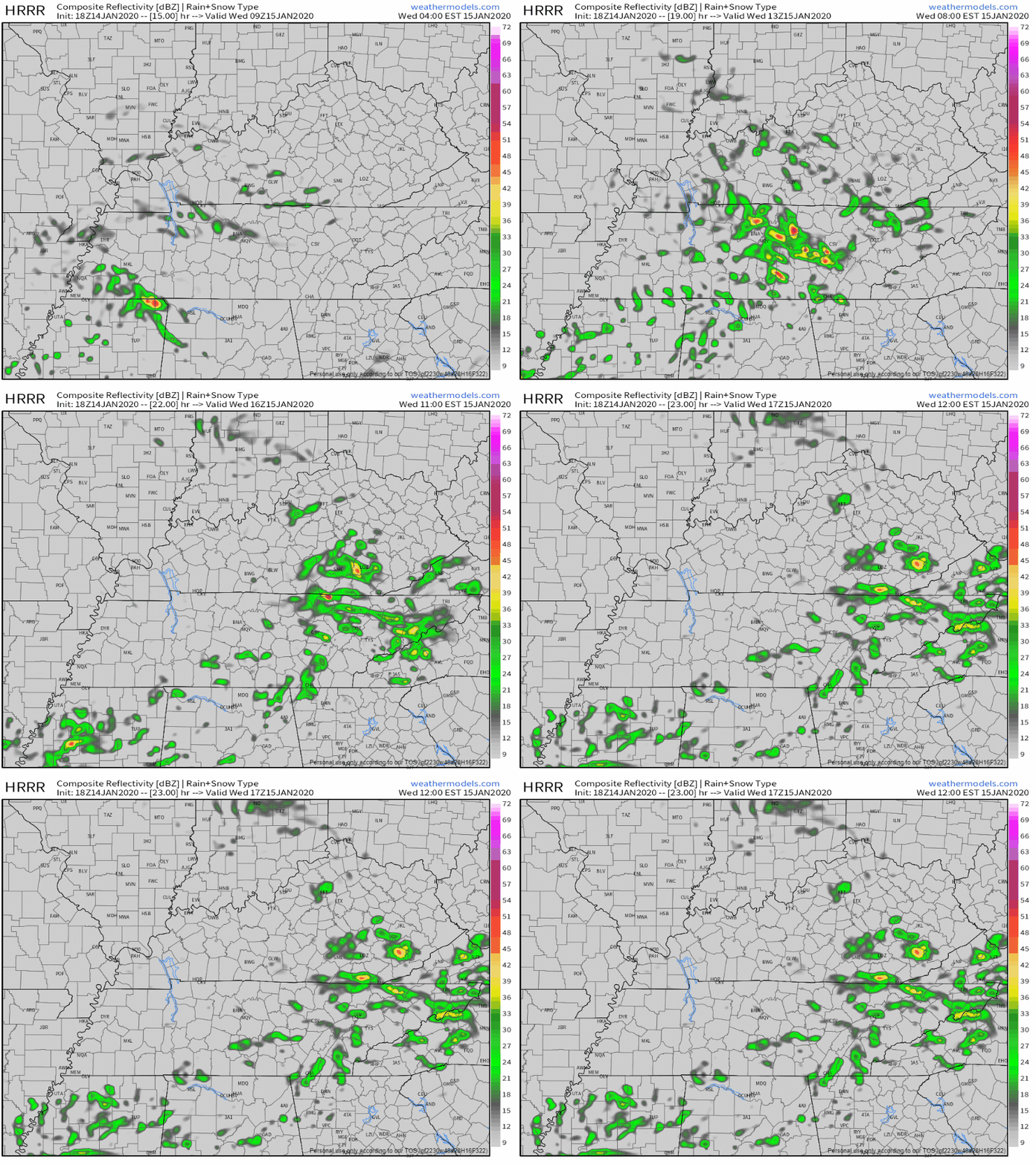
North Nashville storms before 8 AM should drift north and out of our area.
Later this morning,
further development in west TN and persistent [model] guidance suggests that more scattered [storms] will continue from mid morning through the early afternoon…especially for locations along and north of I-40. This will be monitored over the next few hours, but the severe threat should generally remain low. . . . Most of us will dry out by mid afternoon and early evening, remaining dry through the first half of Friday. (NWS-Nashville).