
Confidence is “low to medium” (NWS-Nashville) in forecast accuracy for snow Monday.
Variables include:
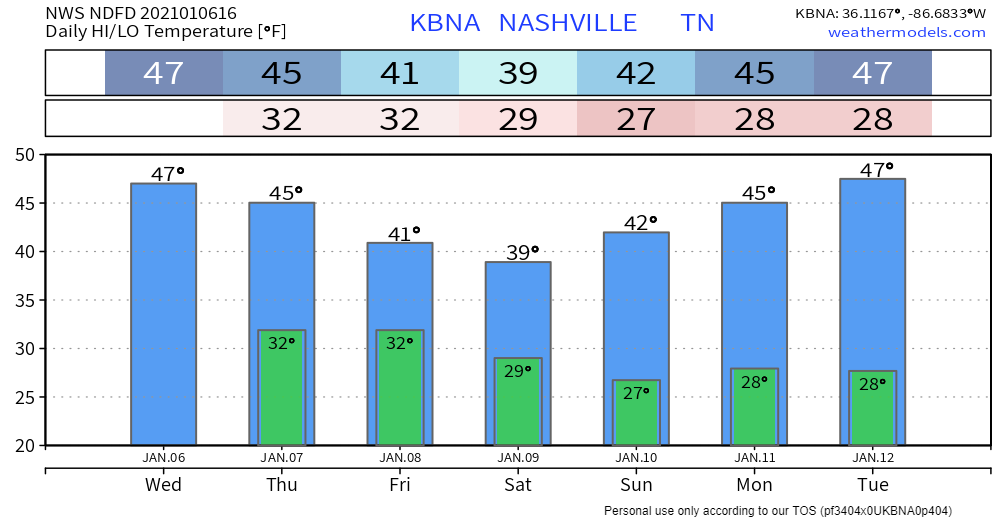
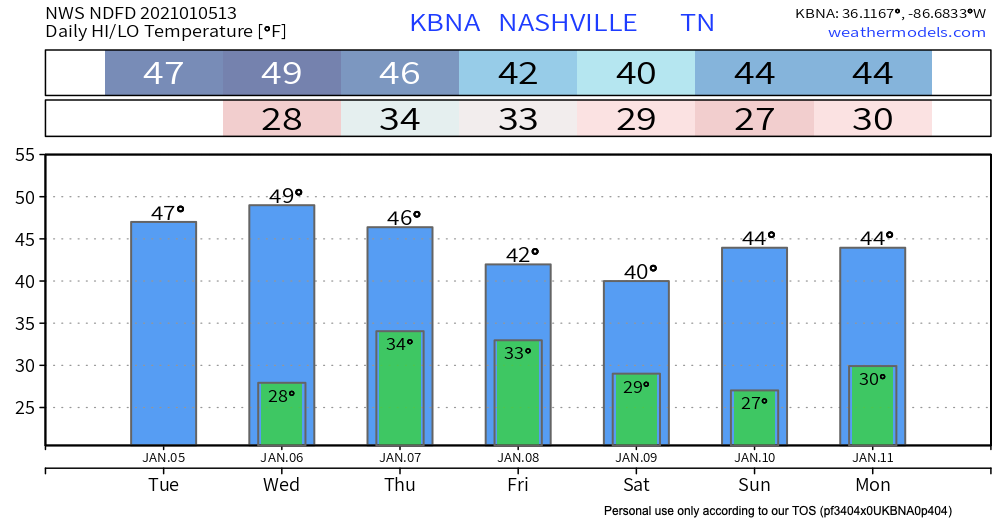
- Temperatures. South of us, snow is likely Monday morning. We may be too far north to get snow. Snow may not even extend into Will Co, much less Nashville, but it’ll be close. If snow gets far enough north, by mid-morning surface temps may warm into the mid-30s, causing any flakes to splat:melt. It may even get warm enough to change snow to rain. Noon temps around 35, upper 30s possible Monday afternoon.
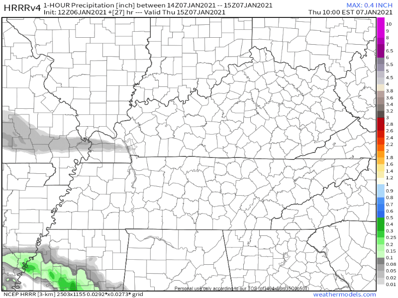
- Moisture. Most moisture will be well south of us. We will get the northern edge. If we had more moisture incoming, temps wouldn’t rise as fast. But moisture is limited, so those at elevation (hills, on bridges and overpasses) may be the only spots cold enough to collect snow. There’s just not enough “stuff” there to tap to make a good snow event.
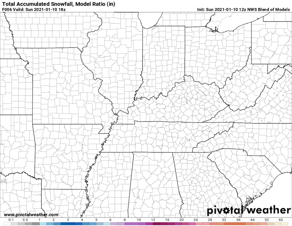
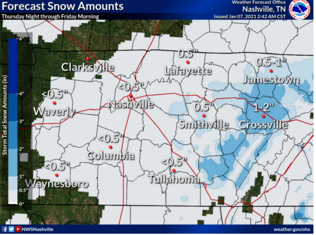
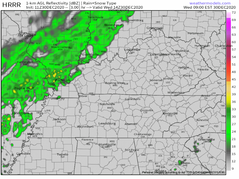
NWS-Nashville make no changes to its snow total forecast. Under a half inch, which includes us getting nothing. Most of those north of I-40 get shut out:


You must be logged in to post a comment.