Category: Featured Blog

Storms Today: Hazards, Timing

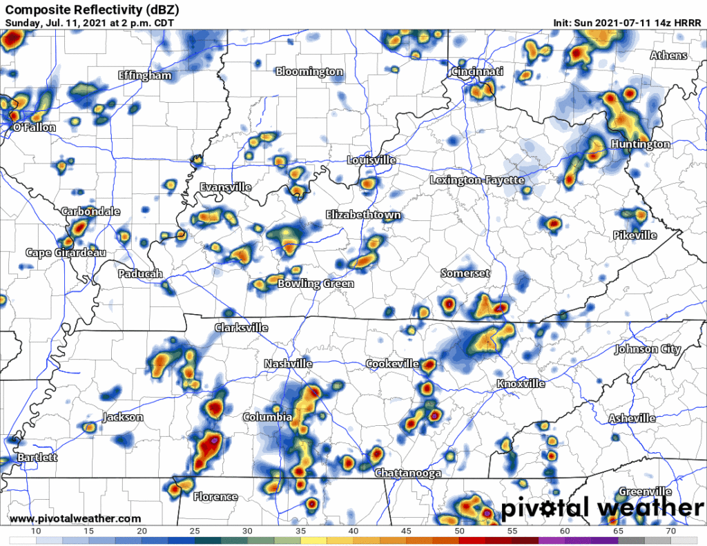
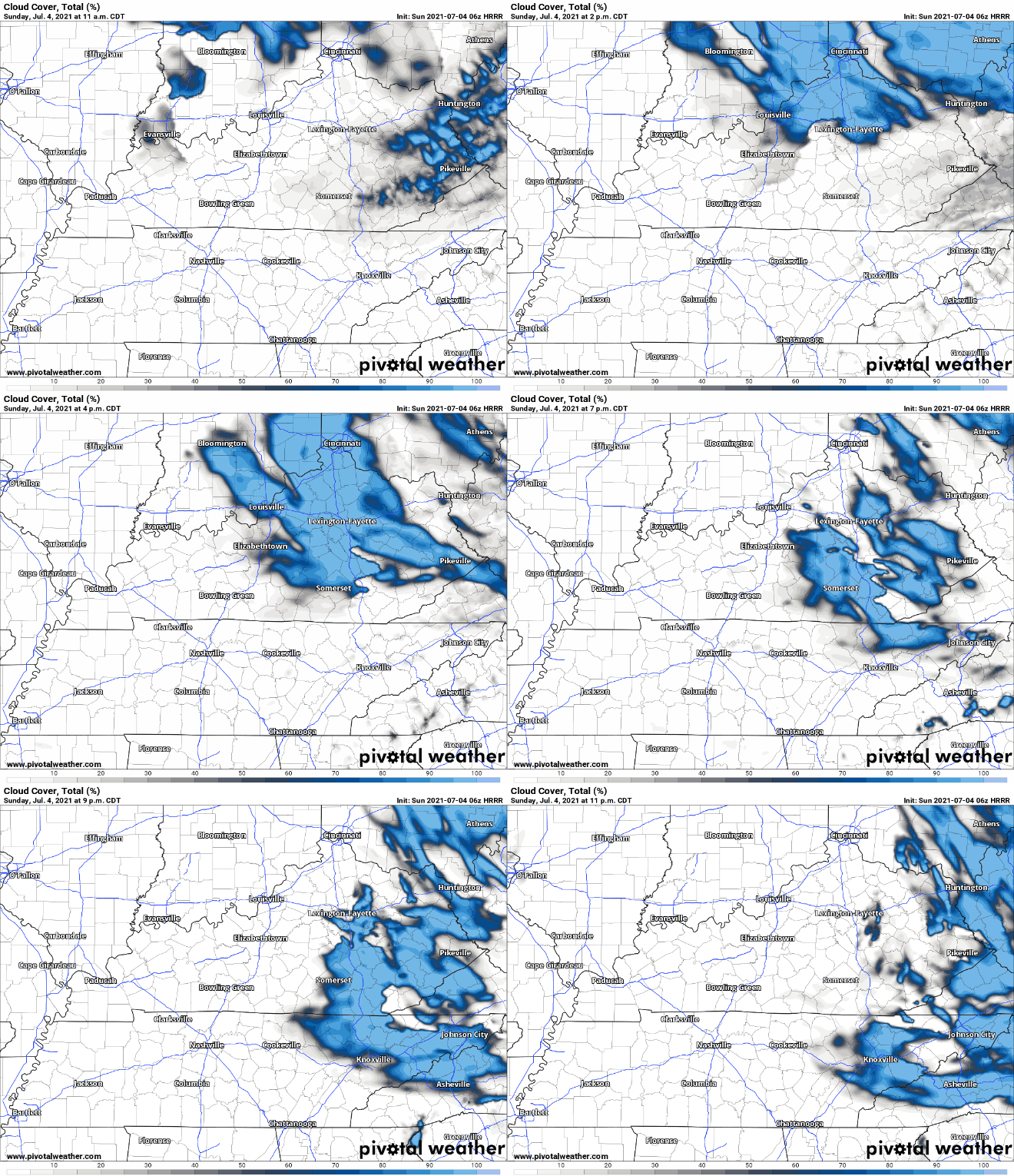
A cold front moving east will collide with our humid airmass to bring activity delaying lightning, heavy rain in some spots, and — potentially — damaging straight line winds.

What to Expect:

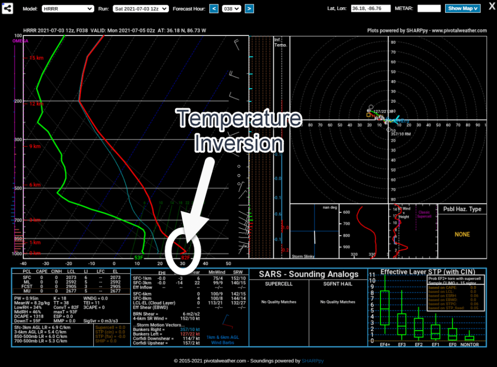
We do not expect tornadoes. We’re excluded from SPC tornado outlooks and NWS-Nashville forecasts and graphics. This is because forecast data (see below) does not indicate a tornado-hospitable atmosphere as storms arrive. read more

Nice and Dry… For Now

The cold front that passed through yesterday has left us some dry and cool air, which continues until the weekend.

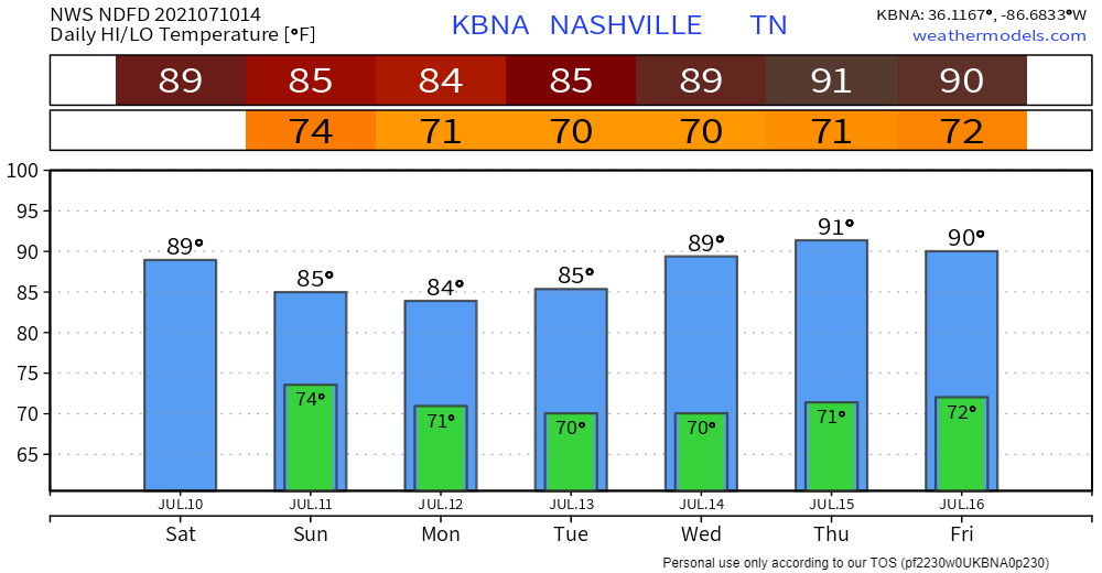
Friday, the cold front that brought us this cool and dry weather will have moved well off the east coast. Two things will happen after this. 1, we will warm up significantly (dewpoints and temperatures). 2, we’ll be watching the Gulf Coast to see when/if a tropical system will make landfall. read more

A Cold Front? But It’s 90 outside!

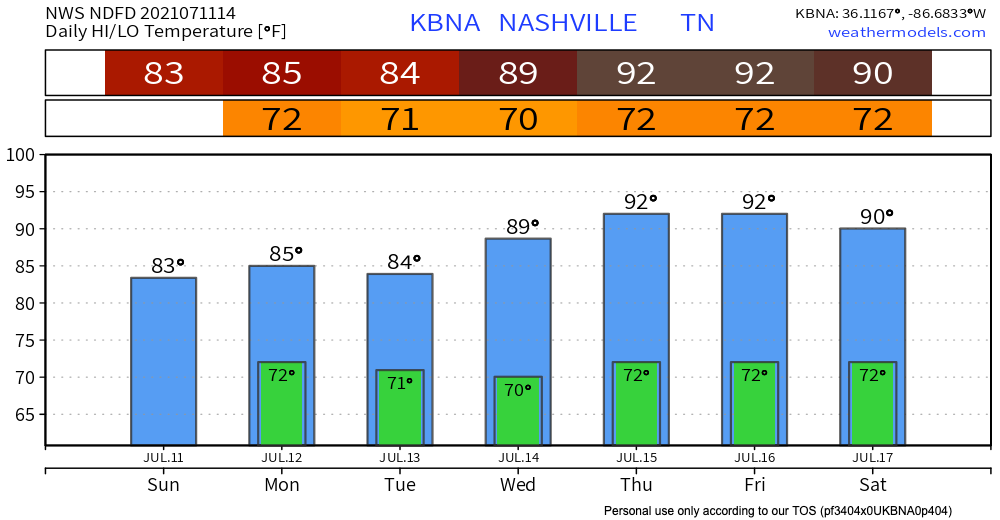
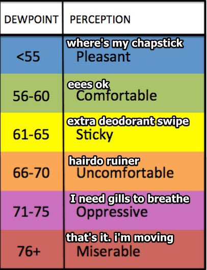
Temps up into the 90s this afternoon. Heat index is expected 99 degrees. Dewps in the low to mid 70s are oppressive according to the scale below.

Most of the morning and afternoon will be free of rain. If you’re thinking it’s about time, don’t get too ahead of yourself. Scattered thunderstorms are STILL a possibility with a cold front passing through the area late this afternoon. read more

Why can’t it be gross during the week and awesome during the weekend?

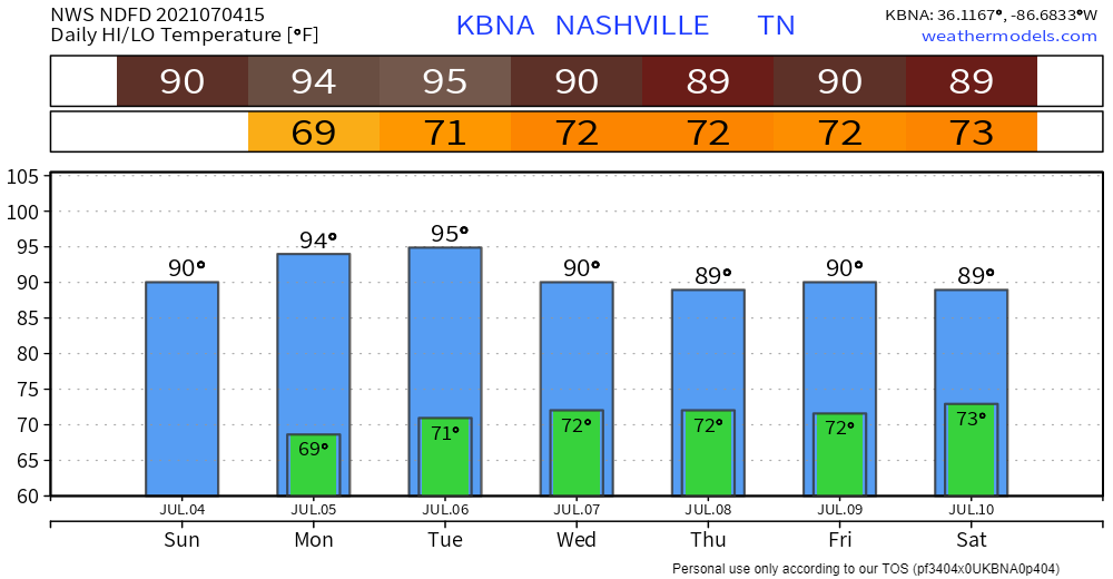
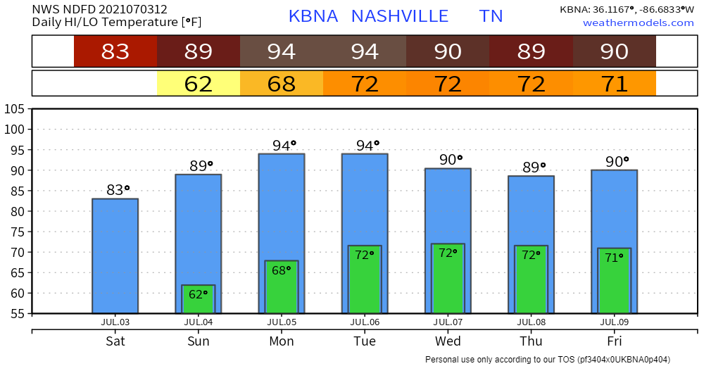
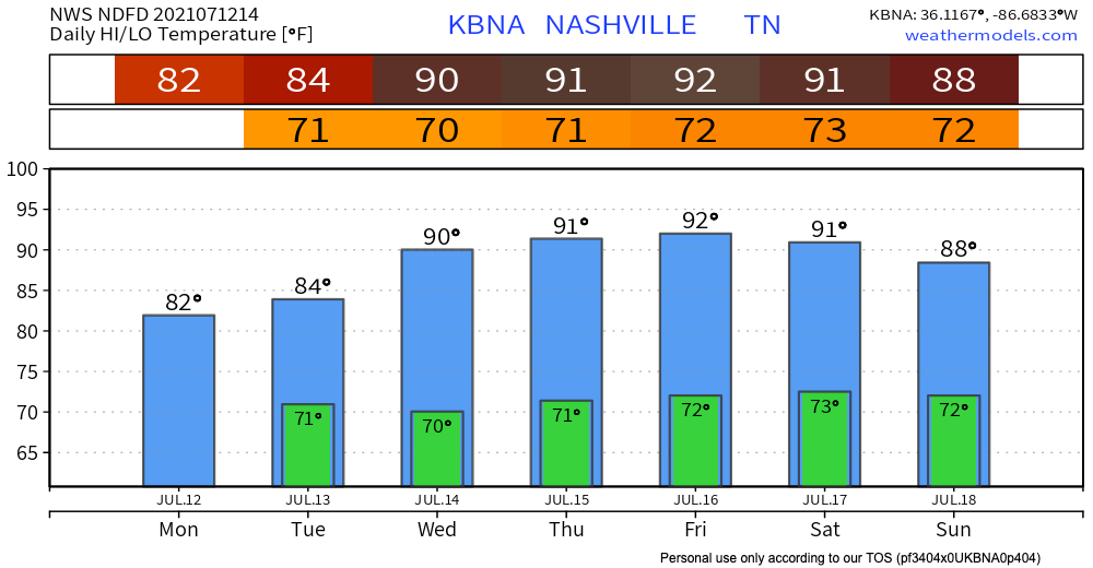
Low 90s temps in the shade this afternoon and Sunday afternoon.

Low 70s dewpoints this weekend. Heat index up to 99.

First Real Hot & Humid Days of 2018: Today, Monday, & Tuesday. Then a  Decent Chance of Rain. - Nashville Severe Weather
My modified dewpoint translator, not as good as the OG but whatevs here it is.

Remember, temps and that highly suss number called the heat index (anti heat index rant deleted for brevity) are for in the shade. Official high temps are always taken in the shade. If you’re out in direct sunlight, it’ll be worse, obviously. read more