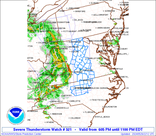
Current Radar
Hey y’all. Good morning, or afternoon if you’re reading this, you know, in the afternoon.
Today looks like the better weather day.
Temps/Humidity
Today looks tolerable, low 90°s with mid-60°s dewpoint, pretty common in July. No big deal.
Tomorrow and this week, however, the dewpoint will be near 70°, which means very humid conditions. As for temps, clouds will cover up the sun and keep highs around 90° Monday and Tuesday, but as the skies clear and we return to normal July weather Tuesday and beyond, temps rise into the mid-90°s. We’ll be close to heat advisory levels then (those are issued when the heat index gets to 105°).

Rain & Storm Potential
Sunday
The worst of the weather will be north and northwest of us. Blame low pressure in Oklahoma and Nebraska, and, extending from that, a warm front:

We are too far away from the warm front for a high probability of strong/severe storms, or really even much rain. However, because we are on the south side (the warm side) of that front, rain and storms can — and probably will — develop somewhere in Middle Tennessee this afternoon and tonight.
Where/When? We don’t know.
Here’s what the models show:
HRRR model gives us off/on showers today. Notice the heaviest stuff north and northwest of us:

This is as rainy as the NAM4 model gets for us today:

Hopefully, your crap apps are showing around 30% probability of precipitation. I think that’s a fair number. The greatest risk of getting thirty-percented is in the mid/late afternoon hours, when instability is greatest.
Independence Day
Remember that low (the red L circled) on the map above? Well, by Monday, that low moves east. It’ll still be north of us, and the corresponding warm front will also still be north of us, but because the low will be closer, our rain chances will increase.
NWS-Nashville cuts right to the chase:
Coverage of thunderstorms in Mid Tn is expected to peak Monday evening, likely impacting Independence Day events. Some storms could be severe, with gusty winds being the main concern.
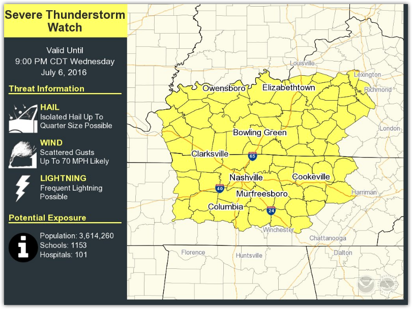
The current outlook from the Storm Prediction Center puts the larger risk of severe weather in Kentucky:

NWS-Nashville cautions:
Right now, SPC shows a marginal risk for Mid Tn with the slight risk to our north. It does look like the greater coverage and intensity of storms will be located to our north, but the slight
risk area may need to be expanded southward in updated outlooks. read more