
Windy, otherwise beautiful Sunday. High 59.
Rain incoming. Heaviest Monday, then again Wednesday & Wednesday night.
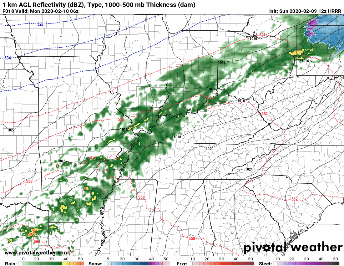
Monday’s Rain
ETA early Monday morning before the AM commute, lasting off and on into the evening, but as far as we can tell, mostly “on” during this time.


You must be logged in to post a comment.