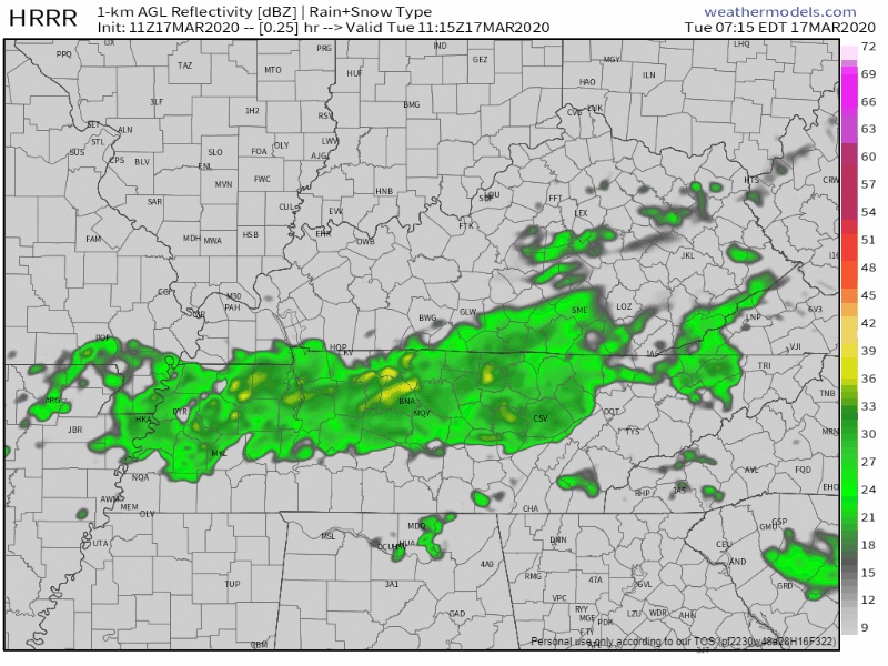
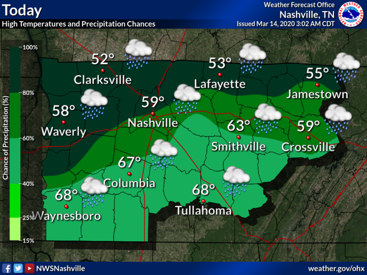
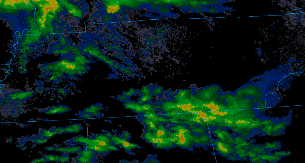
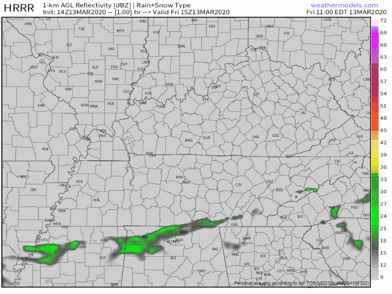
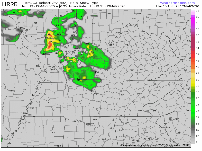
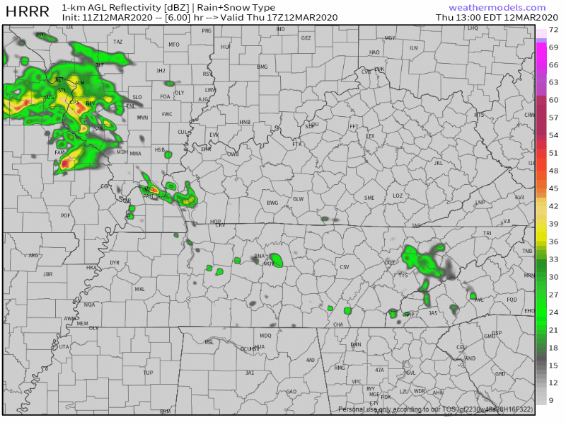
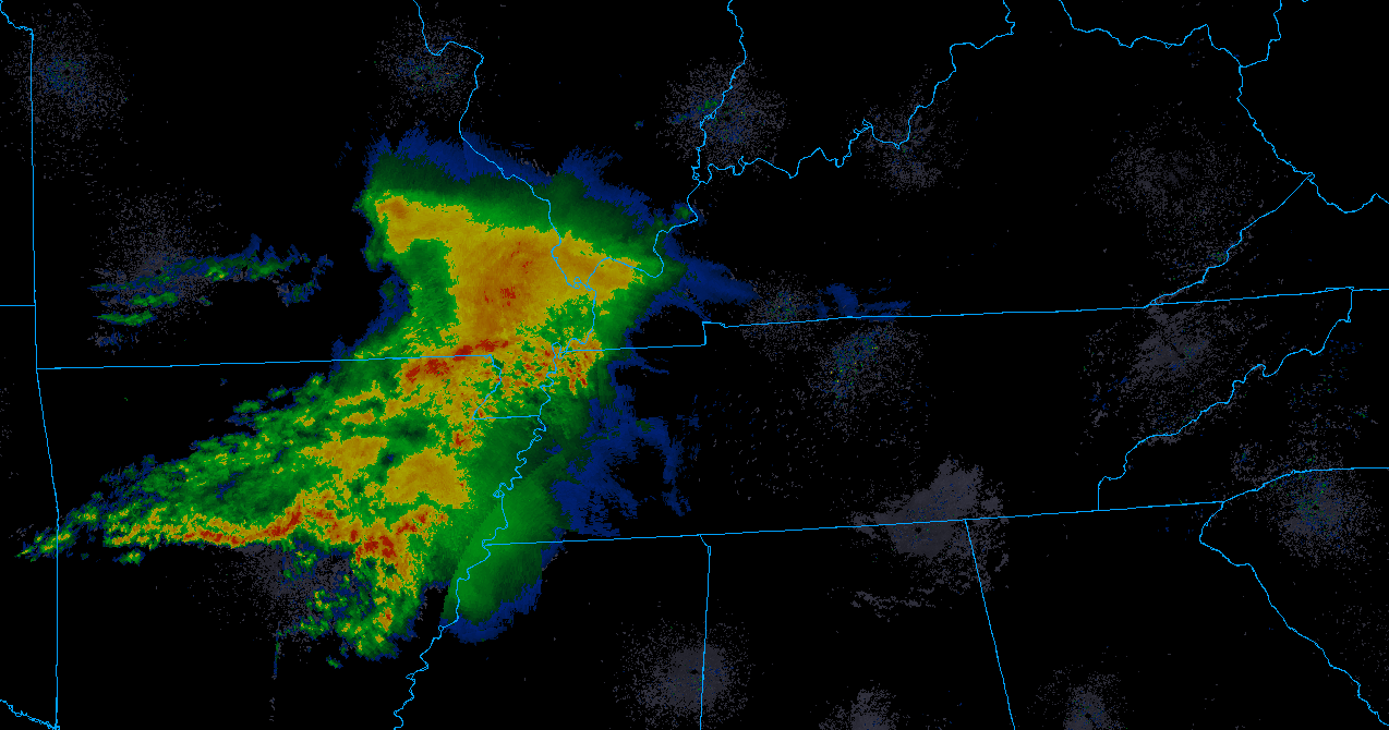
Showers And Storms Through Mid Next Week

Friday

Rain, rain go away. I know it’s Friday and the start of the weekend, but outdoor plans might be out of the question for this evening.

Scattered showers and thunderstorms will be moving through Middle Tennessee mainly after noon and into this evening. Here’s the latest HRRR model, showing these pop up thunderstorms putting a damper on our Friday afternoon and evening: read more

Scattered Showers and Storms Possible Today through the Weekend, Cooler Temps Arrive Tomorrow

Thursday

High temperature for today? 92°.

Dewpoint temperatures? Lower-70s. In other words, gross.

Scattered showers and storms? Possible.

The HRRR model thinks we could see a couple of showers today, with a majority of the rain moving into the area tomorrow morning. read more

Hot and Steamy Wednesday; Cooler Thursday into the Weekend with Storms

Wednesday

Another hot and steamy day is on tap as winds from the south continue to pump hot and humid air into the region. High temperatures will top out at 96 degrees with heat index values between 100 and 104. This is right below the threshold for a Heat Advisory, but it will still be oppressive out there. read more

Very Hot & Humid, Rain Coming in this Week.

Hot Tuesday

The heat index should reach 105° just west of us. They get the Heat Advisory. We don’t.

We just missed out.

Our heat index should reach up to 104° in Nashville & Will Co today, thanks to the combination of our high temperature of 96° and dewpoint values in the low 70s. read more

Hot and Humid; Rain Chances Increase Each Day This Week

Monday

Hot and muggy, with a small chance of a pop-up storm this afternoon.

High could reach the mid-90°s today with dewpoints settling around the low-70°s.

Most of the rain today, if any, will be due to (1) day-time heating, typical summer, and/or (2) weak shortwave moving through. This could encourage storm development, but not by much. read more

Air Quality Alert Today; Free Perms, Swamp Heat, & Probably Some Rain/Storms This Week; Cooler/Drier than Normal Start to September

“AIR QUALITY ALERT”

Sounds like a locust swarm or volcano eruption. It’s not.

It’s a Code Orange Health Advisory, otherwise known as being a Tennessee Volunteer football fan (save us, Jeremy Pruitt), but really, it’s issued by the Tennessee Department of Environment and Conservation and: read more

HOT WEEKEND AND EARLY WORK WEEK, CHANCE OF SHOWERS RETURN WEDS PM

TODAY

Hot and sunny, with a high of 94º. Heat index values will rise to 98º. read more

Hot And Dry This Weekend, Rain Chances Return Next Week

Friday

It’s a quiet and hot one out there today! The high today will be around 93° and mostly sunny. Dewpoint values will be in the mid 60s, so a little sticky, but not unbearable.

These high temperatures over 90° will continue over the next few days as we progress into the weekend. read more

Clear for the Rest of the Week; Rain Chances again by the Weekend

Thursday

We will see temperatures in the lower 90°s and dew points in the mid 60°s.

It will continue to be hot, with temperatures at or above 90°F for the next 7 days.

Live on the Green

They’ll be starting with the first performance tonight at 6 PM, going through until 11 PM. Should be clear tonight with lowered dew points and the temperature should drop quite nicely.  read more

Mostly Sunny Skies After Today, Heat Ramps back up this Weekend

Wednesday

Overall, a nice day.

Note that dewpoint temperatures will linger in the mid to upper-60s, so it’ll be uncomfortable out.

Can we expect any rain? Nah.

The HRRR model shows some brief scattered showers in the area, but most of us won’t get caught underneath one of these. read more