
The Kids
From the Editor: We’ve heard from several who are in the process of healing from the tornado that came through our city. Thank you for sharing your stories with us. We read them all. We’re right there with you. One theme we’ve picked up on is that the kids are also going through processes of grief as well. Maybe your kids are. Below you’ll read about a low chance of severe weather in the forecast. We know, while the chance of severe weather is low, that will cause some concern among those (including kids) who are processing last week. Perhaps you’re looking for some resources to help guide your kids through what happened. Below are some links that came our way. We hope they help.
Parent Guidelines for Helping Children After A Tornado
After the Tornado: Helping Your Children Heal
Teacher Guidelines for Helping Children After A Tornado
Drying Out For This Afternoon, Some Rain Late Wednesday
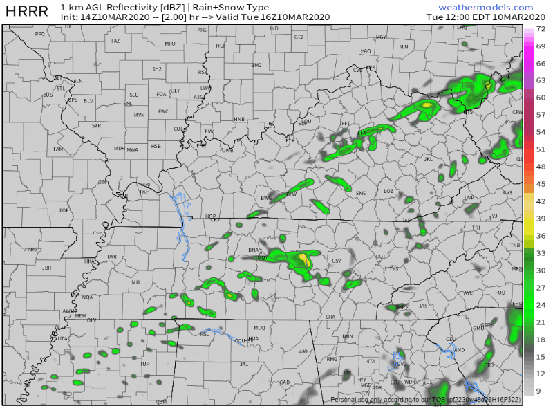
The last bit of rain is pushing it’s way out of Middle Tennessee mid-afternoon ahead of a cold front pushing through. Here’s the HRRR:
Even though a cold front is moving through today, we’re not going to get much cooler. We’re up to 66° for the high, then temperatures drop into the low 50s and mid 40s by morning.
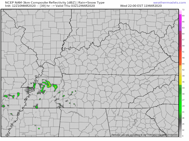
We’ll stay dry throughout Wednesday morning and afternoon, maybe a little bit of sun as well if we’re lucky, 66° once again for the high. A few showers will make their way to us around 11PM-1AM Wednesday night. The NAM illustrates that for us:
Storms Rolling In Thursday
More specifically, Thursday afternoon into Thursday night. Exact ETA’s are still up in the air. Here’s what we do know about Thursday’s storm potential.
We’ll be up to 72°, before a cold front pushes through, bringing the chance of storms. Forecast data still isn’t in agreement, but will become more accurate as we get closer to Thursday.
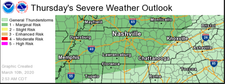
The Storm Prediction Center is giving us a 5% risk of seeing severe storms within 25 miles of you. The atmosphere will be unstable enough to support a few strong to severe storms, but the main threat the NWS-Nashville wants you to know about is the damaging winds and hail.

Secure loose objects, tarps, and recovery equipment in case we get a storm or two on Thursday night.
[Editor’s Note: We know a forecast that includes any thunderstorms at all might cause some anxiety, maybe a lot. We have no reason to believe the weather on Thursday will produce a repeat of what we experienced last week. We are still a couple of days out. For now, continue doing what you’re doing to heal. We’ll keep an eye on Thursday for you. Check back tomorrow. We’ve got you.]
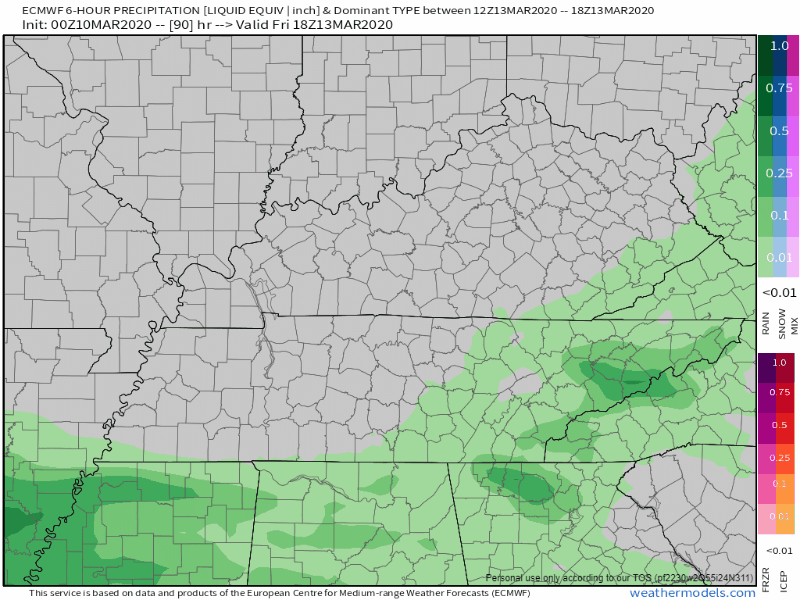
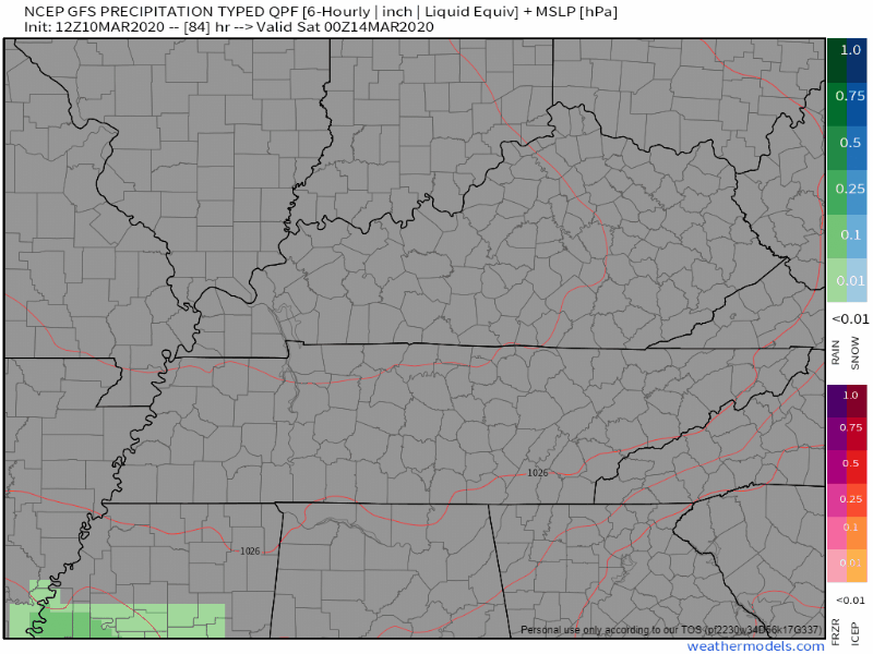
Rain Friday And This Weekend Still On The Table
Most forecast data is in agreement when it comes to Friday. Showers early, then drying off during the mid-afternoon. Cooler, but still pretty warm, 60° for the high.
However, model’s are not exactly in agreement when it comes to our rain chances this weekend. The Euro model is planning a washout for both Saturday and Sunday:
While the GFS is calling for rain most of the day Saturday, but not a complete washout for Sunday
Prepare for some wet weather this weekend either way. We’ll know more about ETA’s and better rain chances as the week progresses.

Categories: Forecast Blogs (Legacy)
You must be logged in to post a comment.