Laura, a review.
Just before 5 PM what’s left of Tropical Depression Laura was centered just north of the KY/TN line, moving east and dragging heavy rain and gusty winds along with it.

Laura was not cool today. Here’s what happened.
Just before 5 PM what’s left of Tropical Depression Laura was centered just north of the KY/TN line, moving east and dragging heavy rain and gusty winds along with it.

Laura was not cool today. Here’s what happened.
Threats Today Include Heavy Rain, Gusty Winds, and Isolated Tornadoes
The remains of Tropical Depression Laura are spinning our way. The storm has finished its trek northward, and today it will set its eyes on Middle Tennessee and Southern Kentucky as it moves east. At daybreak, the storm was at the Arkansas/Tennessee state line.
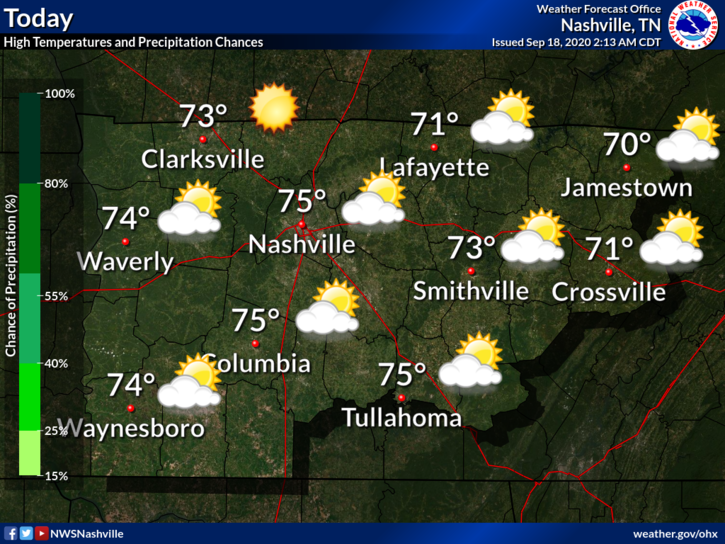
Slight chance of rainfall and storms today, but we will probably stay dry. Mostly cloudy most of the day.
High temp of 92° with a heat index of 100°. Humidity is high as Laura pulls thick, humid air off the Gulf of Mexico and into Middle Tennessee.
At 6:54 PM Hurricane Laura was seen from space in the remaining sunlight, moving NW at 15 MPH, maximum sustained winds 145 MPH.

Those are 145 MPH sustained winds; the March 3 Nashville tornado peaked at these speeds. Hurricane Laura will ram through Louisiana like a wide EF-3 tornado, carving a huge damage swath.
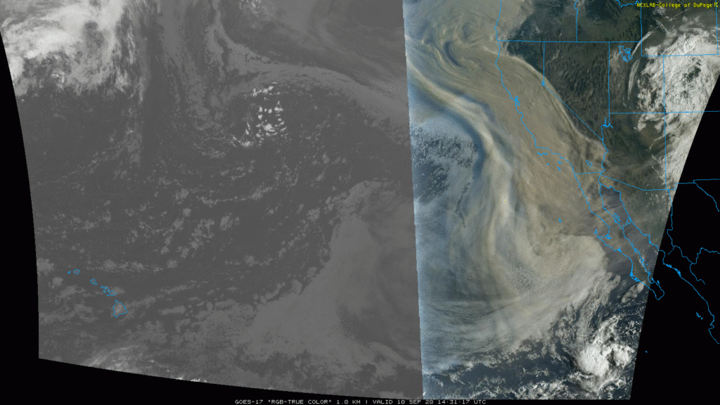
This satellite image runs through 11:51 AM. Notice Laura in the Gulf (now a Cat 3 hurricane). Also notice cold cloud tops over Middle Tennessee indicating light rain.

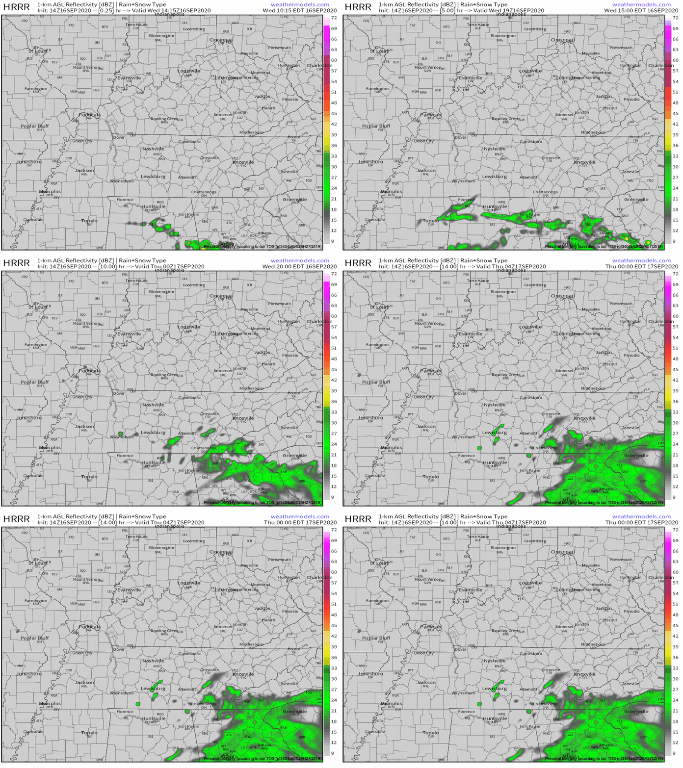
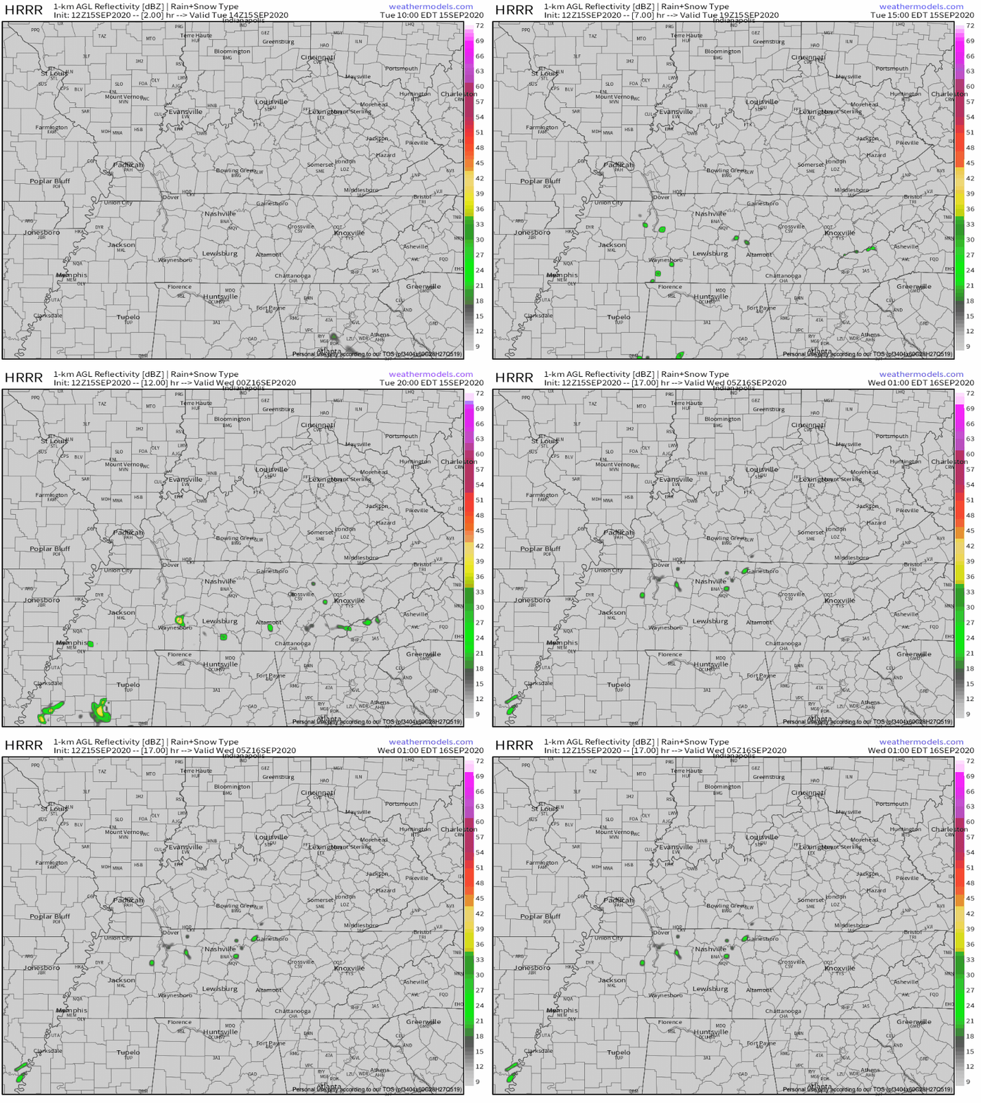
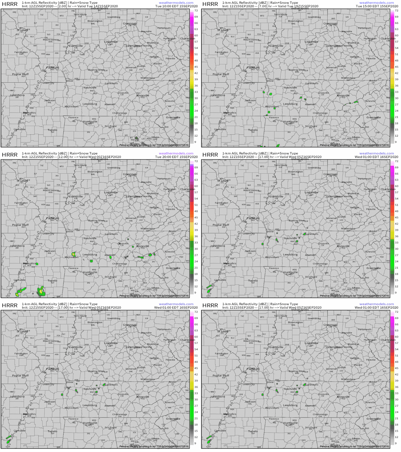
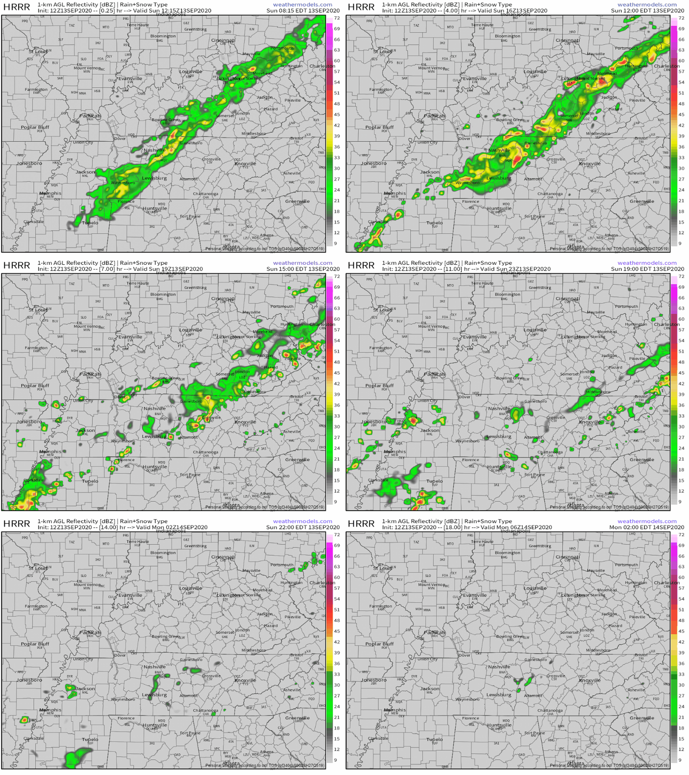
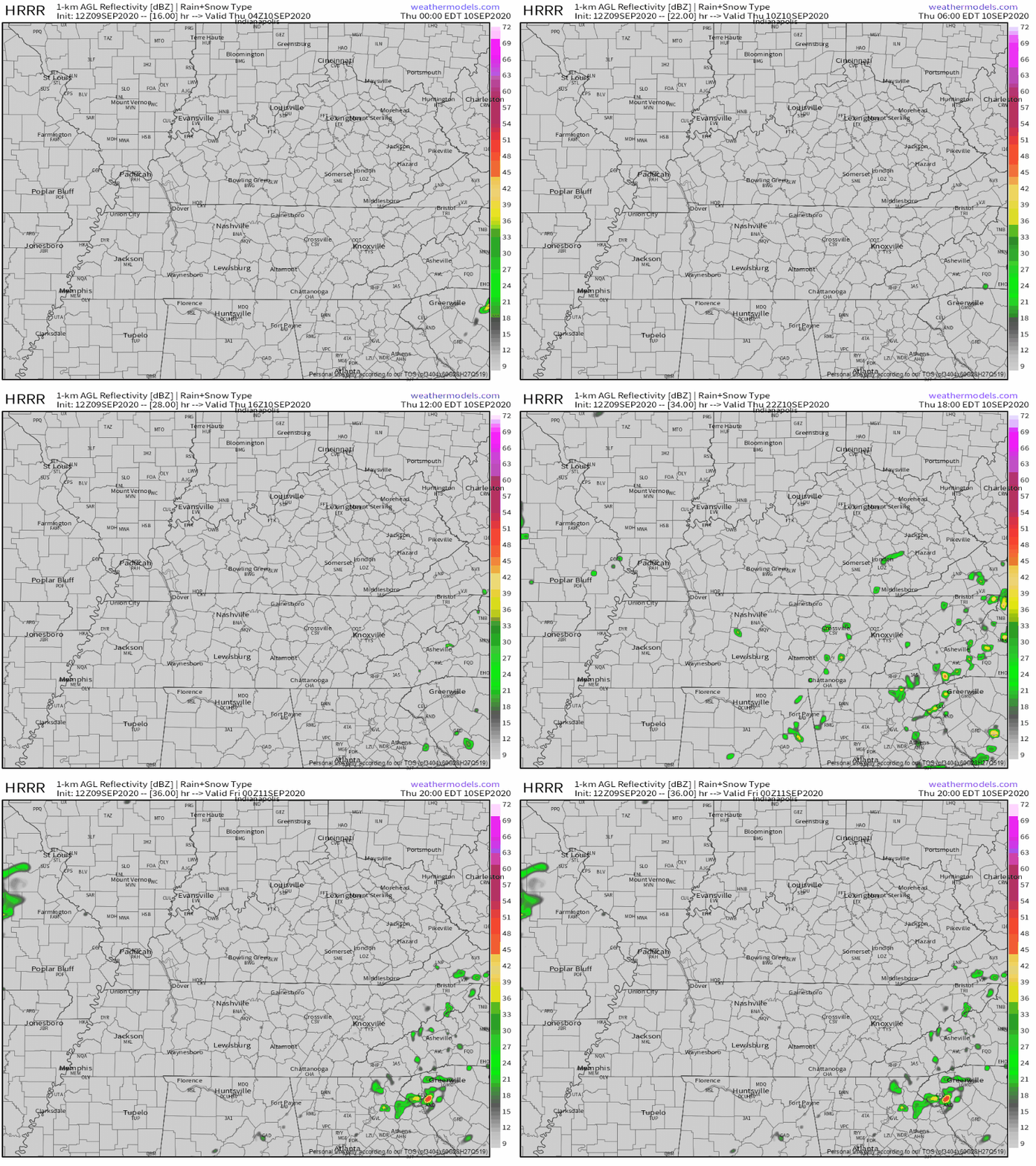
A hefty downpour to our south this morning should weaken and scatter this afternoon as the energy works north. So says the HRRR model:
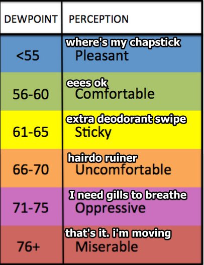
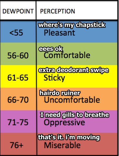
You remember those lower dew points we were seeing last week? The ones in the mid to upper 60s?
Yeah, those are gone.

Dew points are looking to to be in the lower 70s today, getting as high as 72° this afternoon. High temps will be around 91°. Now mix those together and we’ll get some heat index values reaching the mid to upper 90s.
It was 121° at Death Valley yesterday and 33° in Stanley, Idaho this morning and at 4 PM the NHC issued this Advisory calling for Hurricane Laura to be Louisiana landfalling as a Cat 2 after midnight Wednesday.
We live in a world where Aunt Becky has gone to jail and consecutive hurricanes are about to enter the Gulf and there is a pandemic and there are injustices everywhere and now you need a cup of coffee to read these words because this forecast is more complicated and frustrating than Mrs. Rich would be reading this run on sentence. I had Mrs. Rich for seventh grade English and God Bless Her, she tried really hard.
This weekend is starting off with mostly cloudy skies and nice, comfortable temperatures in the mid 70s.
We are getting another heat break today with a high temp of 82! #ThanksClouds
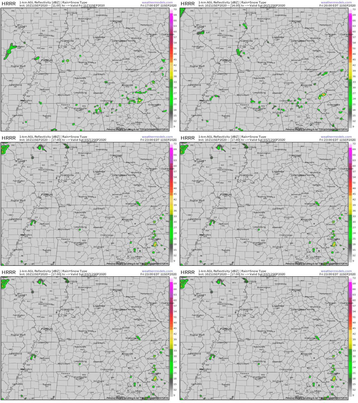
Showers and thunderstorms are possible this afternoon, but not for everyone. Looks kinda widely scattered, so the chances of most of y’all getting something are pretty low.
Low pressure system over the Gulf will lift northeastward and provide our area with plenty of showers/storms the next couple of days.
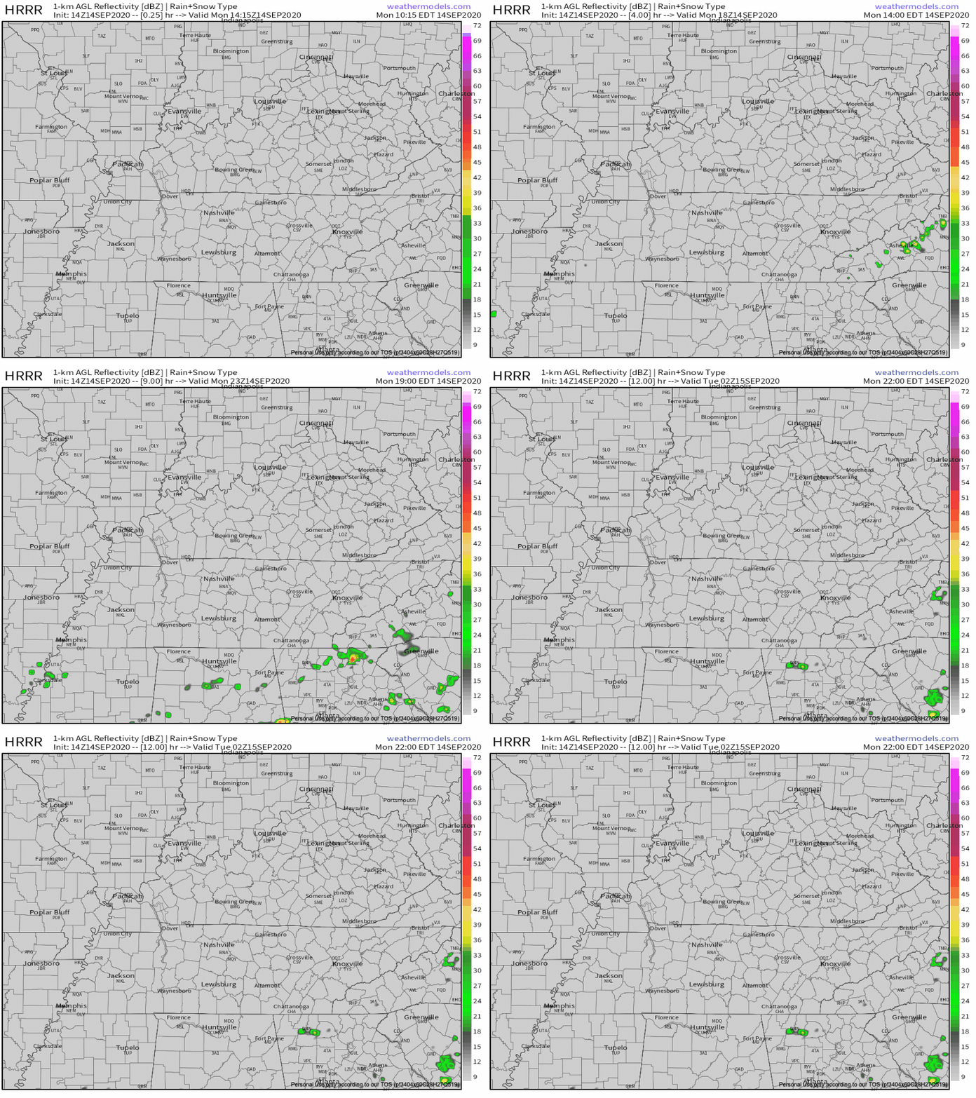
HRRR models paints a wet picture. It appears anytime after 3PM would be the best time for seeing the heavier downpours
You must be logged in to post a comment.