
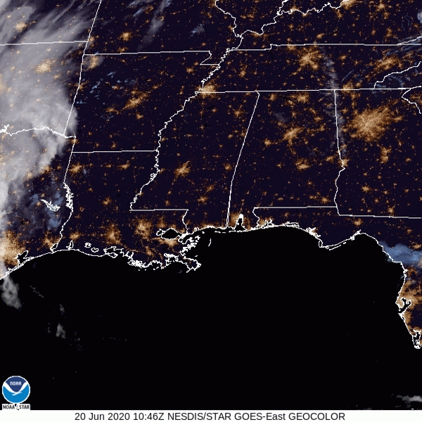
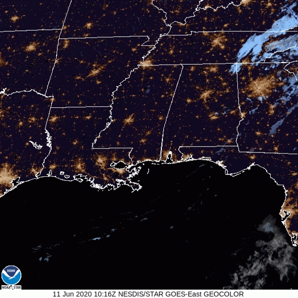
Satellite this morning showed clear skies. That’ll continue today (well, mostly):
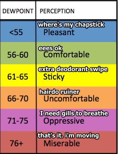
Up to 93º this afternoon with summer-normal humidity.
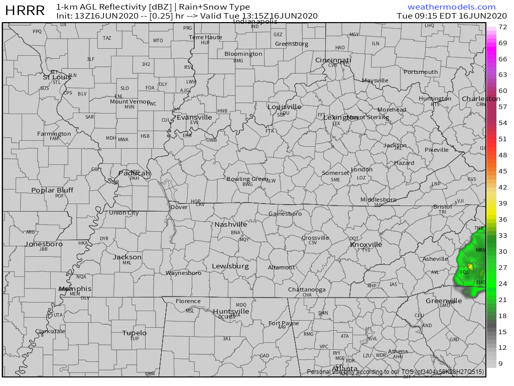
Moisture will creep in this afternoon and pop off a few clouds, maybe even give us a shower or two, but the chances of this happening to you are pretty low.


You must be logged in to post a comment.