Most of the daylight Wednesday will be dry.
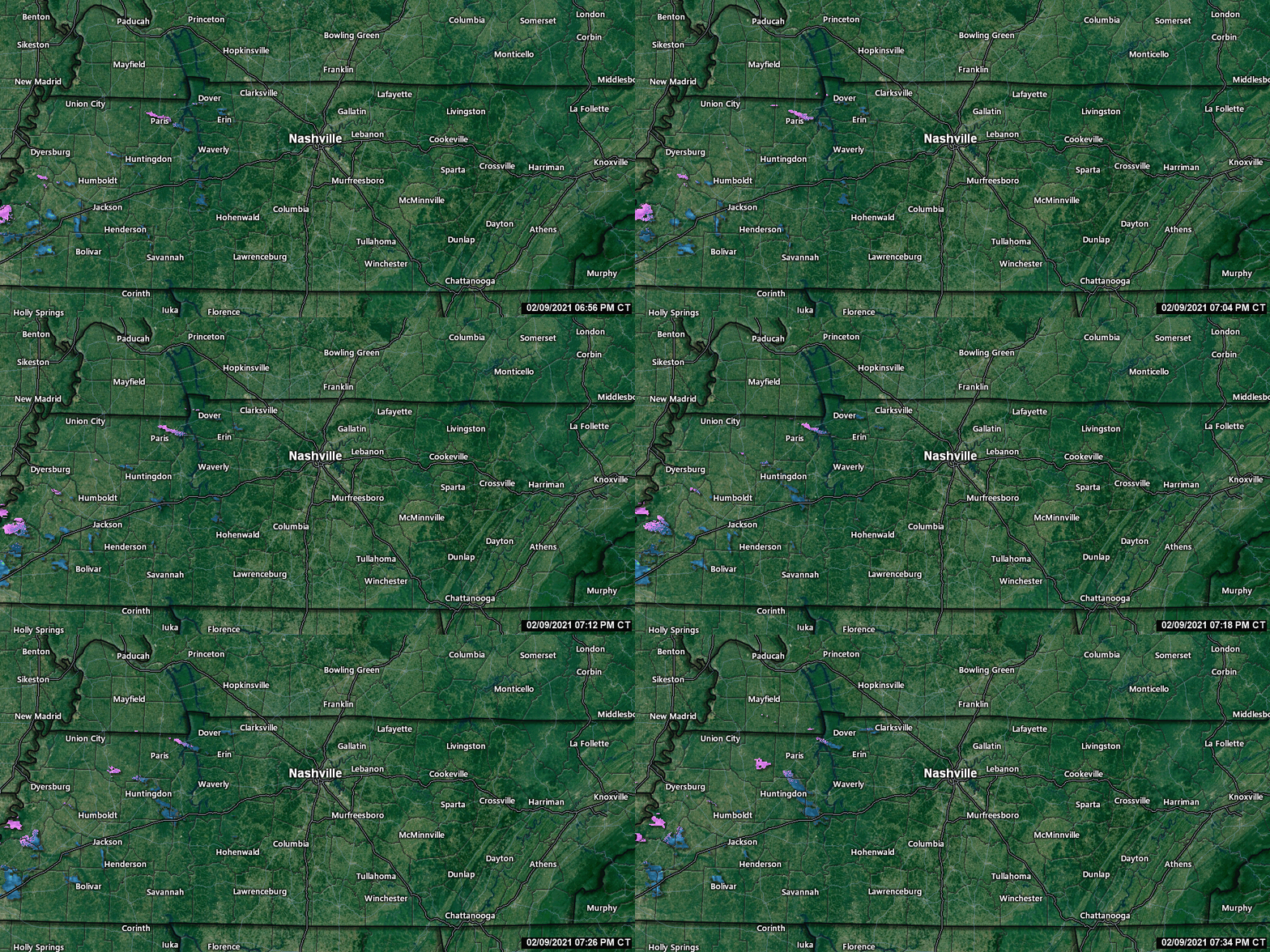
Around dinnertime or a little before, precip should be moving in. No storms. Cold rain most likely, and maybe some snow.
Euro Model (below) shows *maybe* a light rain/snow mix.
Most of the daylight Wednesday will be dry.
Around dinnertime or a little before, precip should be moving in. No storms. Cold rain most likely, and maybe some snow.
Euro Model (below) shows *maybe* a light rain/snow mix.

Temps and dewpoints will rise through the afternoon, as shown here by the GFS model:

This lifting warm front is associated with a surface low moving out of the Plains into the Ohio Valley. That low is going to drag a cold front across Middle Tennessee and set off another round of rain, and perhaps storms — some possibly severe.
Off and on rain will continue through Sunday afternoon into tonight. Light and nondisruptive, not a washout.

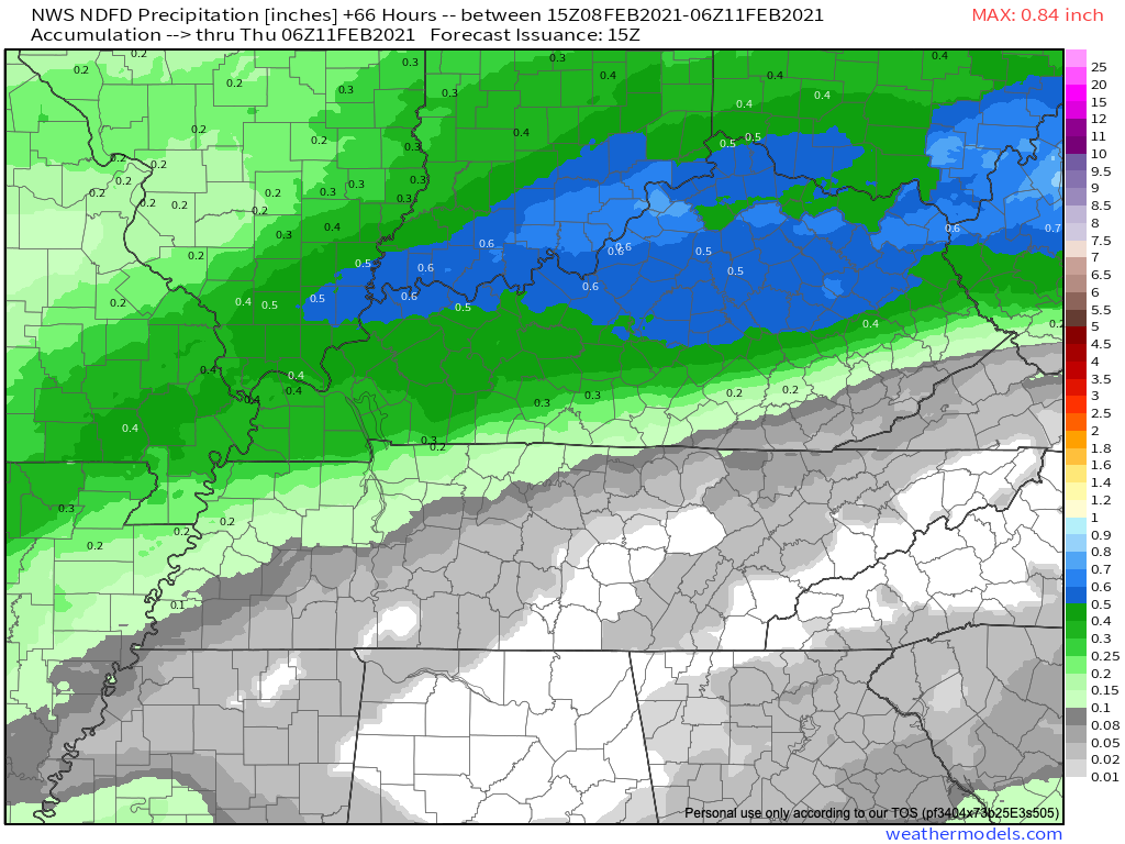
The HRRR model thinks the heavier stuff will arrive around 4 am. Either way, this is an early shift / while we sleep heavy rain event, almost 1″ expected. Isolated storms possible but nothing severe or concerning. Sleep peacefully tonight.

If you walk outside today you’ll see lots of sunshine with picture perfect skies. A great day for any activity you may have planned!

Clouds will move back in tonight ahead of the system for Sunday and Monday.
The calm before the storm. Literally.

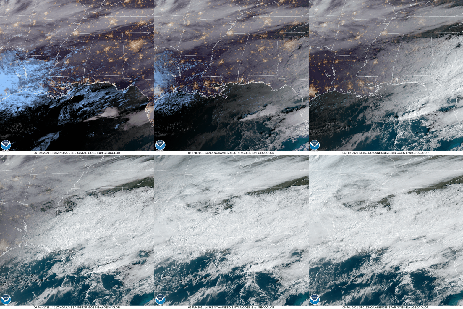
The fog has cleared up. We may see some lingering clouds today.
An absolutely beautiful day is in store on Saturday. A little chilly, but it’s your chance to get sunshine before Sunday & Monday.

The rain is sliding off to our southeast. We will have a chance to dry out this afternoon.
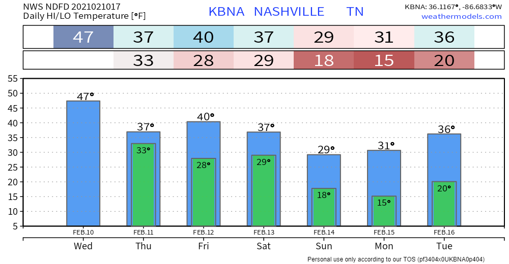
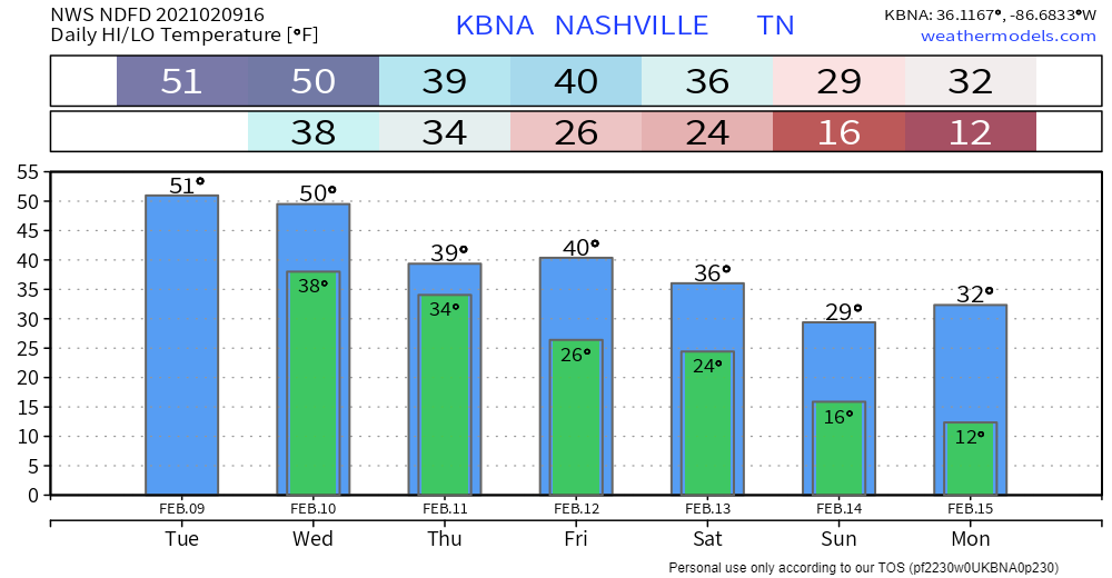
Beware of especially cold temperatures Friday night into Saturday morning! We will dip well below freezing into the mid 20’s.

Light rain showers are expected to move through Middle Tennessee after midnight but will most likely be out of the area by around 6 AM.
The rain will be light – less than a quarter of an inch accumulation.

Rain should approach late Wednesday night but there is question about whether it’ll miss us or not.
HRRR model has it going all south of us.

The Euro disagrees. It predicts a tenth of an inch or so Thursday morning:
Rain overnight tonight should stay to our north and south. But we can’t rule out a couple sprinkles falling in your backyard. HRRR model shows snow north, rain south, we’re in the middle.

Another system is coming but models disagree exactly when.

A quick blast of snow is possible around midnight. HRRR model below:

This event shouldn’t threaten your Monday morning travels or inconvenience you in any other way.

Forecast is of low confidence as models continue to be all over the place as they struggle with the upcoming fast, split flow upper level pattern.
You must be logged in to post a comment.