Category: Featured Blog

Inversions and Instability: A Look at Damaging Wind & Tornado Potential Wednesday.

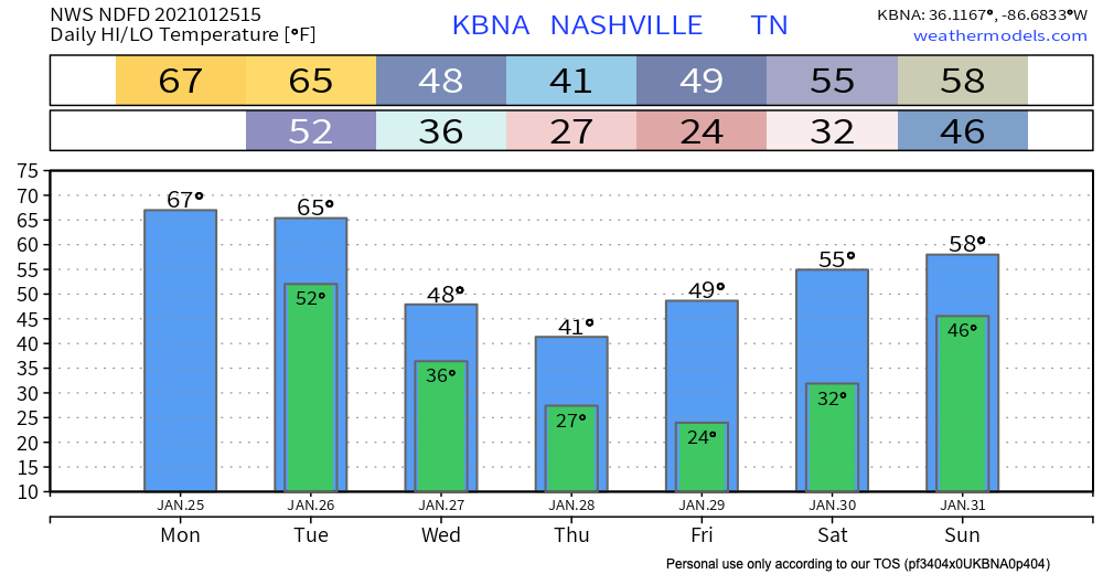
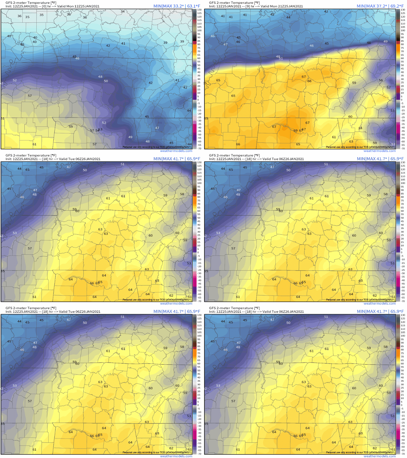
A cool, pleasant day ahead with high temperatures reaching low to mid 60’s and mostly sunny skies.

It’s a bit breezy today with a south wind at 10-15 mph gusting as high as 20 mph.

Rain and Storms Wednesday: Severe Weather Possible.

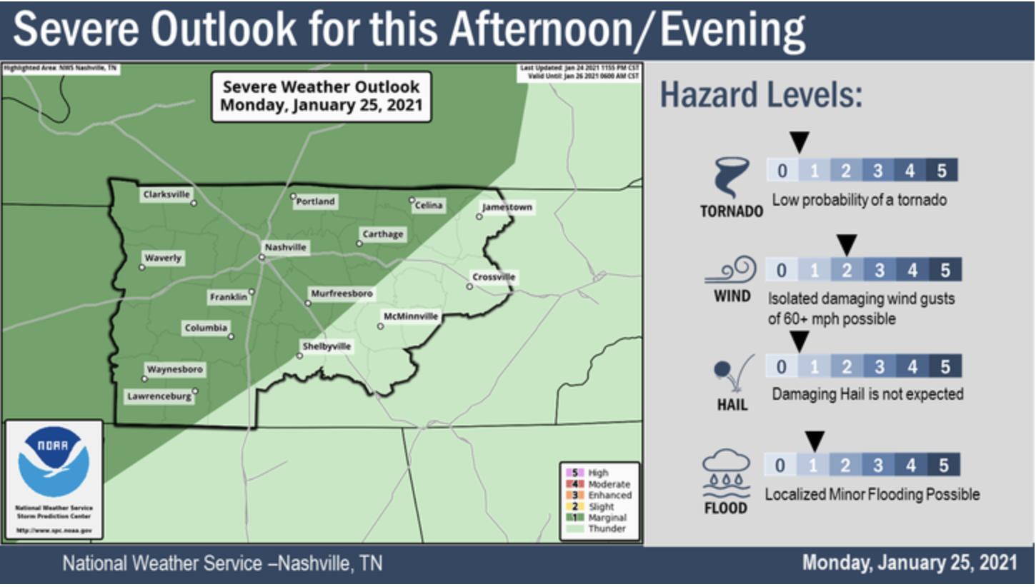
A warm front will lift across Middle Tennessee early Wednesday. Meanwhile, a strong low pressure system will move north of Middle Tennessee late Tuesday night into Wednesday, dragging a cold front through our area by Wednesday night. This sets up a rain and potential strong/severe storm event. read more

Rain Today, Cold Tonight & Monday, More Rain (Storms?) Mid-Week.

Rain Incoming

Radar as of 10:22 AM:

You can check updated radar scans here.

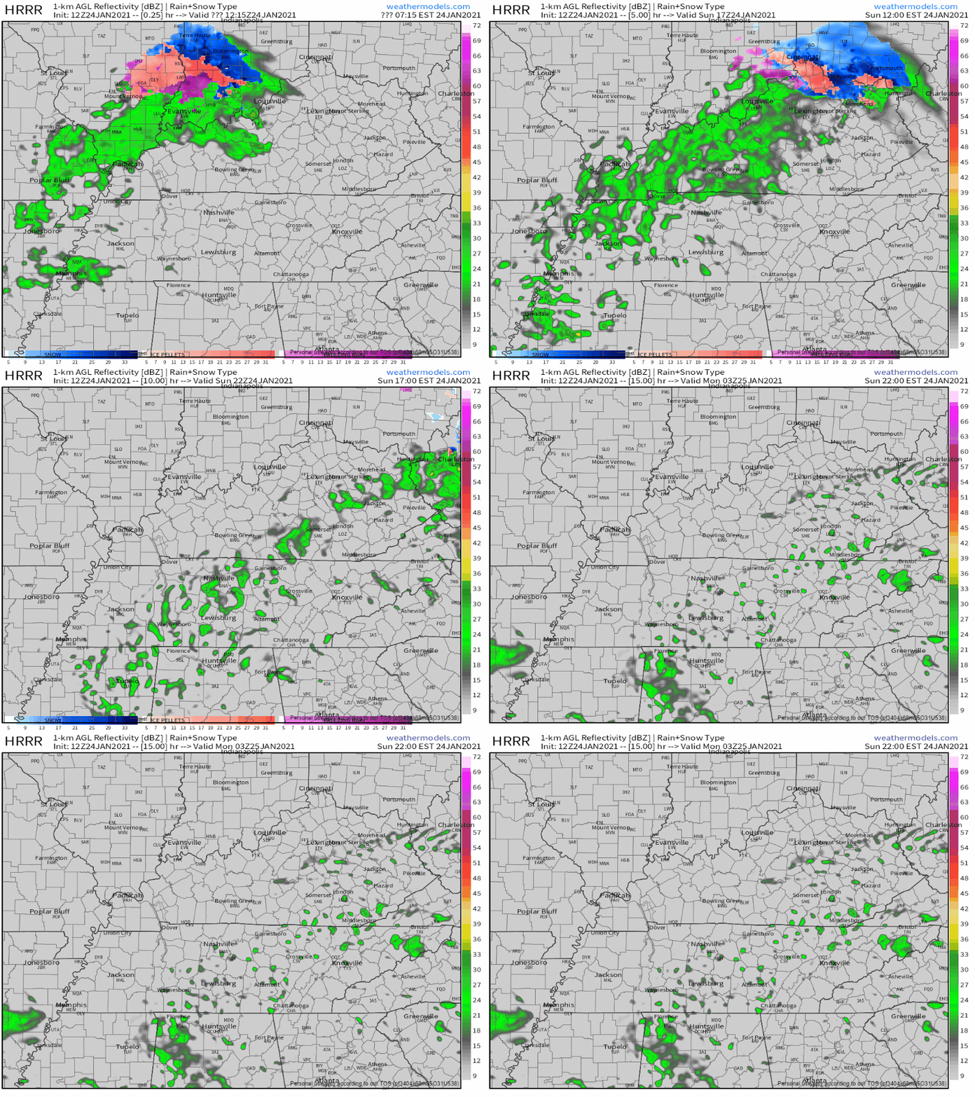
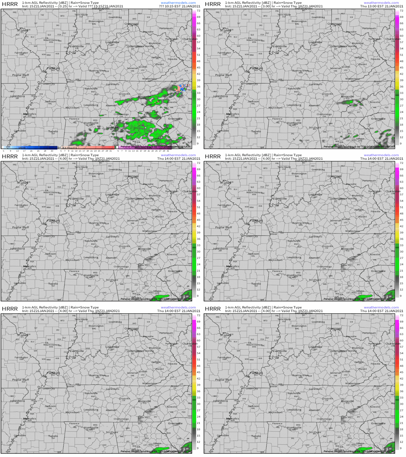
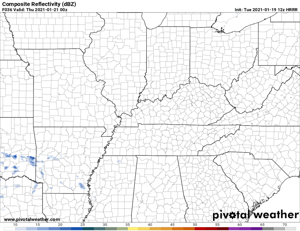
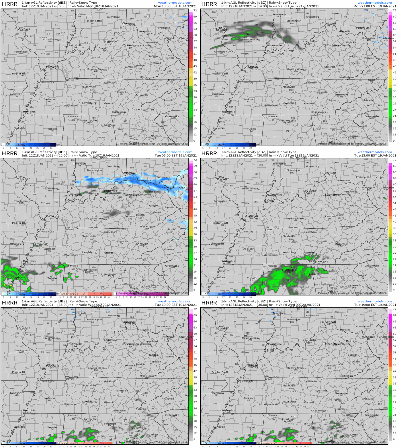
The HRRR model predicts rain this afternoon. It looks like it’s predicting more rain than we see coming on radar:

HRRR simulated radar, valid through 7pm tonight

The rain should end around dark. HRRR model is showing about 0.4″ or so (below), but expect less than that. NWS-Nashville expects about 0.25″. read more

Jordan is 9 Years Old, Missing Likely in Joelton. Freezing Temps Expected Early Wednesday Morning. (& Next Rain Chance, details here).

“Our best guess is that Jordan is in the area immediately near his home in Joelton, but the reality is he could be anywhere….Search your property….Even if you see something that looks out of place and you think this isn’t significant, it might very well be significant.” See the video below. They think he may be in a shed, outbuilding and they’re asking Joeltonians to search your property, look under a car. read more

Cool And Dry Week Ahead. Next Rain Chance Maybe Sunday.

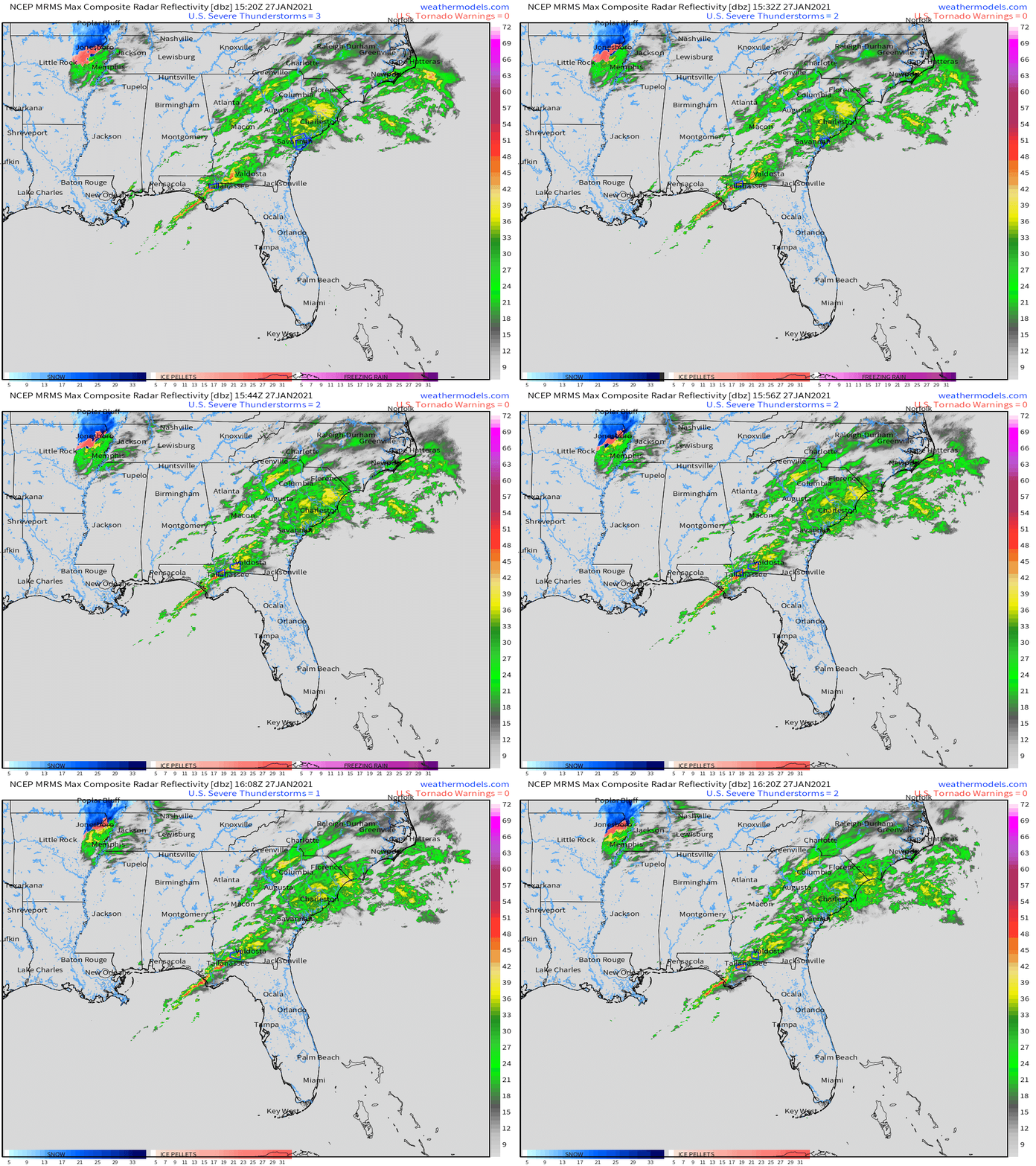
The cold front that brought us strong wind and rain Sunday morning is down in Florida.

The big blue H is high pressure. It’s in charge, causing sunshine and cold mornings this week.

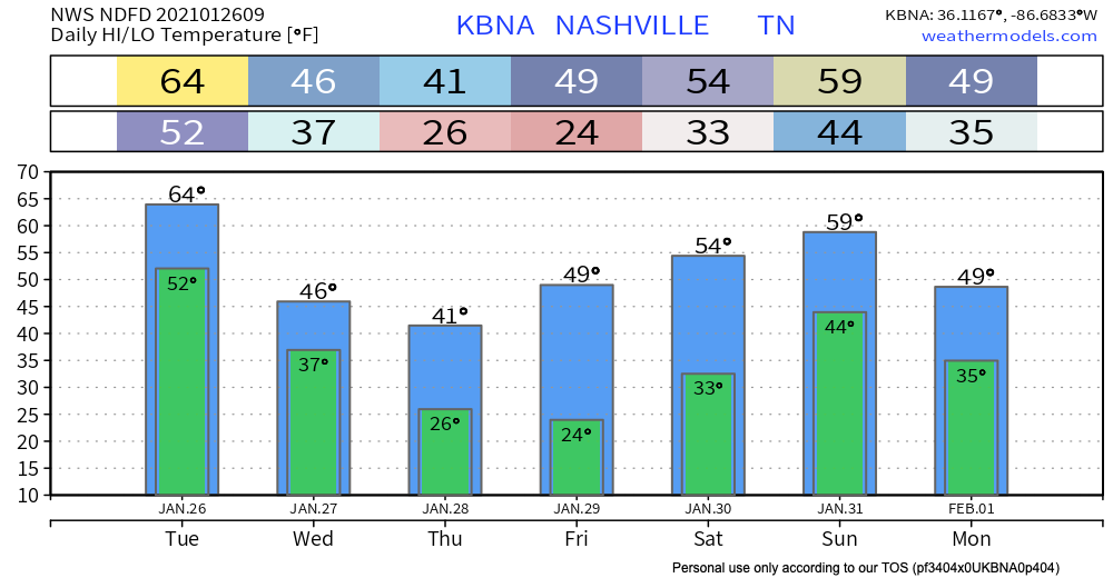
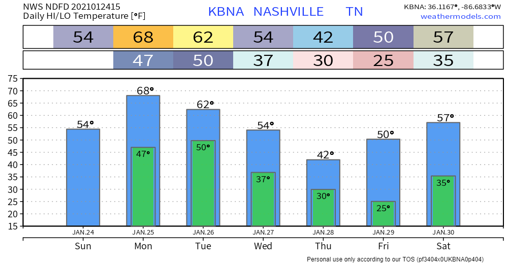
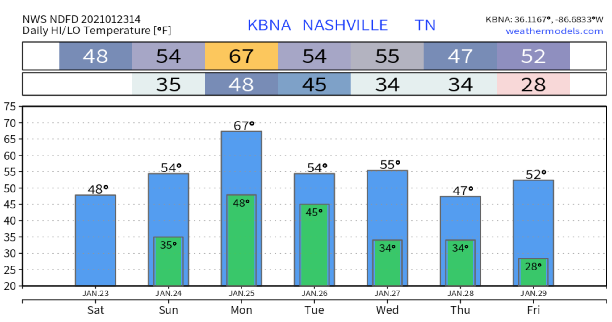
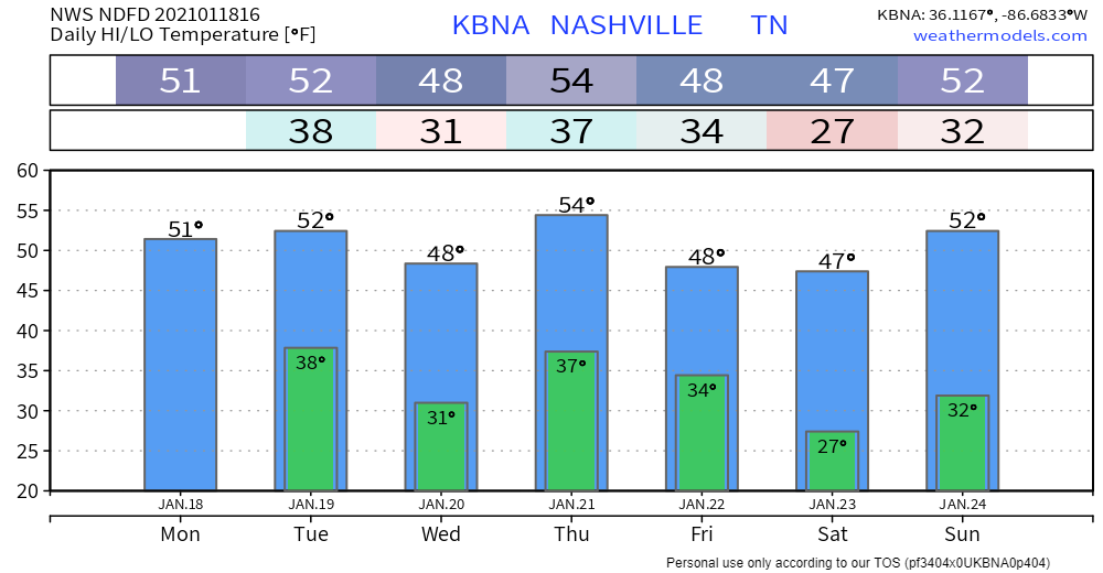
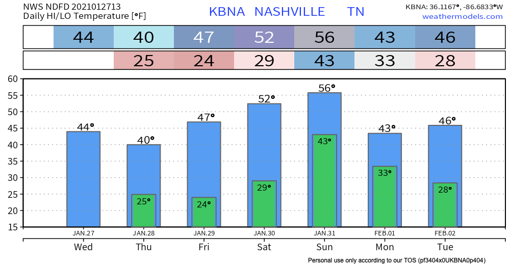
Lows will flirt with freezing in the mornings this week but then we’ll start warming into the weekend. read more