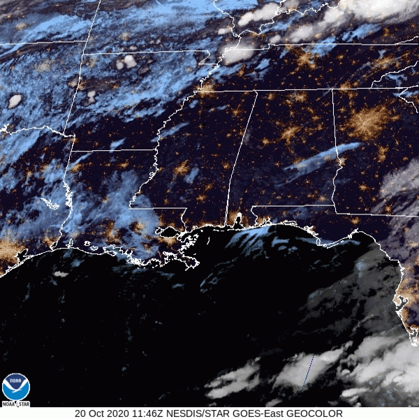
It’s a foggy, misty Monday morning. Seems about right, huh?
A slight chance for light rain/drizzle to continue for the morning, but otherwise cloud cover will stick around.
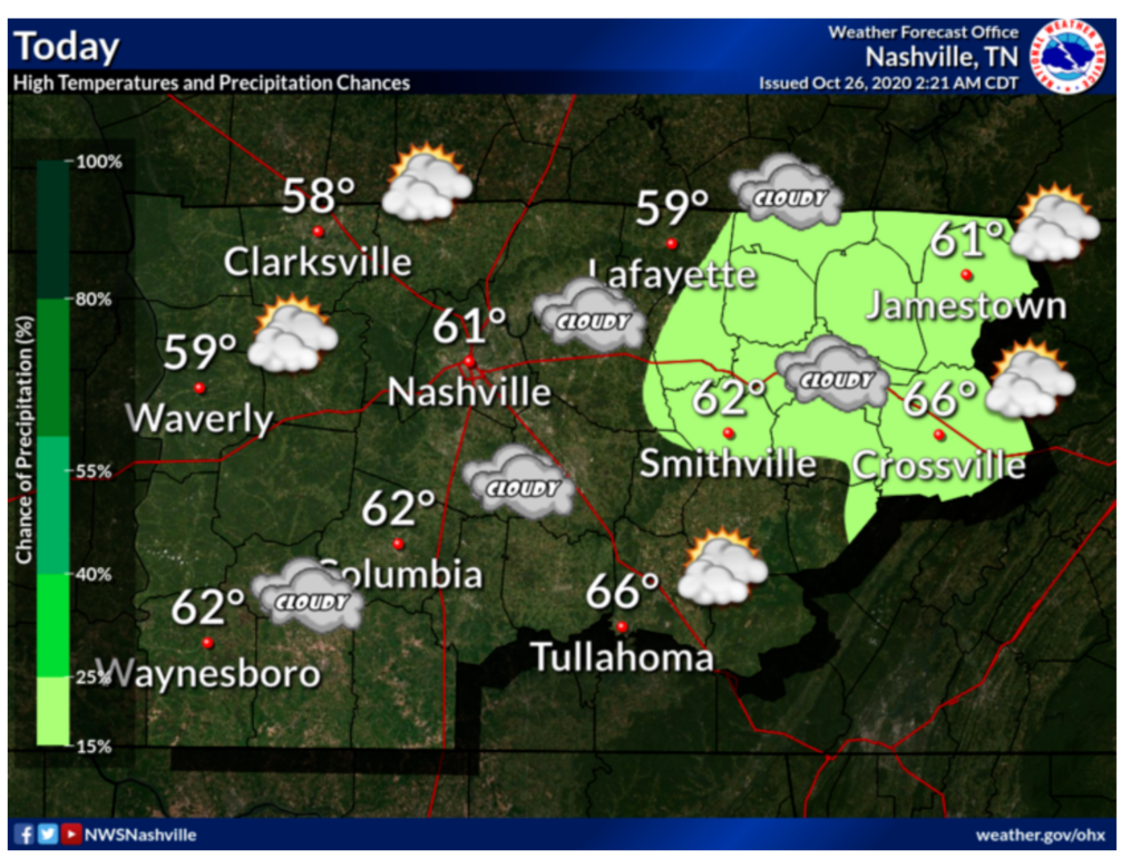
Highs are a bit cooler today at 61.

It’s a foggy, misty Monday morning. Seems about right, huh?
A slight chance for light rain/drizzle to continue for the morning, but otherwise cloud cover will stick around.
Highs are a bit cooler today at 61.
If you loved yesterday’s cool drizzle, today is also for you.
Green line close to the red line from this morning’s weather balloon means temps and dewpoints are in a serious, committed, long term relationship for today. Relative humidity 80% to 90% allows for drizzle.
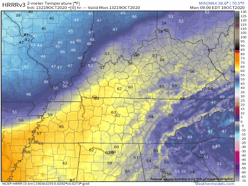
If you stepped outside, you can definitely feel the cooler air in place after a cold front moved over most of the state, leaving us with fall temperatures and some overcast skies.
The cold front is still pushing itself towards the eastern coast, so places like Alabama and Georgia, even eastern Tennessee has not felt this surge of cooler air.
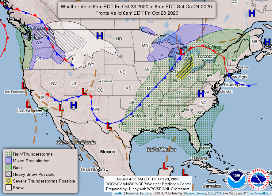
Could that really be a *cold front* coming our way?
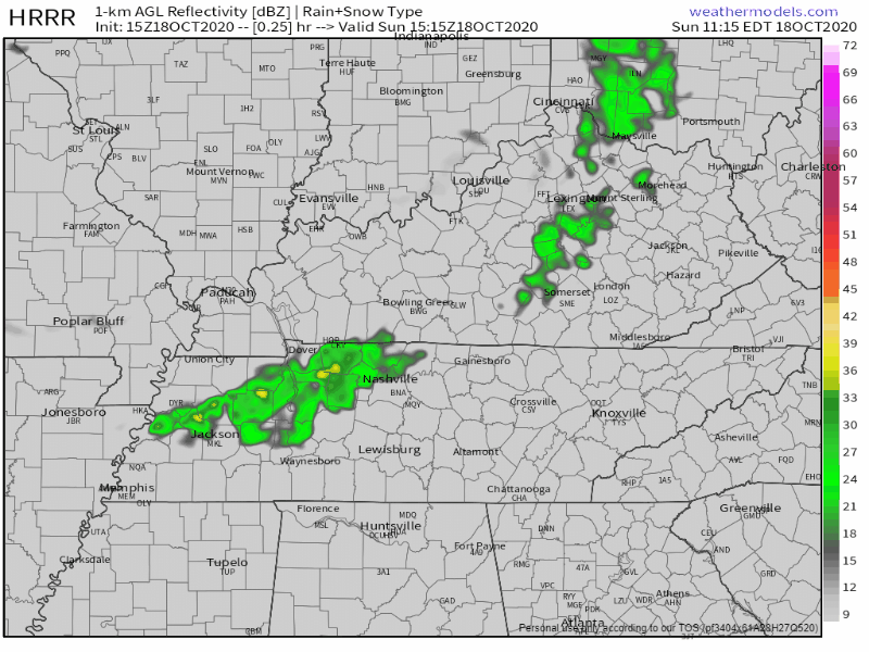
We have to endure some showers and thunderstorms before we can reap the cold front’s temperature benefits. Today will probably not be a good day for all the thunder-and-rain-fearing dogs out there.
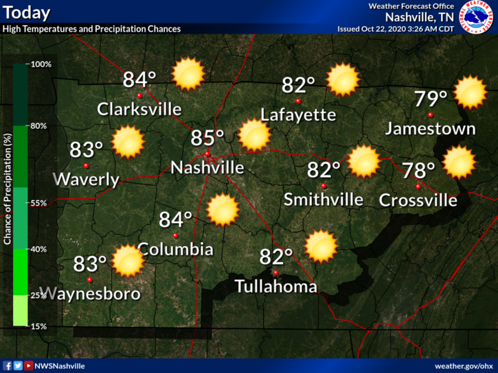
Another “non-pumpkin-spicey” day. High of 85(!) and humid. Dew points in the 62-64 range.
Also this…
Rain should hold off until Friday, so tonight will be dry and still warm with a low of 64.

Another warm afternoon ahead with lots of sunshine and a few clouds. High temperature of 82.
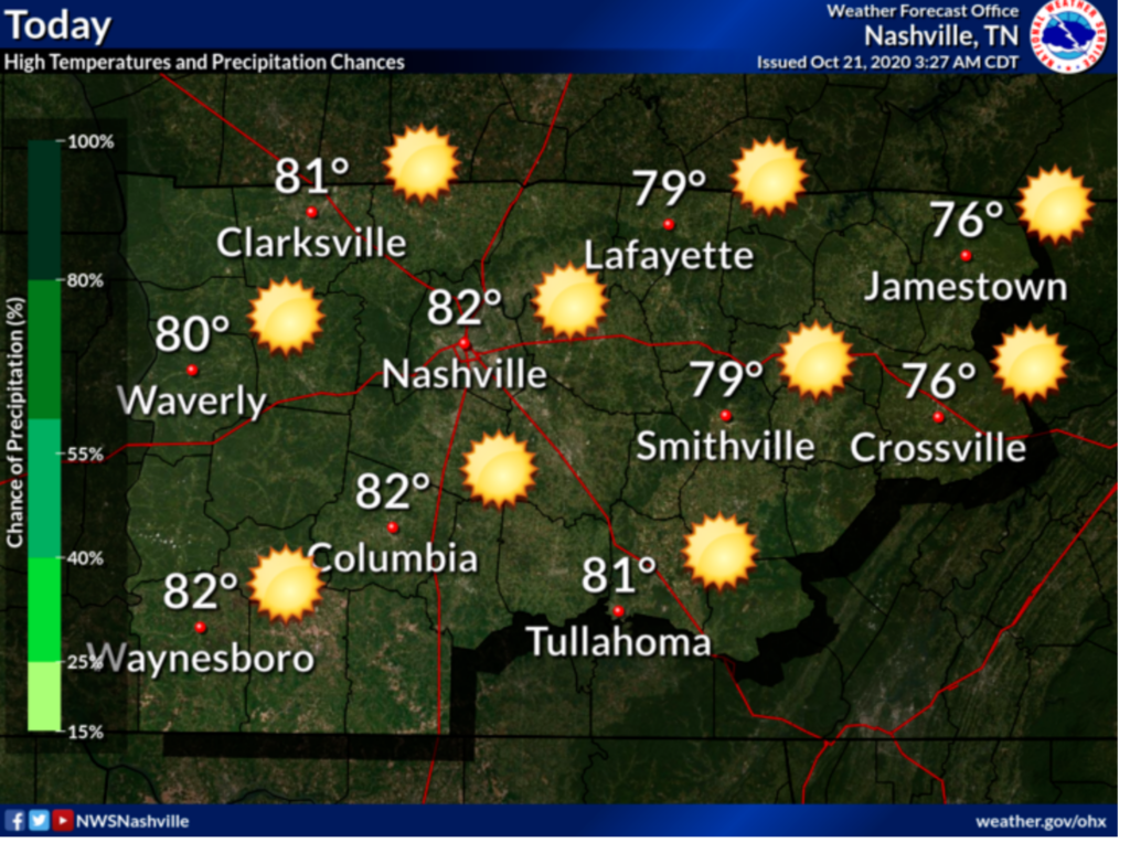
These temperatures are pretty above average for this time of year. But are we surprised?
The average high temperature for October 21st is 70 degrees, so we are a good 12 degrees over.
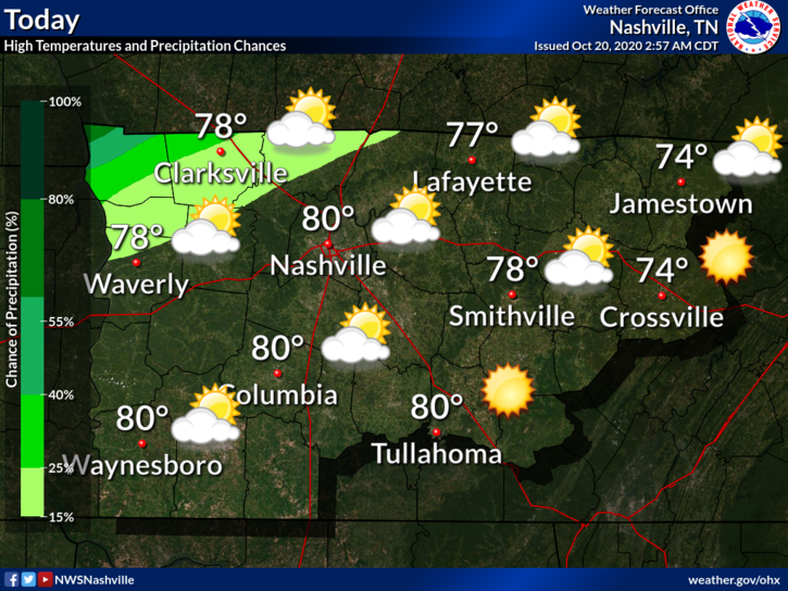
Some clouds are hanging out over us this morning. They should begin to make their way out this afternoon.
Dew points will return to the 60’s today. Not a miserable humidity level, but certainly not pleasant for October!
Wait for it. The sun rises on a cold front to our northwest:

Cooler temps are behind the front, rain is along the front. Looks like it’s coming this way. But . . . Doesn’t look like the front get to us. It’ll stall, then fizzle out tonight.
Chances of seeing some showers will continue throughout the afternoon, then should be diminishing by 5 pm.
We should clear out by this evening. Heavier rain will stay to our north.
It’s not looking to be a washout – around a tenth of an inch of rain is possible. There could be some locally higher amounts.
Behold the Urban Heat Island…
We will warm up to 68° today with bright sunshine.
No 30 degree temps tonight. Lows should settle in the upper 40s to around 50. Warmer than this morning was.
Few more clouds than Saturday and touch warmer with a high of 71°. Perfect for a noon kickoff. Expecting a south wind around 10 MPH or so., for all those times Kern will be holding the PATs.
You must be logged in to post a comment.