

Rain ended after lunch. Instead of dry weather and a stiff wind, we got a steady drizzle for several hours.
Drizzle wet the streets.
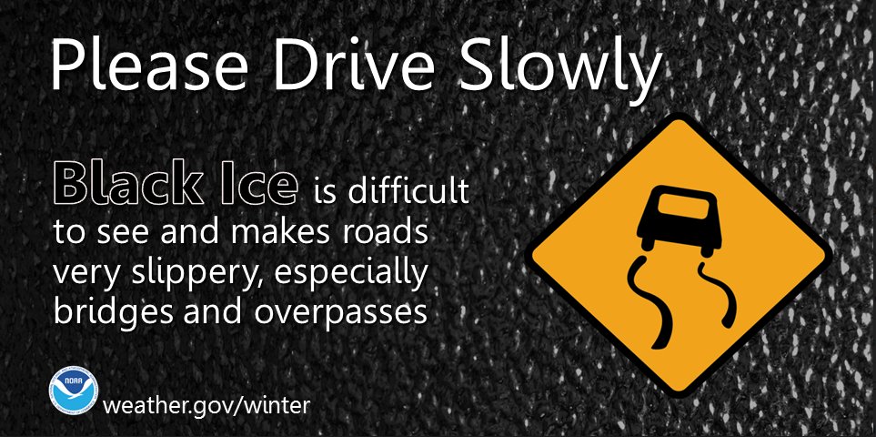
Temps are dropping and should reach freezing everywhere in Davidson and Williamson Counties tonight. Black ice will form in spots, regardless of elevation. Many places will drop to 30°, some may get colder.
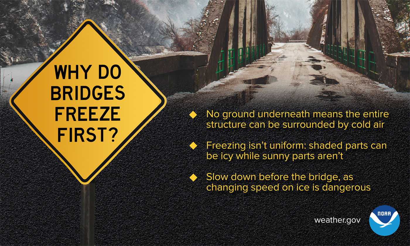
Black ice will form in spots on various bridges and overpasses. We do not know which bridges or which overpasses or exactly when. Temps will be coldest just before dawn Friday, but we could see black ice form before then — as early as early tonight (Thursday night).
By noon Friday, 36°, by 3 PM, 38°. Ice should melt sometime then.
1
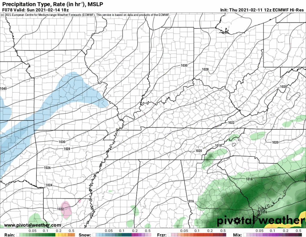
Another winter system will pass to our southeast between late Friday night until around mid-day Saturday. This one will may miss us, but the global models – operating at a lower resolution – toss us a brief period of wintry precip. The higher resolution short term models show very little, if any, precip; what little we get would be freezing rain.
Below is a mashup of several models snapshotting what the radar should look like at noon Saturday.
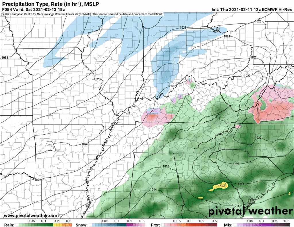
Not much consistency here. Inconsistency breeds uncertainty, about timing, amounts, and whether we will see anything at all.
The National Blend of Models tries to average all the models together. The consensus idea is freezing rain (again), pretty light:

Some other data thinks this could be a snow event. We think freezing rain is more likely, but here we are less than 48 hours away, we don’t really know much, if anything, other than here comes another potential event. Possible the precipitation misses us entirely.
2
We’re getting several questions about “three to six inches” nonsense people see on their crap apps for Monday/Tuesday.
The Euro tosses us consecutive snowmaking systems:
The GFS is similar:
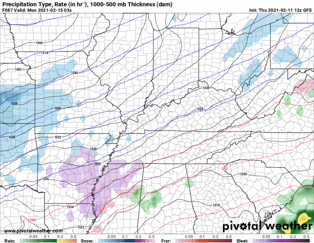
Model data at this range is often wrong, sometimes very wrong, but two separate models telling similar stories is interesting. It’s way too soon to determine precipitation type. Models disagree about whether it’ll be rain, freezing rain, sleet, or snow, so any attempt to forecast an amount has no value. It’s entirely possible we get friendzoned and only get a cold rain. For what little it’s worth, the Euro ensemble data ranges snowfall from under a half inch total to around 2″ total, and even that dataset is unreliable.
This could turn out to be the snow event of the winter, but it’s too soon to draw conclusions. I would start getting excited about this if this model data remains the same Saturday night. Let the higher resolution models have a look at it then.
3
GFS and Euro models also show another system around Thursday that might bring snow. Copy the “it’s too soon to speculate” comments above, paste them here, and multiply them by 2.
Categories: Forecast Blogs (Legacy)
You must be logged in to post a comment.