
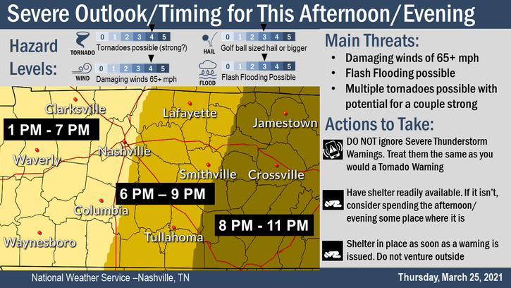
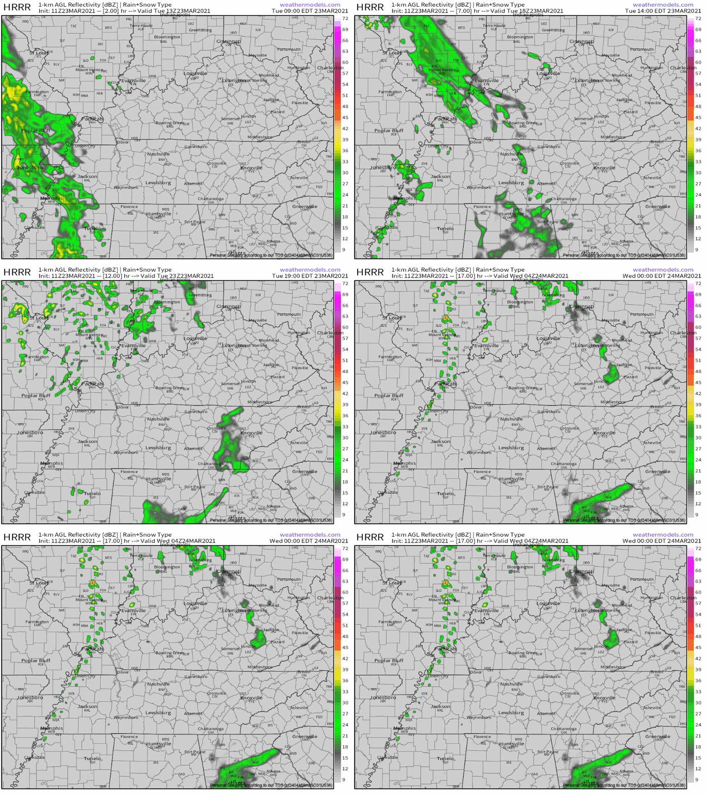
If you only take one thing away from this blog please remember this: Stay connected all day today. We will be updating you on Twitter (@NashSevereWx) all day. We will go on YouTube Live if a warning is issued in either of our two counties. Do not read this blog and tune out. Things will change as this situation develops.

You must be logged in to post a comment.