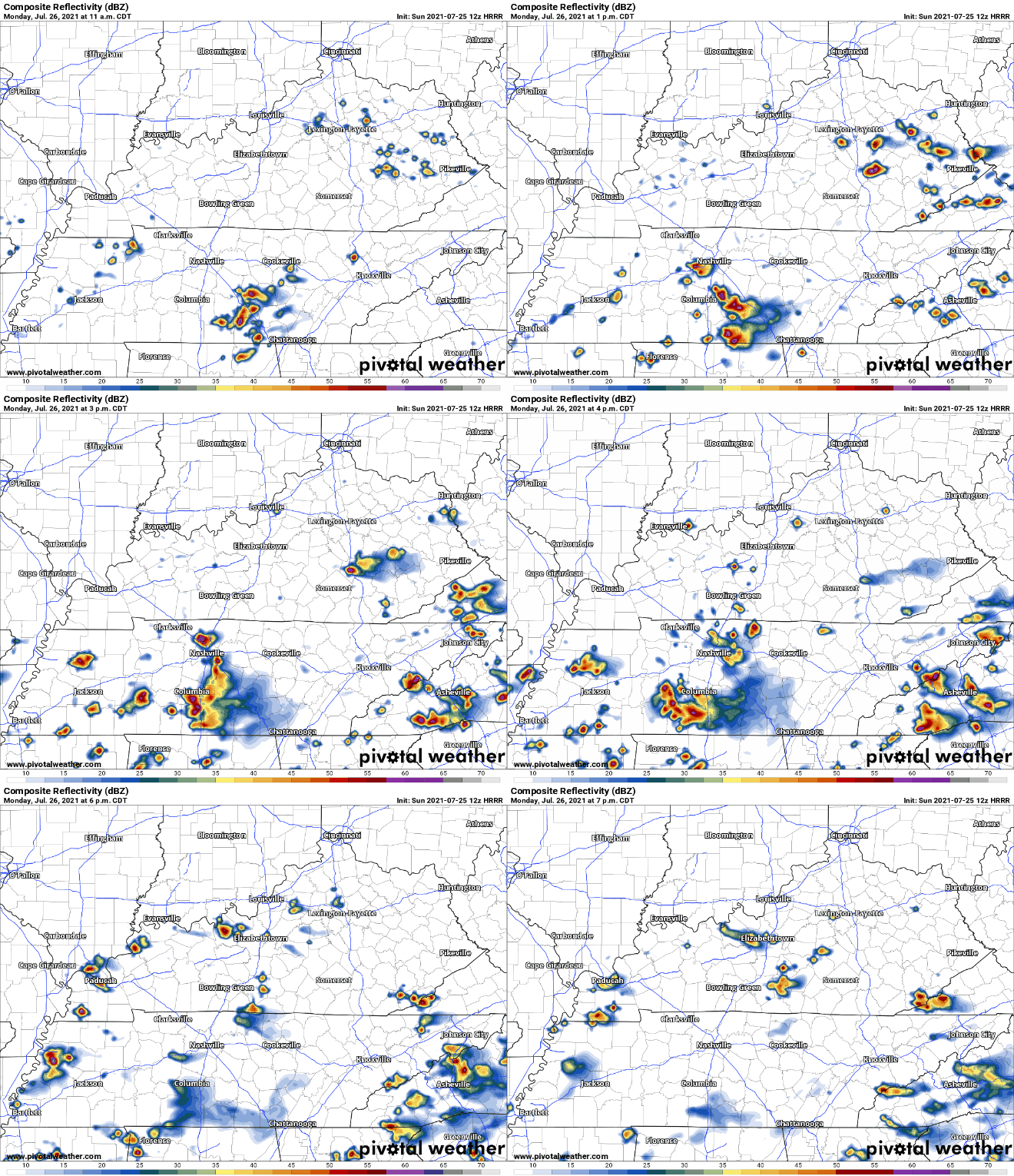
Expect a few showers here and there early this afternoon.
The HRRR thinks a few showers will develop and slide south to north this afternoon. The Euro model agrees. Look light rain chances to end tonight.
Expect a few showers here and there early this afternoon.
The HRRR thinks a few showers will develop and slide south to north this afternoon. The Euro model agrees. Look light rain chances to end tonight.
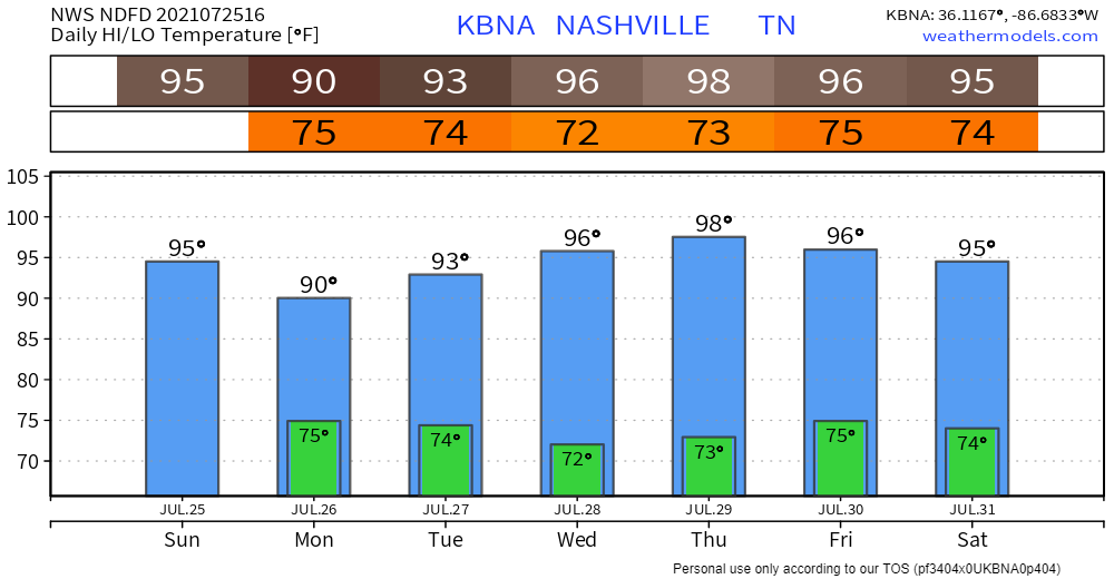
It’s a calm start to the week with not much to worry today. Music to your ears right?! Cloudy skies today won’t produce any rain for your Monday just some heat!
There is rain potential on Tuesday but nothing detrimental to your day. The rain might start to trickle in some Tuesday morning but if there are some drizzles, it would be more so during the mid to late afternoon. Clouds stay tomorrow with increased wind speeds up to 10 mph. Overall, Tuesday’s weather is nothing that keeping an umbrella in your car won’t fix! Not enough rain for a rainout. No lightning or other worries.
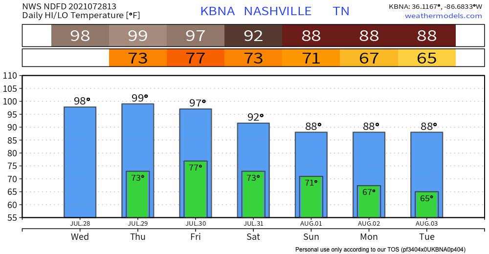
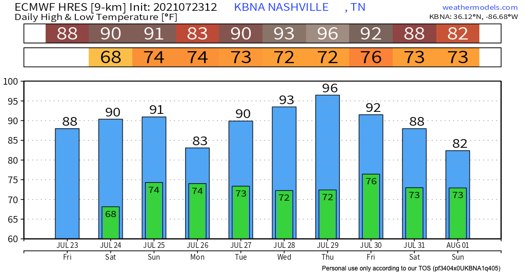
No hazards ahead. Except for heat.

Rain this morning moved out. We’re good today. And Monday looks quiet.
Looks like next best rain chance is Tuesday. The HRRR (below) has Tuesday morning rain:

The GFS also has not-enough-for-a-rainout rain Tuesday:
HRRR model has light rain off and on (mostly off) after midnight into Sunday morning and maybe continuing into early Sunday afternoon. No rainouts, keep your plans.

Earlier model data suggested a thunderstorm is possible north of I-40 late Sunday afternoon. Current data doesn’t. Weekend looks good.
Light rain – no lightning or worries – may roll in Saturday night. See HRRR model below.

Sunday morning rain retreats north, like a frightened turtle. Rain may sink south again Sunday afternoon/evening and make it us, but that’s unlikely.
No weather concerns to talk about through late weekend. Outdoor activities are a go!
A front will sag southward toward the Kentucky border on Sunday. The front will take advantage of some moisture and produce some isolated to scattered showers. Low-ish resolution Euro model illustrates:
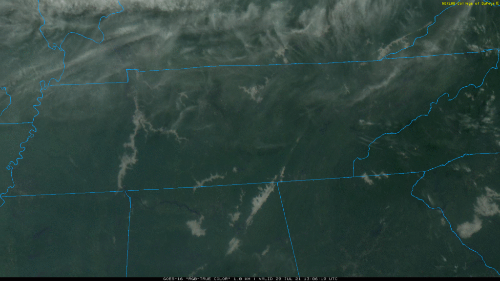
Satellite in the sky. We bathe in sun.

I can’t find anything meaningful in the models through the weekend. The Euro tosses a sad, lonely, ineffective shower at us Sunday morning but that looks like nothing. Next week a few systems approach from the west but are battling rain-eroding high pressure as they work east. So while next week looks maybe wet, it’s all too uncertain to comment further. Meh.
NWS-Nashville promoted Sunday night’s near Page High School Shamnado to Tornado, an EF-0 of very little power.
Shamnadoes are more frequent than we think. Shamnadoes are most dangerous when they intersect us when we are most vulnerable, such as “during trapeze practice.” Severe Thunderstorm straight line winds are as damaging, many times more damaging, but a shamnado can tip or damage an unanchored mobile home, or send your vehicle’s wheels off the ground.
There was an almost-but-not-quite tornado yesterday in Will Co:
This was from the storm that got the Severe Thunderstorm Warning near Page HS in Will Co. There was rotation, briefly. Did it touch the ground, ehhh probably not. We talked to the NWS about it. We went out there and there was very little damage (a few trees, looked more like a severe thunderstorm). But was it a tornado? Ehhhhhhh nah. These are called “Shamnadoes.” They’re not quite tornadoes, they’re not exactly straight line winds, and they do no ratable damage that would classify them on the EF scale. They spin up superfast then fall apart just as fast. So, Shamnado. They’re “sham” tornadoes, a play on words, named after NWS-Nashville lead forecaster Sam Shamburger, who studies them. Great job by NWS on this, a Tornado Warning was unnecessary at the time, and in hindsight not issuing a tornado warning was a good decision. The Severe Thunderstorm Warning was exactly the thing to do. We’re blessed with excellent radar meteorologists here, making tough decisions about warning (or not), severe vs tornado. Good work, y’all.
A Wind Advisory is in effect until 7 PM for 35-40 MPH wind gusts.
Radar shows thunderstorms and heavy rain sitting off to our west this morning.

It looks like it’s going to drive straight into town before lunch and waterblast away all activities. That may happen, but the HRRR model has another idea and I am here for it.
You must be logged in to post a comment.