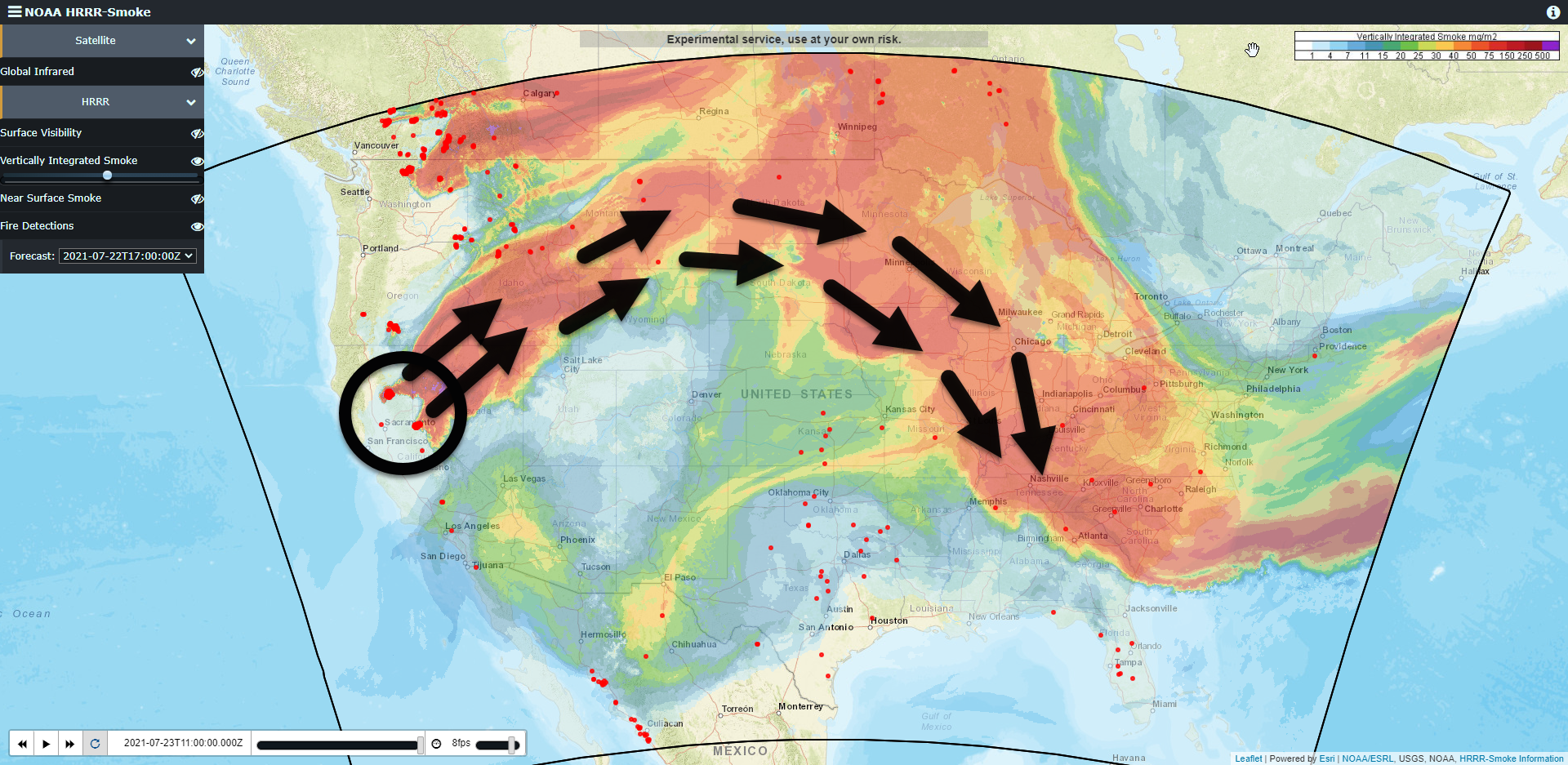
Our smoke is coming from two large wildfires in California. Maybe some Canadian smoke mixed in. Winds aloft have picked it up and blown it a few thousand miles.
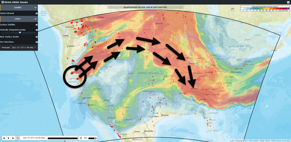
It’s making sunrises and sunsets red. Feels equal parts unsettling and fascinating.

Our smoke is coming from two large wildfires in California. Maybe some Canadian smoke mixed in. Winds aloft have picked it up and blown it a few thousand miles.
It’s making sunrises and sunsets red. Feels equal parts unsettling and fascinating.
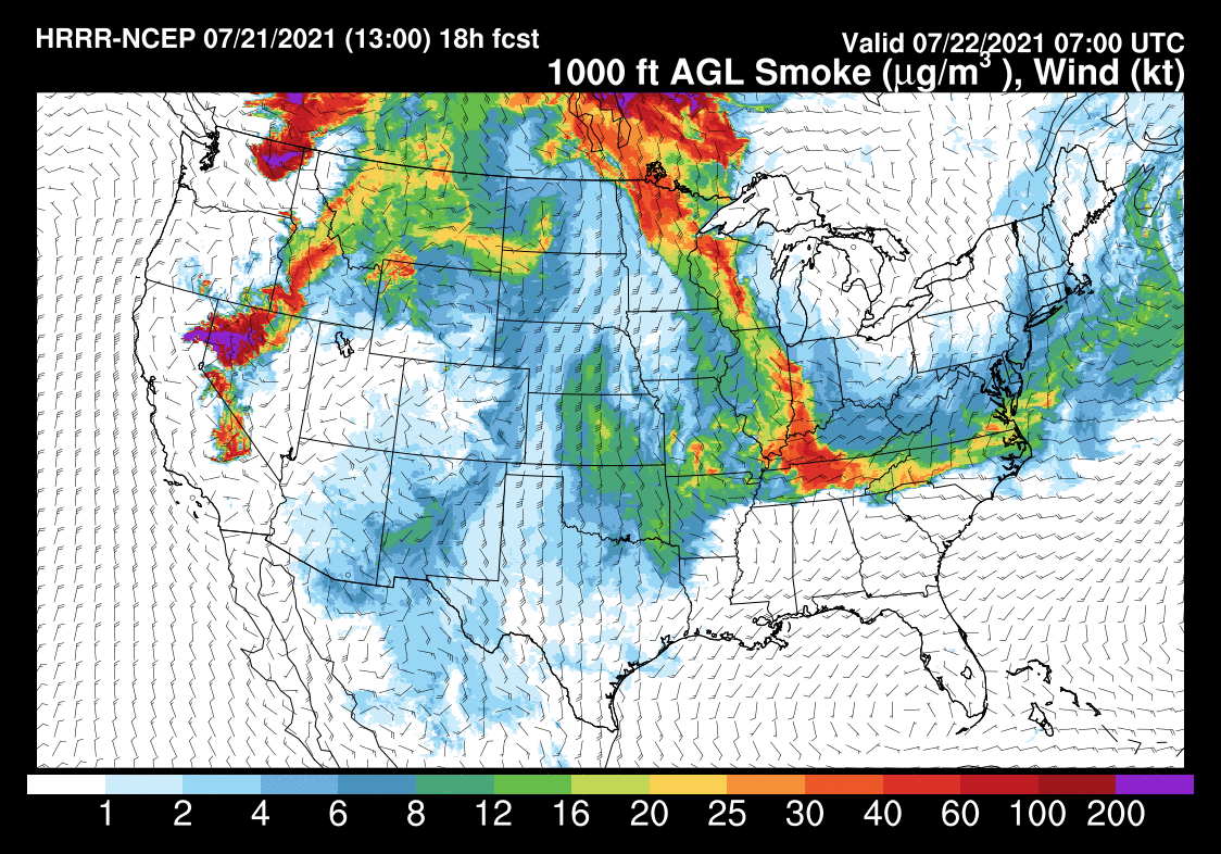
We have reached the end of the rain! We’re staying dry for today and tomorrow. Any blips of storms on the models stay south of us. There is not much of a chance for those to develop throughout the afternoon time and affect us.
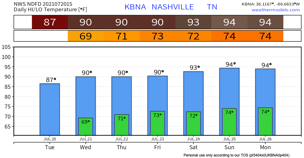
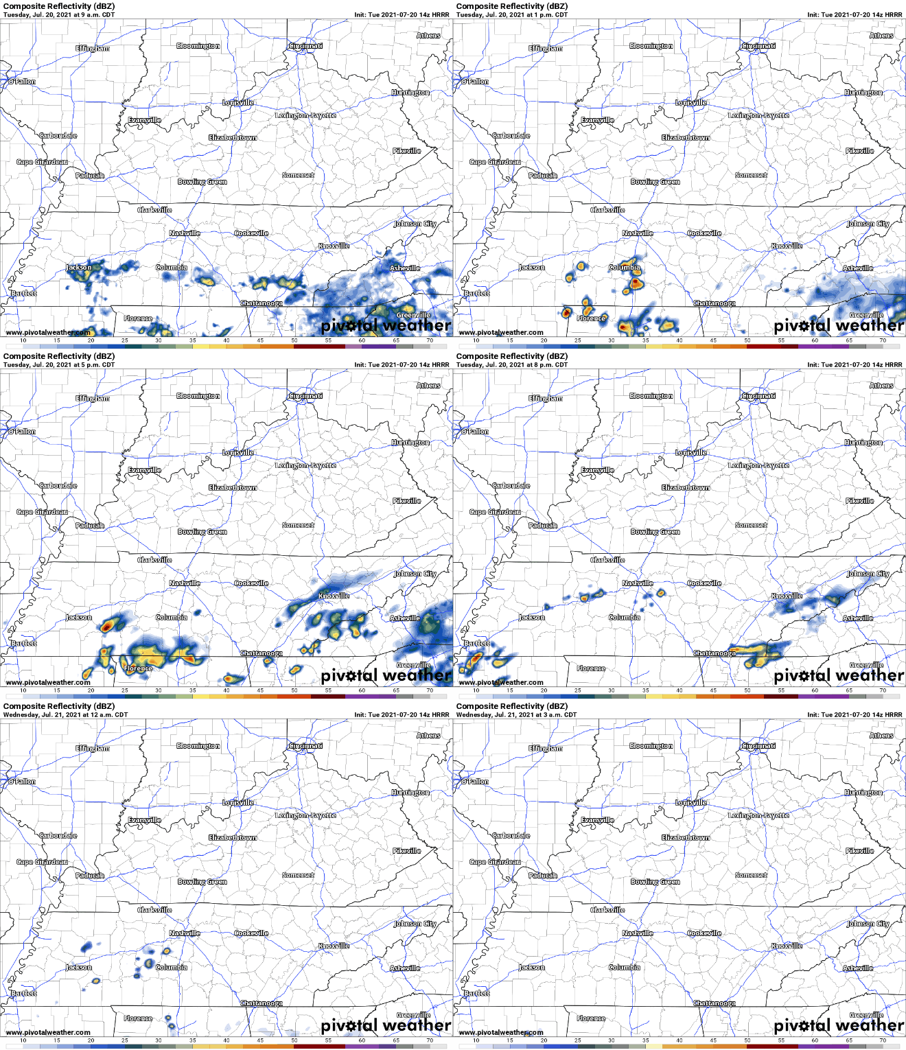
Rain continues south of us today. We may see an upper level low spin a few showers in here this afternoon along and south of I-40. Nothing like yesterday, though. Here’s the HRRR model:
Our soil is saturated so WPC included those generally along and south I-40 in it’s 5% to 10% probability of flash flooding. Meh, but something to watch.
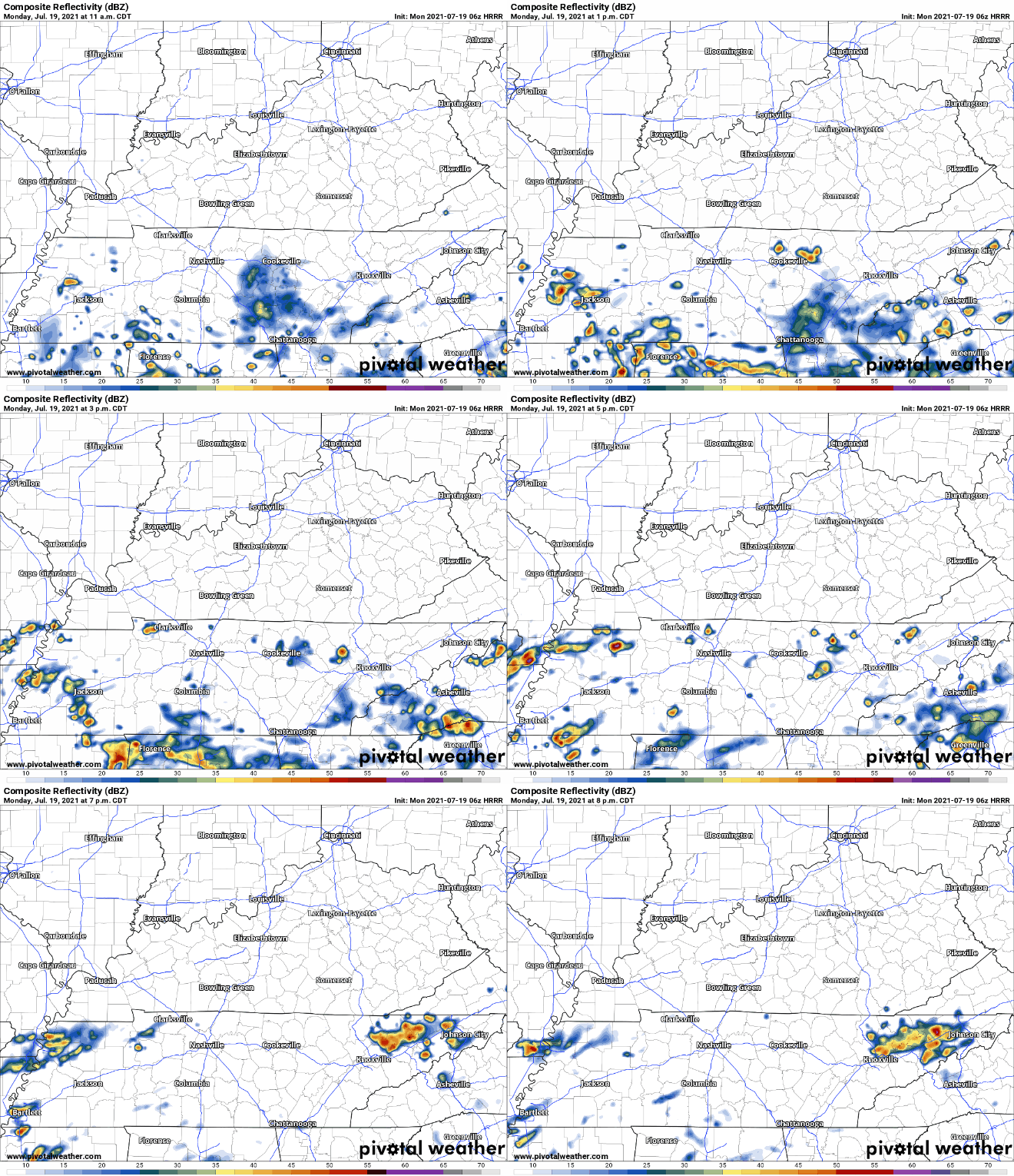
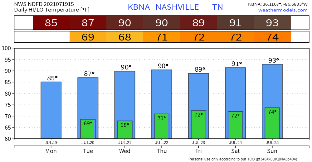
Heavy rain got many of us this weekend. Others, not so much. Today the rain is more likely in southern Middle Tennessee. Notice the HRRR model, below . . .
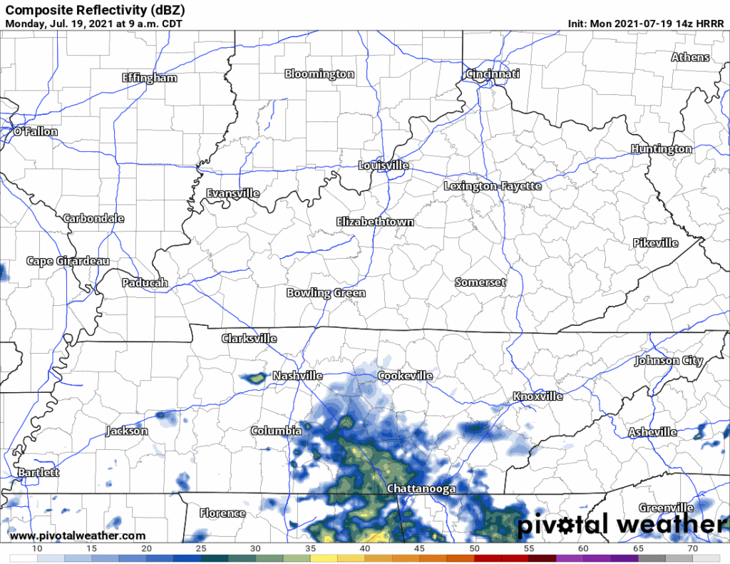
. . . it’s got a few downpours south of I-40 today. Those north: nothing.
Ah yes, the wet weekend we all hoped for continues.
Expect rain this afternoon. Amounts will vary by community. Kinda like last night when those north and east of downtown got heavy rain and a Flash Flood Warning. Most of us, however, got nothing.

The big question – when and where will it rain this weekend? The honest answer is – no one really knows. But let’s try to get a better idea. Let’s have a look at model guidance.
We’re off to a hot and humid start this weekend. Dewpoints will climb into the low 70’s as the day goes on. Get your gills ready.
Pop-ups have all the fuel they need today: plenty of warmth and moisture, a front to the north for extra lifting in case they were feeling extra lazy today, and decent instability and shear.
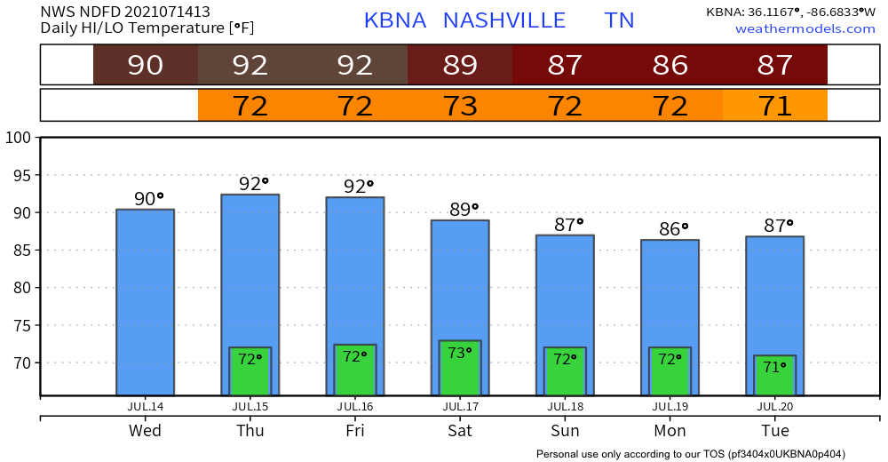
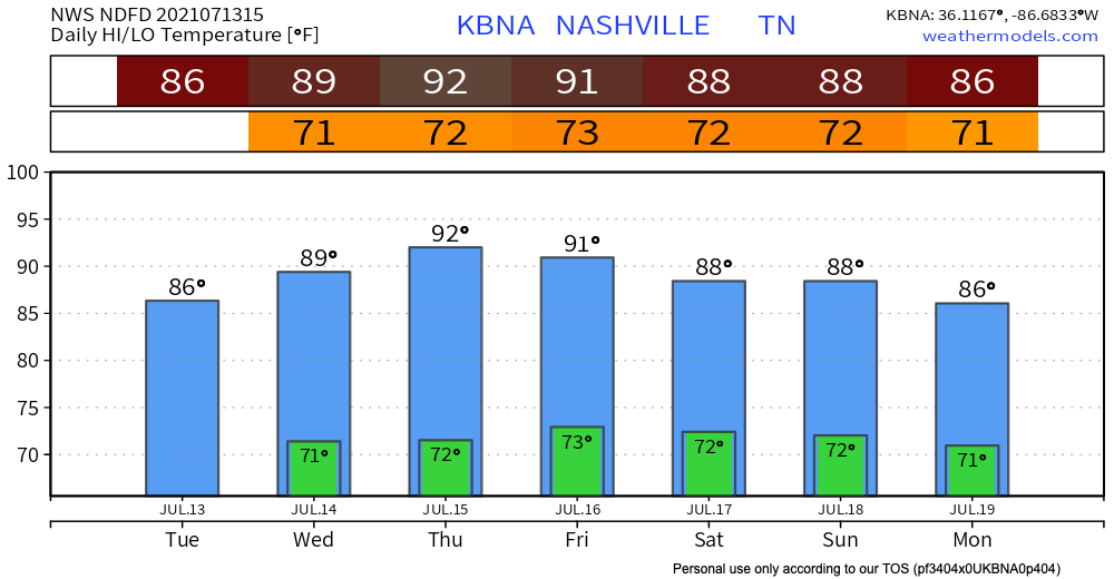
Copy and paste yesterday onto today, because rain chances are down and temperatures are up. It’s looking like it may even be a bit hotter than yesterday with heat index forecasted to reach the mid to upper 90s later this afternoon. Typical muggy, summer day in Tennessee. Not going to be much cloud coverage to keep the sun from beating down on you.
Rain chances are taking a downturn the next couple days. Precipitation will be minimal. Now this doesn’t mean you won’t see any rain at all. But rain events won’t be near as widespread as we’ve been used to recently, and chances of any turning severe are slim to none. HRRR says parts of our area could see typical summer afternoon showers, but most of the action will move east over the Plateau.

Clouds cover the area today with scattered showers and storms continuing to move through. Shear is low so not expecting severe weather to tag along with these. Still be prepared for wind gusts and lightning storms in the mix. Storms and showers should mainly be out of the area by 9pm-10pm, see HRRR below.
You must be logged in to post a comment.