
Quiet Friday
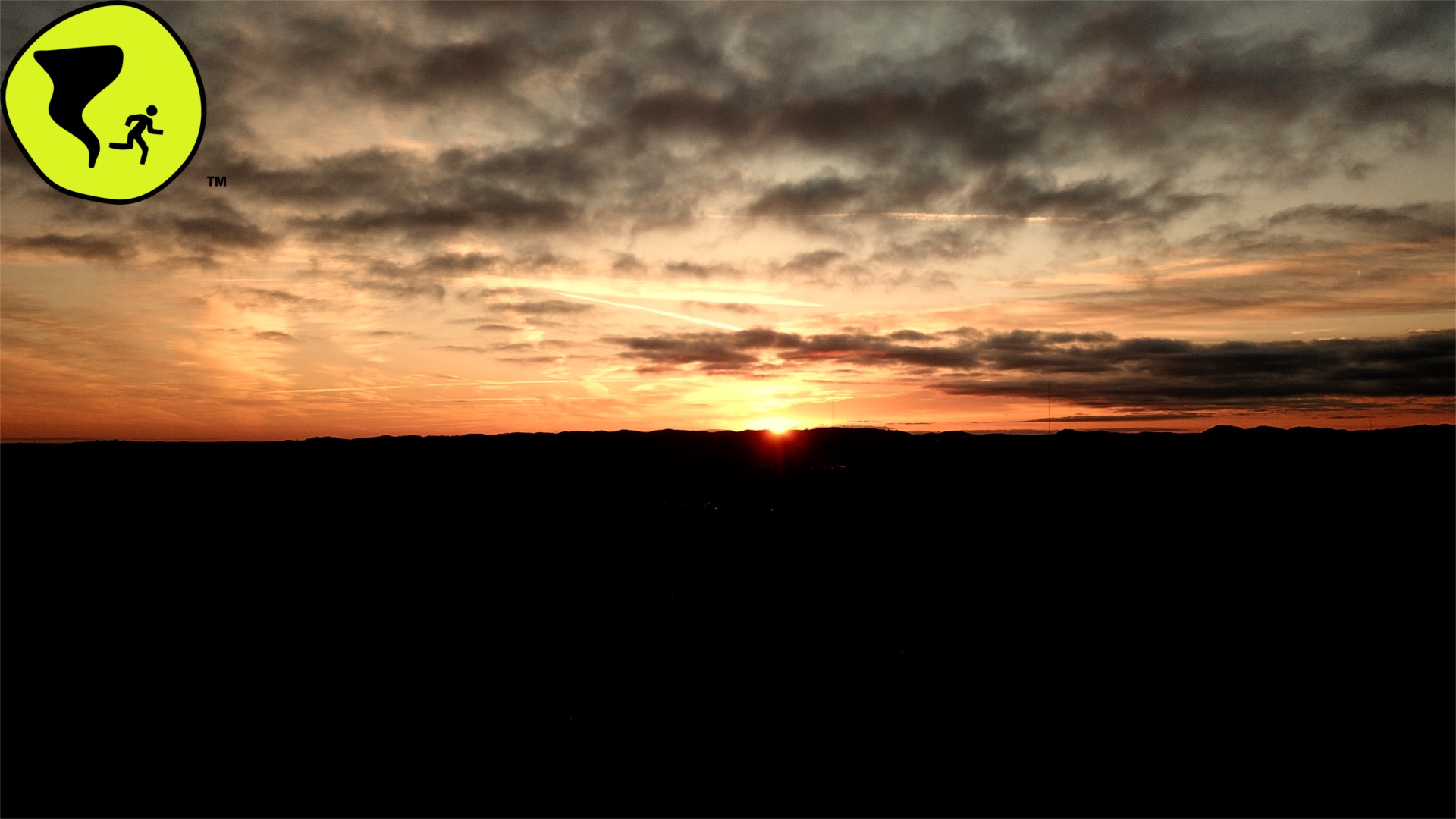
Check out today’s sunrise over the hills surrounding Grassland in Williamson county.
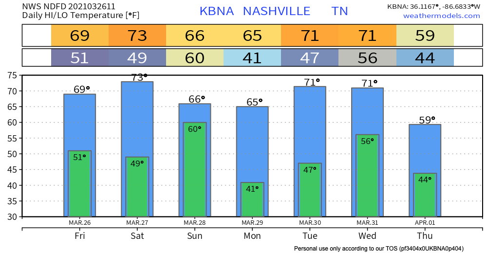
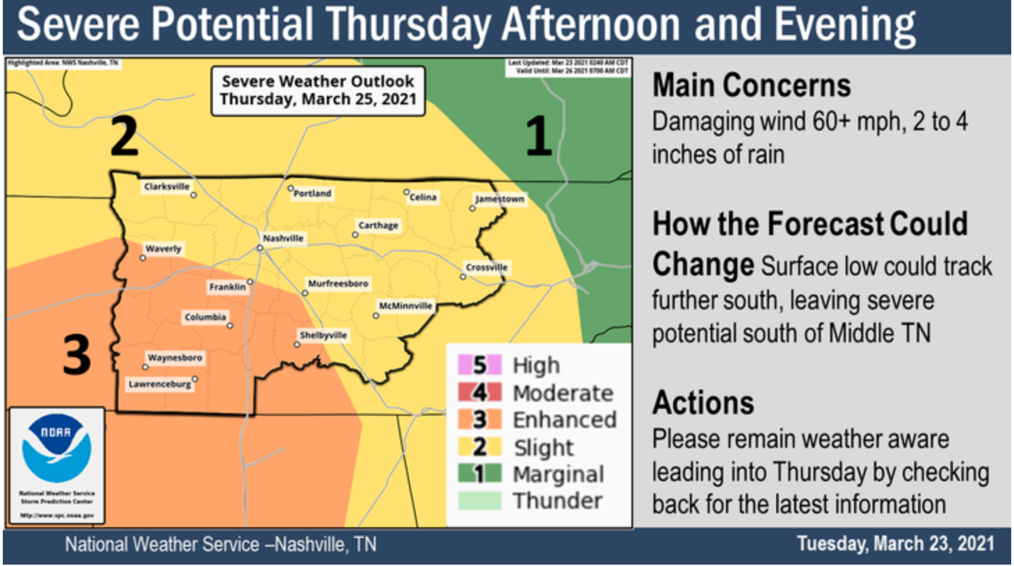
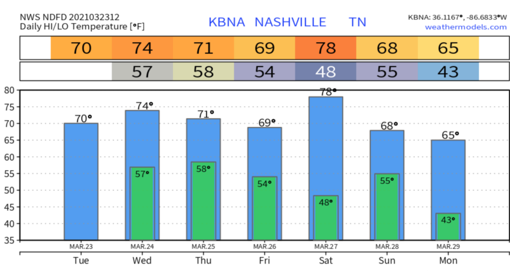
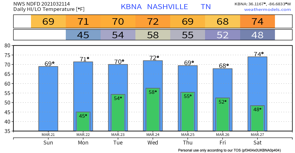
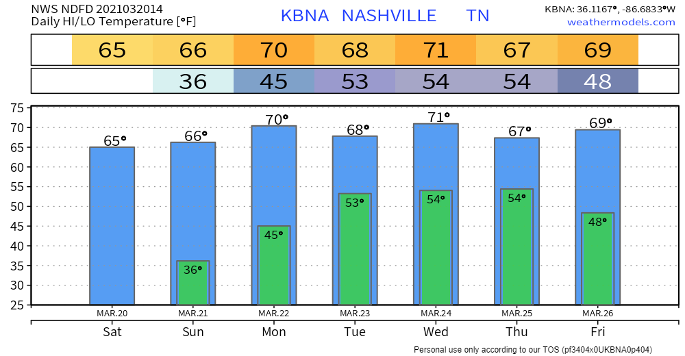
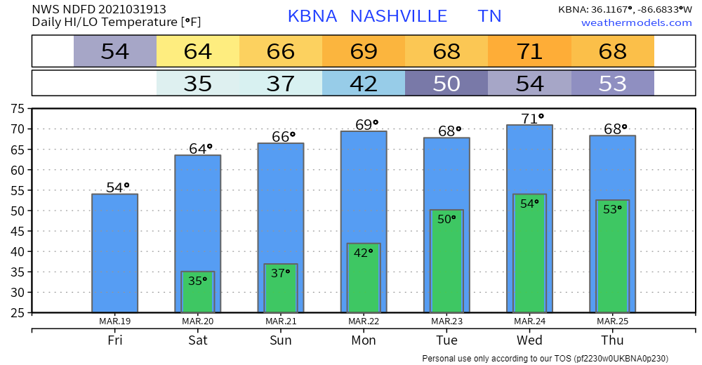
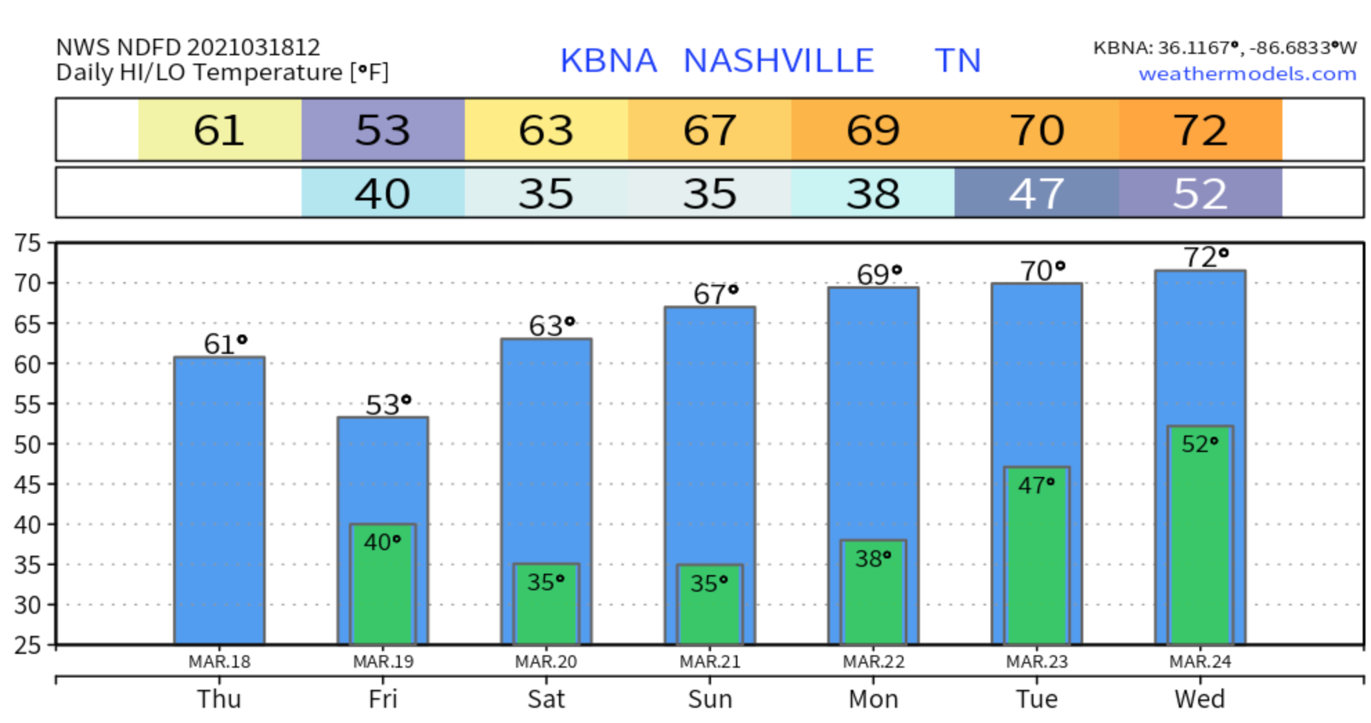
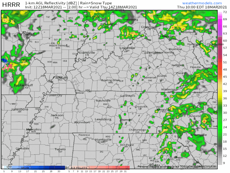
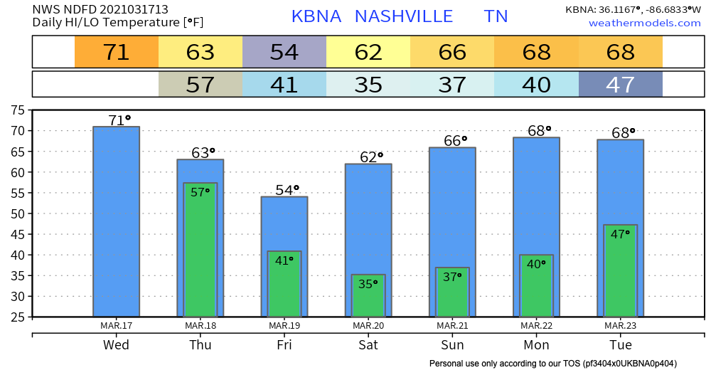
After last night’s severe weather, we dry out for most of today followed by decreasing clouds throughout the morning. We’ll be topping out near the upper 60s for our high temperature and the lower 50s for our low overnight tonight.


You must be logged in to post a comment.