Severe Thunderstorm Watch Details, ETAs, Hazards, Probabilities, Vulnerable Persons. Second Line Saturday Morning?

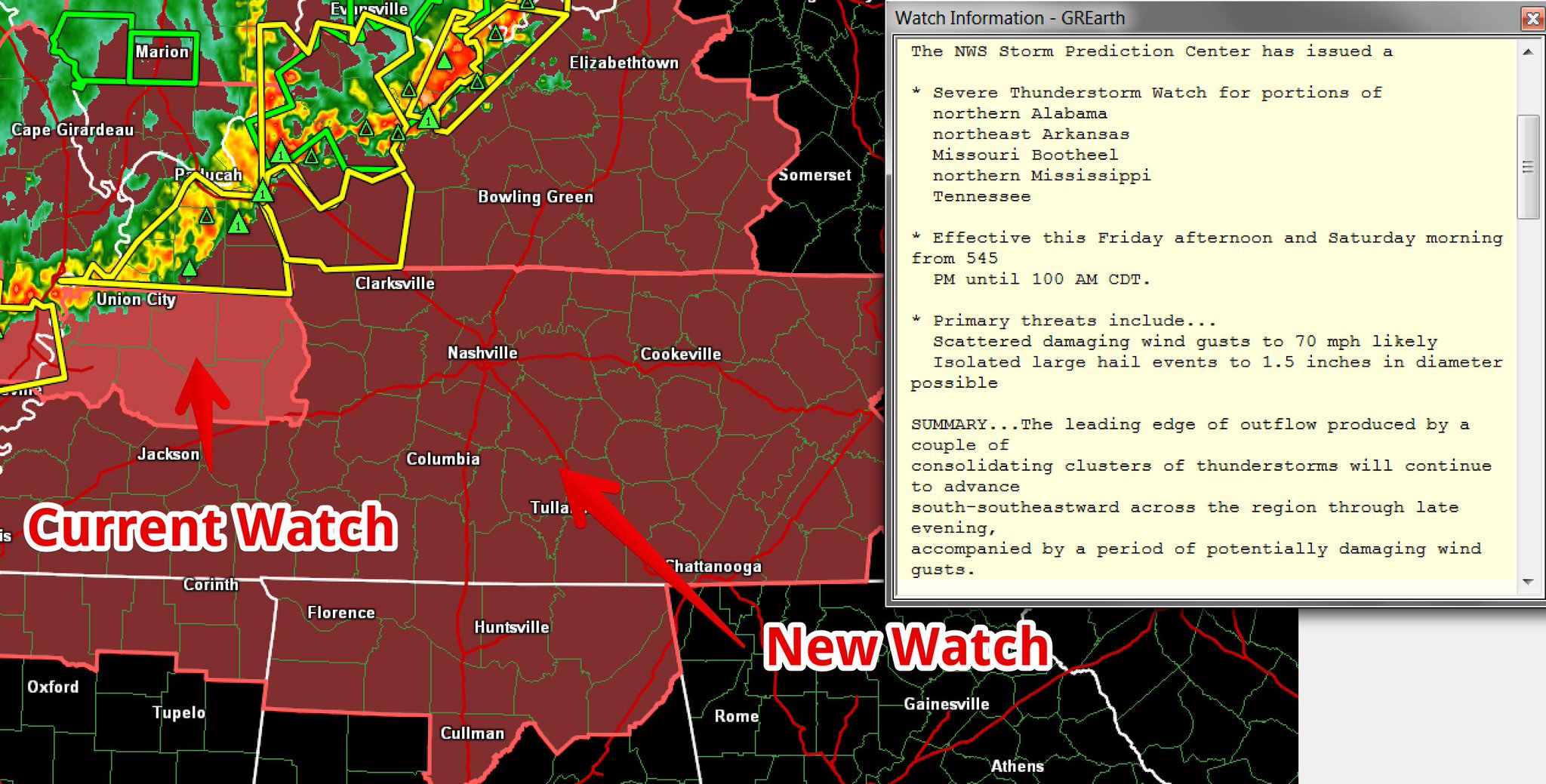
SEVERE THUNDERSTORM WATCH

A Watch means conditions are favorable for severe thunderstorms.

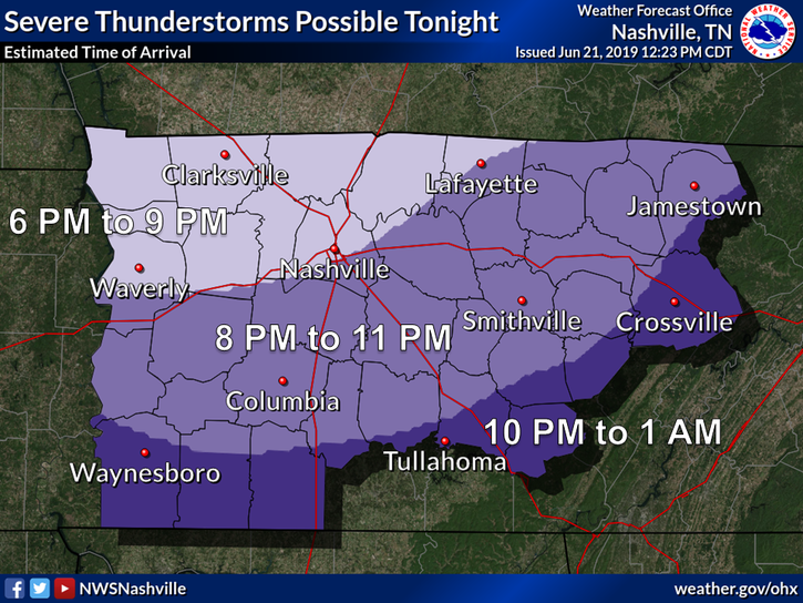
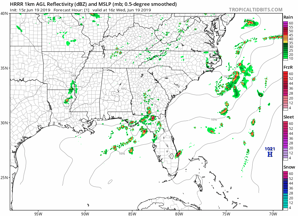
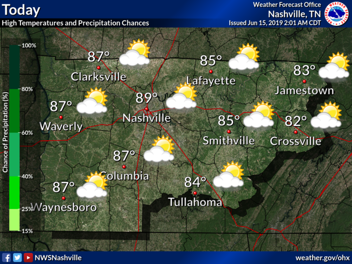
A storm system is expected tonight, coming in a large line down I-24 from Kentucky.

Do not get hung up on Williamson County’s exclusion. A second Watch may be needed, to include Will Co., if storms stay severe tonight as they cross the KY/TN line. read more

Next Storm Event: a MCS Friday (early? late? Saturday morning?)

That was quite the evening of severe storms last night.

North Nashville storms before 8 AM should drift north and out of our area.

THURSDAY – FRIDAY MORNING

Later this morning,

further development in west TN and persistent [model] guidance suggests that more scattered [storms] will continue from mid morning through the early afternoon…especially for locations along and north of I-40. This will be monitored over the next few hours, but the severe threat should generally remain low. . . . Most of us will dry out by mid afternoon and early evening, remaining dry through the first half of Friday. (NWS-Nashville). read more

Chance of Showers and Storms this Afternoon & Evening; Active Weather Pattern through Thursday

June is back, a hard adjustment after last week. That’s weather for you.

Dew points (humidity) are rising, and so are rain chances.

Today is only the beginning of an active weather week.

Monday

Our high should reach around 88°F by mid afternoon. Meanwhile, clouds should increase, swelling and growing into the afternoon. With it, the chance for rain. read more